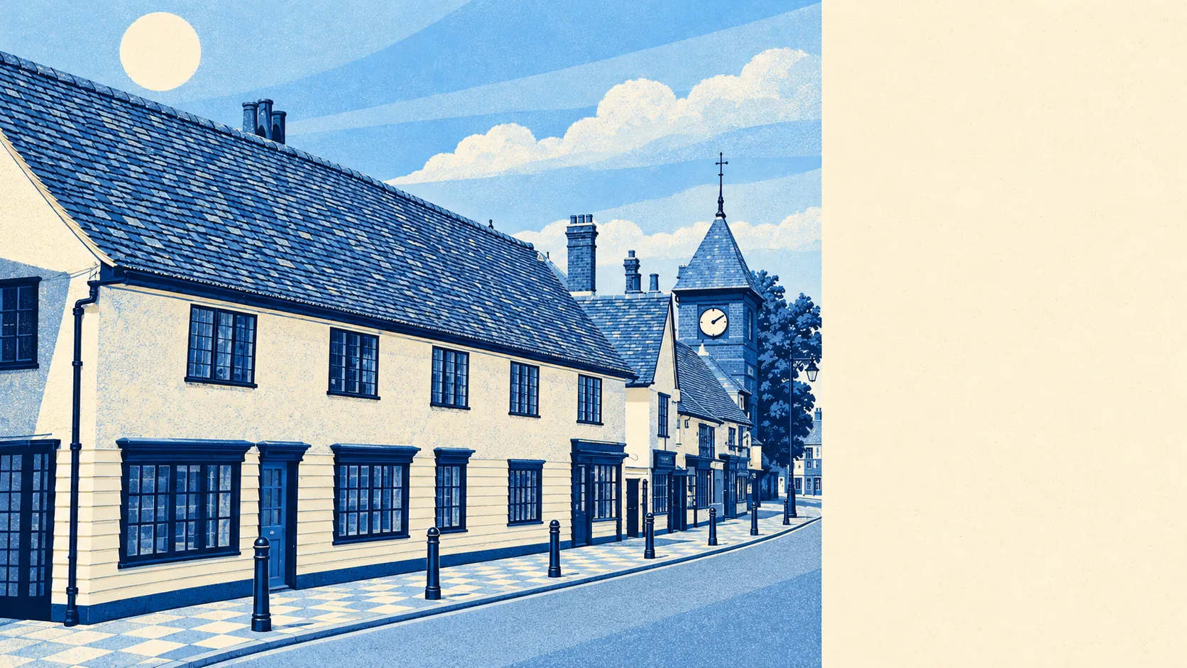
The countryside around Chipping Ongar is working arable farmland, and it comes right up to the edge of town. Public green space is a short walk from most front doors. There is water within a couple of hundred metres. Gardens are big, the pubs outnumber the restaurants, and the nearest national cycle route is some way off. None of it is protected scenery, and it doesn't need to be.
Homes in the Chipping Ongar area are on average about 210 metres from public green space, and about 9 green spaces lie within a kilometre of the typical home. After the war, green belt policy sent the big housing schemes elsewhere, and the fields stayed where they were.
Water is just as close. The average home is about 250 metres from the nearest blue space, and about 32 bodies of water lie within a kilometre. The Roding runs through the valley between Chipping Ongar and High Ongar. Most of the rest is the sort of water a dog finds before its owner does.
The National Cycle Network is less convenient. The average home is about 3.5 kilometres from the nearest route, and no postcode in the area is close to one. Cycling here means country lanes, and the people who do it know the lanes very well.
The rated premises in the area include 69 shops, 11 pubs and 7 restaurants. Eleven pubs against seven restaurants says something about how evenings are spent.
Fine particles in the air across the wider district council area measured about 8 micrograms per cubic metre in 2024, a council-wide figure that includes the busier roads closer to London.
The landscape is big mechanised farms, mostly arable, scattered with hamlets whose names sound made up and aren't: Toot Hill, Stanford Rivers, Fyfield, Norton Heath, Moreton and Bobbingworth. St Andrew's at Greensted is believed to be the oldest surviving wooden church in the world, which is a big claim for a hamlet most of London has never heard of. To the north-east, the former RAF Chipping Ongar airfield near Willingale flew bombers in the Second World War and closed in 1959. The fields have taken most of it back.
Private outdoor space here is generous. The area has about 215,000 square metres of private garden for every 1,000 residents. The share of total land given over to gardens looks small only because the rest is farmland. In this area, a house with a decent garden is the normal thing.
The council's valuation list counts 298 rateable business premises in the area, and offices are the biggest single category at 100. Shops come next, then a scattering of warehouses, workshops and industrial units. These are premises on a list, and some may be empty or used for something else. Even so, that is a lot of desks for a town whose commuters mostly drive away to work.
Of the 50 food premises with a hygiene rating, about 80% hold the top score of five and none sit at the bottom of the scale. A takeaway in Ongar is unlikely to come with a hygiene story attached.
No area of outstanding natural beauty, site of special scientific interest or ancient woodland overlaps the area. That is no criticism. This is ordinary Essex farmland that has stayed farmland without anyone designating it, because the green belt has been doing that job for decades.
Countryside is one of Chipping Ongar's real strengths. There are fields and water close to almost every home, and gardens big enough that the farmland beyond is something to enjoy rather than a substitute for outdoor space of your own.