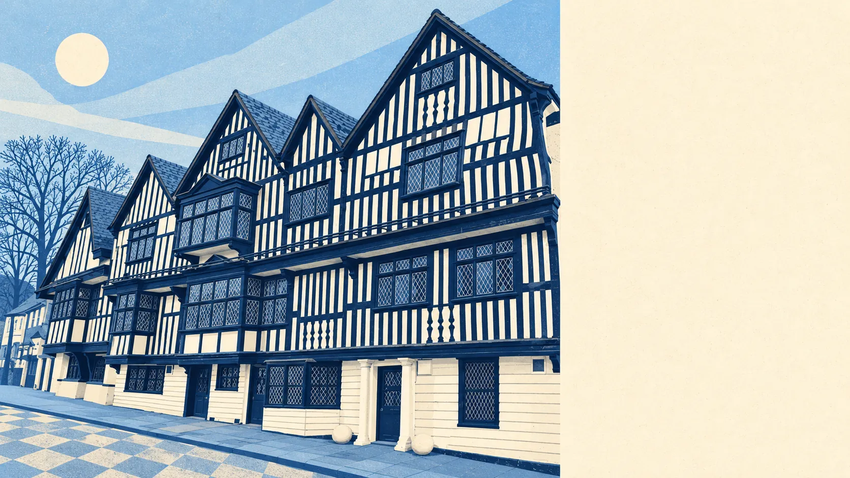
Chigwell has a lot of green space around it, and most front doors are very close to some of it. There are about sixteen green spaces within a kilometre of the average home. The nearest is a short stroll away. Private gardens are generous too. Chigwell has more trees within reach than it has trains.
On average, the nearest public green space is about 120 metres from a home in Chigwell, and there are about 16 within a kilometre. That makes a dog walk a simple decision. A buyer here isn't choosing whether to live near green space, only which of several to use.
Water is a little further. The nearest river, pond or lake is about 700 metres away on average, and there are about 6 within a kilometre. The Roding runs through the valley on the western side, and Roding Valley Meadows, now a Local Nature Reserve, were part of an RAF site that in 1953 housed the RAF contingent for the Coronation celebrations. The meadows were used to put on a show for the Coronation, and now they are open to anyone who wants a walk.
Cyclists have further to go. The National Cycle Network is about 7.75 kilometres away on average, and no postcode in Chigwell is close to it. Chigwell's green space is made for walking. To the east, around Chigwell Row and towards Lambourne, the land is wooded and mostly rural. The Wikipedia entry on Chigwell describes it as traditionally a farming community that is now largely suburban, and the eastern edge still looks like the farming end.
The wider postcode districts Chigwell sits in hold 308 rated shops, 14 pubs and 19 restaurants on the ownership and ratings records. Within Chigwell's own boundary, the business rates list counts 108 rateable premises. The largest group is 52 shops, followed by 14 offices. These are premises on the valuation list, not a count of businesses open today, and some may be empty or used for something else. Chigwell's high street is a local parade of shops, not a full town centre.
The Food Standards Agency has rated 41 food outlets in Chigwell. About 81% have the top hygiene score and about 2% are at the bottom end of the scale. With only 41 outlets, a single inspection can shift either share by a couple of points.
For the local council district as a whole, the measured fine-particle level in 2024 was about 7.7 micrograms per cubic metre. That is a district-wide average, and the busier roads through Chigwell will not be at the same level as a back garden facing the forest.
Private outdoor space is plentiful. Across Chigwell's neighbourhoods there are about 130,000 square metres of private garden for every 1,000 residents, and the post-war semis and detached houses were built with gardens to match. Combined with the public green space described above, most residents can get outdoors within a few metres of their own door or a short walk from it.
None of Chigwell is covered by a formal landscape designation. It has no area of outstanding natural beauty, no site of special scientific interest and no ancient woodland within its boundary. Its green space is mostly ordinary local parks, meadows and fields, not protected countryside. That also means you can walk the dog without coming across a sign asking you to keep to the path for the sake of a rare beetle.
The surrounding area is one of Chigwell's real strengths. Green space is close to almost every home, gardens are large, and the rural east of the parish begins a short drive from the Central line.