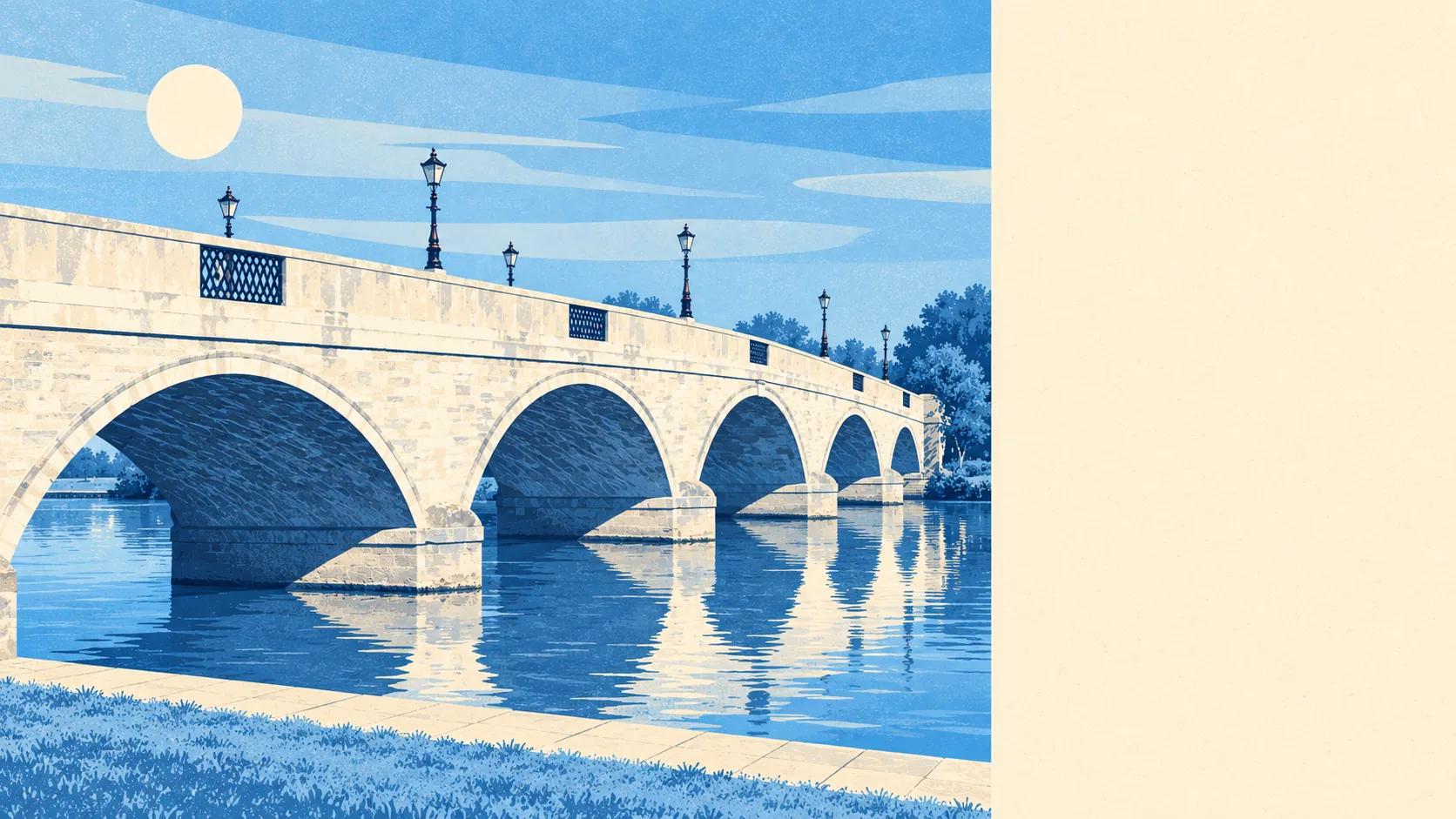
The area around Chertsey is river, meadow and wooded hill, with green belt holding the neighbours at arm's length. A park is a couple of minutes' walk from the typical home. Water is closer still. The National Cycle Network passes nearly every door. Chertsey is the plain picture in a very good frame.
Homes in Chertsey are on average about 190 metres from the nearest public green space, and about 20 green spaces are within a kilometre. The biggest is St Ann's Hill, wooded, inhabited on its lower slopes and the high ground of the area, with the Dingle beside it on the register of historic parks and gardens. Surveyors once used its summit as a station for measuring the distance between Greenwich and Paris, which remains the most ambitious thing anyone has done from a Chertsey bench.
Water is even nearer. The average home is about 150 metres from the nearest river, lake or pond, and about 78 pieces of water are within a kilometre, counting the Thames, the Bourne, the old reservoirs and the gravel lakes. Across Chertsey Bridge is the Thames Path National Trail and Chertsey Lock, with Chertsey Meads, the Burway and the islands around Penton Hook upstream. Laleham Park faces the Burway from the other bank, so a riverside walk here comes with a view of somebody else's park as well as your own.
The National Cycle Network is on average about 230 metres from home, and about 93% of Chertsey's postcodes are close to it. There is no ancient woodland in the area.
The town centre is a working one. The rated-premises register for Chertsey counts 254 shops, 23 pubs and 26 restaurants, with 282 offices outnumbering the shops. That office count is what happens when a town of narrow Georgian frontages also takes in a European headquarters and a catering giant.
Fine-particle air pollution across Runnymede averaged about 7.6 micrograms per cubic metre in 2024, a borough-wide figure.
The character changes quickly with direction. North is the river and, on the boundary, Thorpe Park, with its buses from Staines and Chertsey. South and west are Lyne, Longcross and the farmland running out towards Ottershaw and Virginia Water, with Hardwick Court Farm cut off from the town by the motorway. The old centre between them still has St Peter's church, the bronze of Blanche Heriot by the bridge and a free museum on Windsor Street with a costume collection of national importance. In the 19th century the water of St Ann's Well was said to cure diseases of the eye, and the view from the hill still does a fair job.
Private gardens add plenty on top of the public space. Chertsey has about 110,000 square metres of garden for every 1,000 residents, a decent amount of outdoor space for a town where nearly a third of homes are flats.
Of 481 non-domestic premises on the valuation list for Chertsey, the two biggest groups are offices, at 104, and shops, at 91. These are premises on the rating list, which counts buildings rated for business use, so an empty unit counts the same as a busy one.
Eating out is a safe bet on hygiene. About 81% of Chertsey's 101 rated food premises hold the top score of five, and about 1% are at the bottom of the scale.
No area of outstanding natural beauty, site of special scientific interest or ancient woodland overlaps Chertsey. The protection here comes from the green belt that separates the town from every neighbour, which keeps the fields in place without anyone having to call them special.
The surroundings are one of Chertsey's real strengths: river, hill and open country within a short walk of almost every home, kept that way by the green belt.