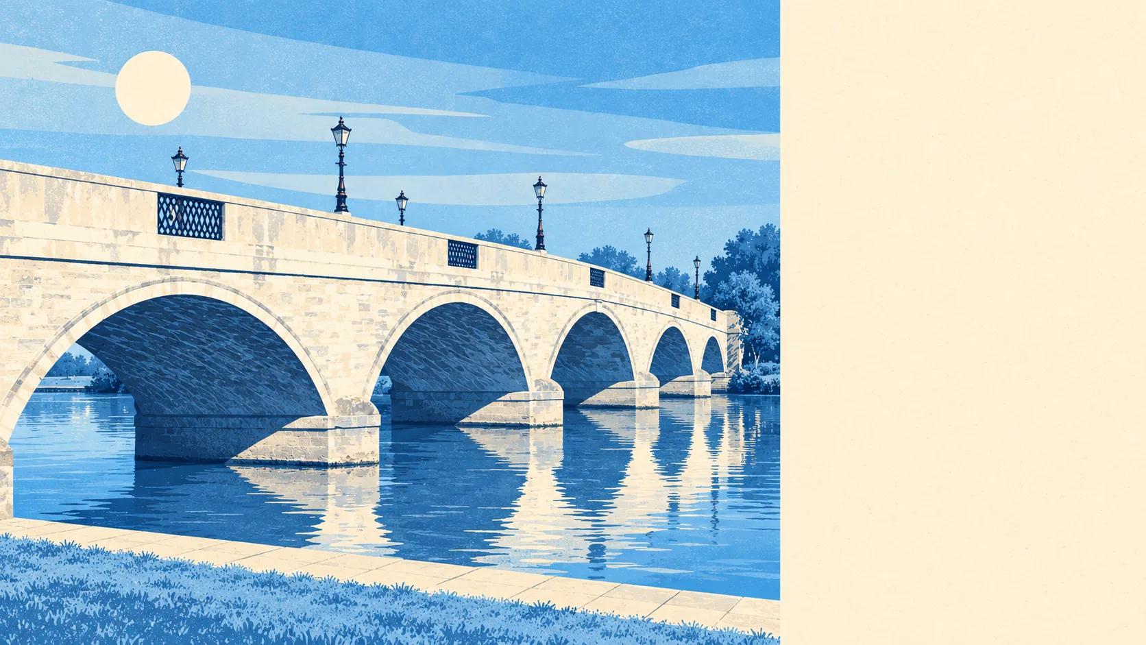
Yes, Chertsey has a real flood risk, and it covers a lot of the town. About a quarter of its postcodes are in the highest river flood zone. Close to a thousand properties carry a high rating for flooding from rivers. Allow for climate change and the flood zones reach more than half the town. Two rivers made Chertsey, and neither has signed anything handing it over.
In the Environment Agency's river-and-sea flood zones, about 26% of Chertsey's postcodes are in zone 3, the highest-probability band, and a further 18% are in zone 2, the medium-probability fringe beyond it. The town centre is on a floodplain terrace between the River Thames to the north and the Bourne to the south, so the water has two directions to arrive from. The meadows along the Burway above Chertsey Lock are described as former flood meadow, and the river has never been told about the "former".
Surface water is the other half of the problem. The ground is river gravel with a naturally high water table, which leaves rain fewer places to go. The Environment Agency holds 191 recorded flood events for the area, and the latest on its list, from February 2014, is logged as sewer flooding. About a quarter of Chertsey's postcodes have a flood history on record.
The Environment Agency's climate-change allowance pushes the flood zones out to cover about 54% of postcodes. That is the modelled shape of the river with future rainfall built in, the figure planners use when deciding where new homes should go.
For insurance, a home in zone 3 is likely to cost more to cover and may come with a higher excess or tighter terms, and a recorded flood claim follows the property from owner to owner. Ask the seller in writing whether the home has ever flooded or had a flood claim, and get a buildings insurance quote on the exact address while the survey is still being arranged.
Counting postcodes that rate on at least one flood measure, surface water included, about 20% of Chertsey's come out high, 38% medium and 39% low. These bands overlap with the river zones above, since a postcode can be in zone 3 and carry a surface-water rating too, so the two sets of figures describe the same streets from different angles and cannot be added together.
Counting homes is more useful than counting postcodes. The Environment Agency's rivers-and-sea mapping lists 5,354 properties across the 214 Chertsey postcodes that carry any risk at all: 973 at high risk, 1,694 at medium, 1,183 at low and 21 at very low. Of the high-risk properties, 874 are homes. Postcodes with no river risk do not appear in the count at all, so every one of those numbers comes from the part of town that floods.
About 27% of Chertsey's postcodes are inside the high-risk extent with flood defences left out of the model, and the share is the same with them put in. "Defended" means a defence is present in the Environment Agency's model, and here it does not shrink the high-risk area by a single point. A buyer told the house is protected should ask by what, and to what height.
The nearest tide gauge is Portsmouth, which recorded sea level rising by about 2 millimetres a year between 1962 and 2023. That is the measured rate on the coast at that gauge. Chertsey's water comes down the Thames and the Bourne, and the sea is a long way off.
Flood risk is Chertsey's weak spot, and a serious one: a large part of the town is exposed, and each address has to be checked on its own.