Chelmsford is well wired, well served and a little less well behaved than the district around it. Nine homes in ten can get gigabit broadband. The average bus stop sees about twenty buses in the peak hour. Recorded crime runs about a sixth higher than across the rest of the council area. Getting in and out is the easy part.
The connections come first. About 93% of premises in the city can get gigabit broadband and 99% can get superfast, and mobile data coverage from every operator reaches 99%. The buses run often. There are 508 stops, with an average of 340 weekday departures per stop, around 21 an hour at the peak, and 94% of stops have a weekend service. Chelmsford station and the newer Beaulieu Park station put London within commuting reach, although at the 2021 census just 4% of working residents went to work by train, 40% drove and 39% worked from home. The railway reached Chelmsford in 1842. The second station opened in 2025, and it took a housing estate at Beaulieu to get it.
Safety is where Chelmsford gives some of that back. Recorded crime published on the national police website comes to about 97 per 1,000 residents in the year to May 2026, roughly 16% above the Chelmsford council-area average of 84. The mix leans one way. Violence and sexual offences make up 43% of the total against 35% across England and Wales, though that category is a broad legal grouping that includes common assault where nobody was hurt. Shoplifting is 11% against 8% nationally, and antisocial behaviour is 9% against 16%. A county town with its own John Lewis gets the shoplifting to match.
Sale prices are steady. The Land Registry's sales in the year to the end of May 2026 had a median of about £380,000, and the official house price index had prices up by less than 1% on the year. Flats went for about £222,000, terraces £365,000, semis £434,000 and detached houses £565,000. Council tax is mostly Band C, with 20% of homes in Bands A and B, which is about as county town as a tax band gets.
Renting is a different story. The Office for National Statistics puts the typical private rent across the Chelmsford council area at about £1,440 a month as of April 2026, up 7% on the year. Landlords have noticed the station too.
Most of the housing is post-war, and the stock spreads across every type. On the council-tax list 26% of homes are flats, 25% semis, 24% terraces, 19% detached and 6% bungalows, and only 12% were built before 1930. Energy certificates put 60% of rated homes in bands A to C, 32% in D and 9% in E or worse. Mains gas heats 76% of homes, and 12% rely on electric heating alone. In 1888 Colonel Crompton lit the town centre with electric street lights, and the council took them out because its own gasworks was cheaper. The gas boiler has been winning that argument here ever since.
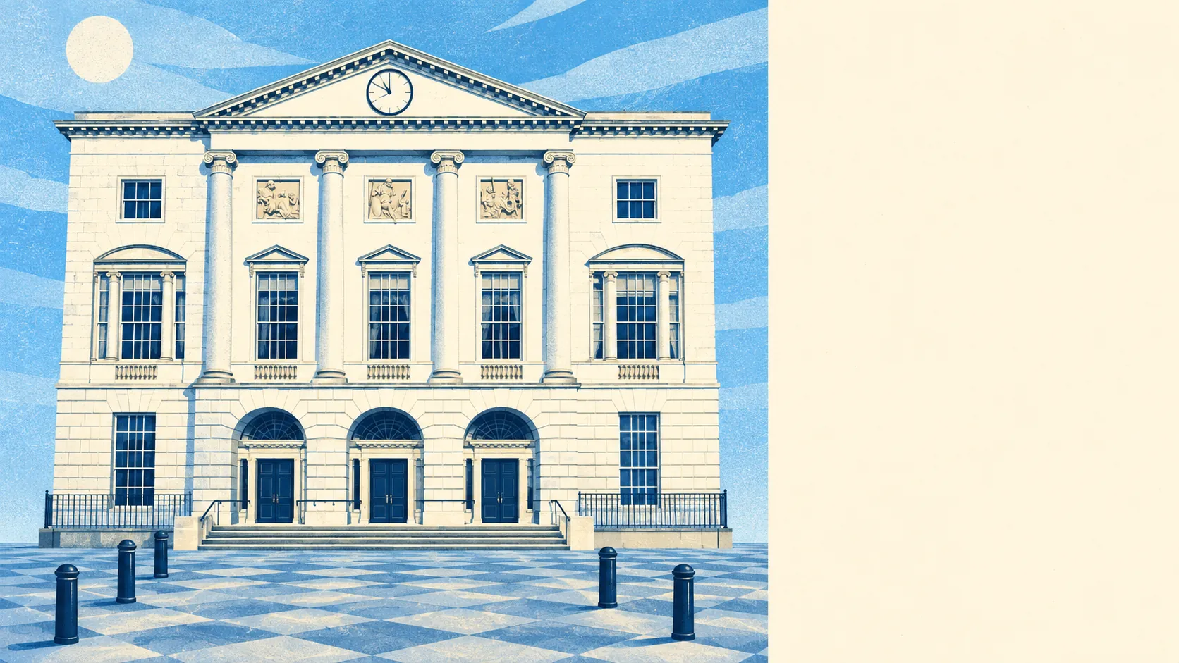
There are 297 listed buildings in the area, four of them Grade I, 15 Grade II* and 278 Grade II, the Cathedral Church of St Mary the Virgin and Shire Hall among them. There are also 12 conservation areas, including Chelmsford Central, Moulsham Street, the West End and Baddow Road and River Can. A listed house, or one inside those boundaries, needs permission for replacement windows, many extensions and some demolition. Everyone in a 1970s semi can fit new plastic windows without asking anybody.
Two-thirds of households, 66%, own their home, and the median resident is 39. Household income averaged about £69,000 before tax in the financial year to March 2023, a modelled Office for National Statistics estimate for neighbourhood areas. This is a city of people with mortgages, a car seat and an opinion on the A12, a road known for congestion and potholes that they chose to live beside anyway.
Flood risk is limited but uneven. Counting postcodes, 13% of the city's carry a high risk on at least one flood indicator, surface water included, and 20% a medium one. The Environment Agency's river-and-sea flood zones are narrower, with 4% of the city in Zone 3 and 3% in Zone 2. The name comes from Ceolmaer's ford, and the Chelmer and the Can still remind a few streets what a ford is for.
Schools test well. The 31 primary schools in the city's postcode districts average 106 in Key Stage 2 maths, and the ten secondaries average an Attainment 8 score of 56. The secondary list runs from King Edward VI Grammar School and Chelmsford County High School for Girls to comprehensives such as Moulsham High School, Great Baddow High School and The Boswells School. Families moving in learn the difference between a selective entry test and a catchment map faster than they learn the one-way system.
Green space is close almost everywhere. The average home is about 150 metres from green space and about 390 metres from water, whether that is the River Can or the Chelmer and Blackwater Navigation. Hylands Park used to host the V Festival, and these days the loudest thing in it is a dog walker's whistle. This page also covers Little Waltham and Roxwell, where the countryside starts at the end of the garden.
Chelmsford is right for anyone whose life runs on the A12, a fast broadband line or the train to Liverpool Street, and who wants a city big enough for a John Lewis and small enough to reach the centre in about 13 minutes by car on the Department for Transport's 2019 modelled times. Buyers for whom a low crime count matters most should look at the villages on the edge.
Chelmsford earns its above-average place through its connections, and its crime figures are the price of living in a busy county town. Take it if you commute or work online and can live with a lively high street. If a low crime figure is the first thing you check, keep looking.