Chatham is greener than its reputation, and nobody believes it. The average home has around twenty green spaces within a kilometre. There's chalk grassland on the ridges and a river at the foot of the hill. The town centre gets the bad reviews, and the valleys around it get the dog walkers.
The average home is about 200 metres from the nearest public green space, with around 20 green spaces within a kilometre. For a dense, working town that's an unusual amount of room to breathe. Most of it comes from the land the military left alone. The Great Lines ridge between Chatham and Gillingham was kept open for defence, and the town inherited a park it never had to pay for.
Water is further away than the dockyard history suggests. The average home is about 1.3 kilometres from blue space, with around 8 water features within a kilometre. The Medway is the big one, with the marina at St Mary's Island and yacht moorings along the river. From the hillside suburbs the river is something you drive down to, not something you open the curtains onto.
The National Cycle Network is on average about 1.2 kilometres from home, and about 21% of postcodes sit close to it. That route is there for anyone who wants it, but the hills do a good job of putting people off.
On the ownership and premises records, the area counts 1,171 shops, 67 pubs, 125 restaurants and 685 offices. Chatham town centre is a shopping town in the old sense: plenty of shops, a modest number of pubs, and restaurants in a supporting role.
For fine particles in the air, the Medway council area averaged about 8 micrograms per cubic metre in 2024. That's a council-wide figure, not a reading for any particular street.
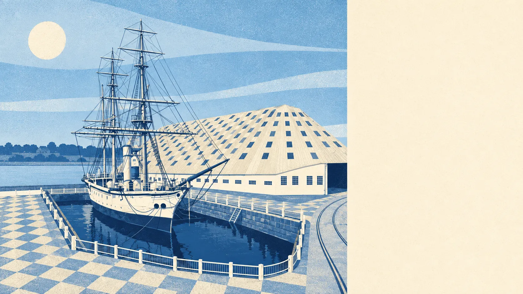
Its character comes from three layers stacked on top of each other. At the bottom sit the river and the Chatham Historic Dockyard. Around them are the Victorian terraces of the Luton valley and the town centre. Up top are the chalk slopes and newer suburbs such as Walderslade and Lordswood. The Darland Banks, on the northern slopes above the Luton Valley, are unimproved chalk grassland, and the Capstone Valley runs out beyond them. Forts like Fort Pitt and Fort Luton sit along the slopes where the military once expected an invasion. The invasion never came, and the forts ended up as good places to walk a dog.
Private gardens are more generous than the terraces suggest, at about 70,700 square metres of garden per 1,000 residents across all 58 neighbourhood areas. The back yards in the old centre are tight, the suburban plots up the hill make up for them, and the average sits between the two.
The business-rates valuation list, which counts premises differently from the ownership records, holds 1,716 rateable premises in the area. The biggest groups are shops, at 495, and offices, at 382. These are premises on the list, not a count of businesses currently trading, and a shop on the list may be empty.
Of the 363 food premises with a hygiene rating, about 70% hold the top score of five and about 3% sit at the bottom end. The odds of a decent takeaway are good. The odds of a regrettable one are low, though not zero.
No protected landscape overlaps the area: no area of outstanding natural beauty, no site of special scientific interest and no ancient woodland. Chatham's green space is working land, meaning parks, ridges and old defences, not nature reserves. That makes it easier to use and harder to put on a postcard.
The surroundings are one of Chatham's real strengths. It's a town where the countryside starts at the end of the street and the river is at the bottom of the hill.