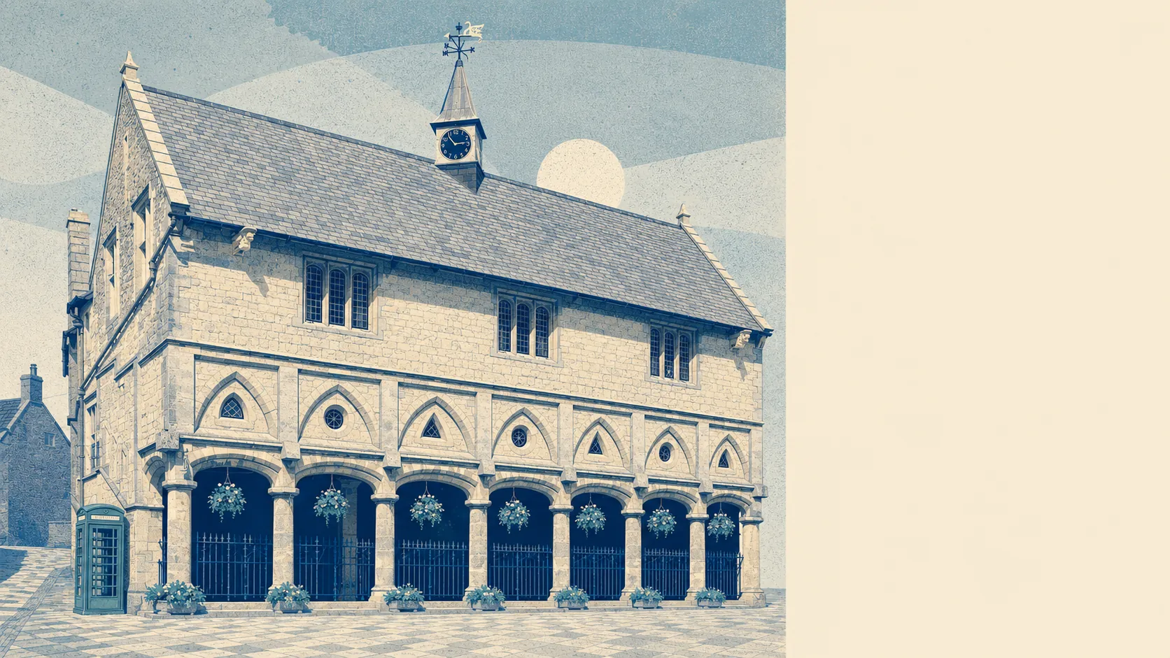
Castle Cary sits on the River Cary and still comes out as one of the drier answers on this page. The river-and-sea flood zones here are close to empty. Nothing in the area carries a recorded flood history. What risk exists comes mostly from rain arriving faster than the ground will take it. This is a surface-water question dressed up as a river one.
Start with the Environment Agency's flood zones, which map what rivers and the sea do. Around 2% of the area's postcodes fall inside flood zone 2, and effectively none fall inside flood zone 3. Those are separate bands rather than one nested inside the other. Zone 3 is the higher-probability core, zone 2 is the medium-probability fringe sitting beyond it, so a small zone 2 next to an empty zone 3 is a quiet map rather than a rounding trick.
Neither zone maps surface water, which is the gap most buyers walk straight past. The zones describe rivers and the sea. They say nothing about water coming off a hillside, hitting a road and finding the lowest doorway on the street, which in a town at the foot of Lodge Hill is the version worth thinking about. Surface water only shows up in the combined postcode indicators, and those run considerably higher than the zones do.
Adding the Environment Agency's climate allowance barely moves the map. The climate-adjusted zone covers around 2% of postcodes, which is roughly where the current zone 2 already sits. Whatever the next few decades do to this town, the modelling does not expect the river to be the thing that does it.
For insurance, that means most homes here should be unremarkable to cover. The small number of addresses inside a mapped zone are a different conversation, and the sensible move is an indicative quote on the specific address before instructing a solicitor rather than after, because a premium loading is easier to price into an offer than to discover at exchange.
The combined postcode indicators are where the honest number lives. Around 12% of postcodes rate high on at least one flood measure, around 12% rate medium on at least one, and around 26% rate low on at least one. That set folds surface water in alongside rivers and the sea, so it overlaps with the zone figures rather than adding to them. Two measures of different things, not one number and its correction.
Counted as homes rather than postcodes, the numbers get small enough to be useful. The Environment Agency's rivers-and-sea mapping covers 167 properties across the eight postcodes here that carry any risk at all, and the rest of the town does not appear in that mapping because there is nothing to record. Of those 167, two sit at high risk, six at medium, 14 at low and 10 at very low, with a single residential property in the high band. That is a specific, findable handful of houses rather than a general condition of the town.
On whether anything stands between the water and the house, the answer is that the question barely arises. No postcodes sit inside a high-risk modelled extent, defended or undefended, and around 2% sit inside a low-risk undefended extent. Worth knowing that "defended" in this mapping means a defence exists in the model, not that a property behind it is safe. Defences have a design standard, and water occasionally reads it as a suggestion.
Sea level is close to irrelevant for a town this far inland, but the nearest long-record tide gauge is at Portsmouth, where the measured rise across the 1962 to 2023 record runs at about 2 millimetres a year. That is a historic rate over six decades of readings, not a forecast, and it matters here only as context for the coastal towns this one is often compared with.
There is no recorded flooding in the area at all. That is genuinely reassuring, and it is also a record rather than a guarantee, since a flood nobody recorded and a flood that never happened look identical from this distance.
Flood risk here is middling, which in practice means the town as a whole is fine and the exceptions are specific enough to name. Get the address checked rather than the postcode, and the answer will almost always be the boring one.