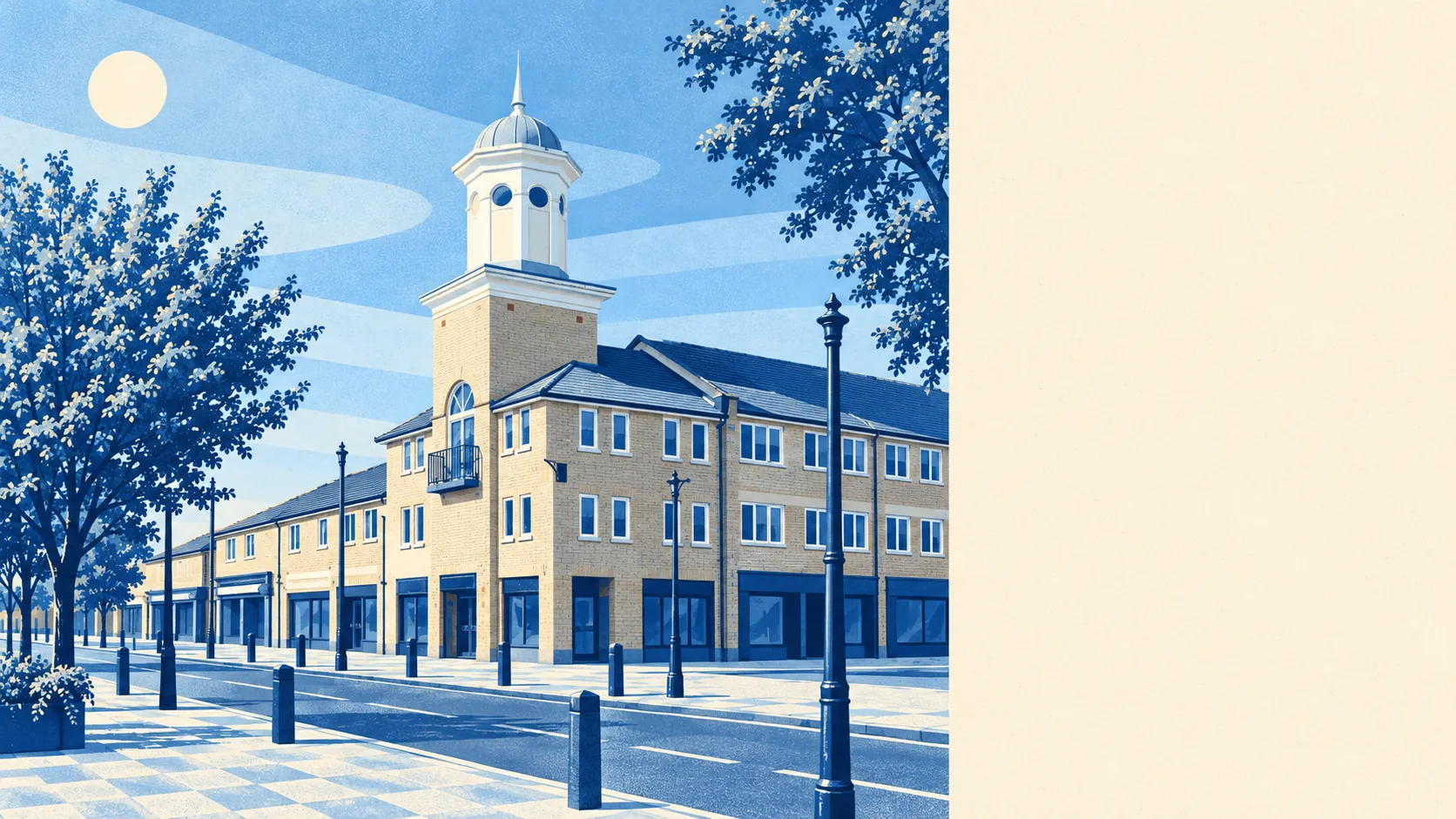
Carterton is green, flat and well supplied with open space. Most front doors are a short walk from a park or playing field. Water is close too. The countryside around it is working farmland with old stone villages, and the town itself is new by comparison. Hardly any of it carries a landscape designation, which makes it a pleasant place to live without much for visitors.
Open space is never far off. Homes in Carterton are on average about 150 metres from the nearest public green space, and about 21 green spaces lie within a kilometre. The town was planned in big phases, and the planners kept putting playing fields and amenity grass between the estates.
Water is close by as well. The nearest blue space, a river, stream, pond or lake, is about 640 metres from the average home, with about 6 within a kilometre. A town founded for market gardening, which needs water, ended up with plenty of it in walking distance.
Longer cycle routes are further away. The National Cycle Network is about 3.9 kilometres from the average home, and no postcode in the town counts as close to it. Cyclists start their rides on the lanes between the villages.
The ratings register counts 139 shops, 22 pubs and only 2 restaurants in the area. Drinking is well catered for and eating out much less so: Carterton has a lot more pubs than proper restaurants.
West Oxfordshire's fine-particle air pollution was about 6.4 micrograms per cubic metre in 2024, a district-wide average, not a reading for any one street.
The setting is better than the town's post-war estates suggest. Around Carterton are Black Bourton, Brize Norton, Bradwell, Curbridge, Lew and Shilton, and Alvescot, Bampton, Kencot, Langford and Minster Lovell all have conservation areas. The ruins of Minster Lovell Hall are a scheduled monument. So are an Anglo-Saxon burial mound at Asthall, the village cross at Lew, a Roman villa and bath house, and an Iron Age settlement south-west of Black Bourton. Carterton arrived in the early 1900s next to all of that, so it is easily the newest place in the neighbourhood.
Private gardens here are generous. Carterton has about 97,000 square metres of garden for every 1,000 residents, and it shows on the ground: semis and bungalows with real back gardens, more typical of a mid-century town that had land to spare than of a modern estate.
The valuation list for business rates records 266 premises in the area. Shops are the biggest group, with 59. The next biggest are 55 industrial premises, 31 warehouses and 24 offices. These are premises on the ratings list, and some may be empty or used differently today. The large number of industrial and storage units reflects what grows up next to a big air base.
Food hygiene is good. Of 68 rated food businesses, about 94% have the top hygiene score and about 2% are rated poorly.
No protected landscape overlaps Carterton. It has no area of outstanding natural beauty, no site of special scientific interest and no ancient woodland. The countryside is farmed, ordinary and close, and a homeowner here deals with no extra landscape rules on top of normal planning.
The surroundings are one of Carterton's real strengths. Parks, water and old villages are close by, and big back gardens are the norm.