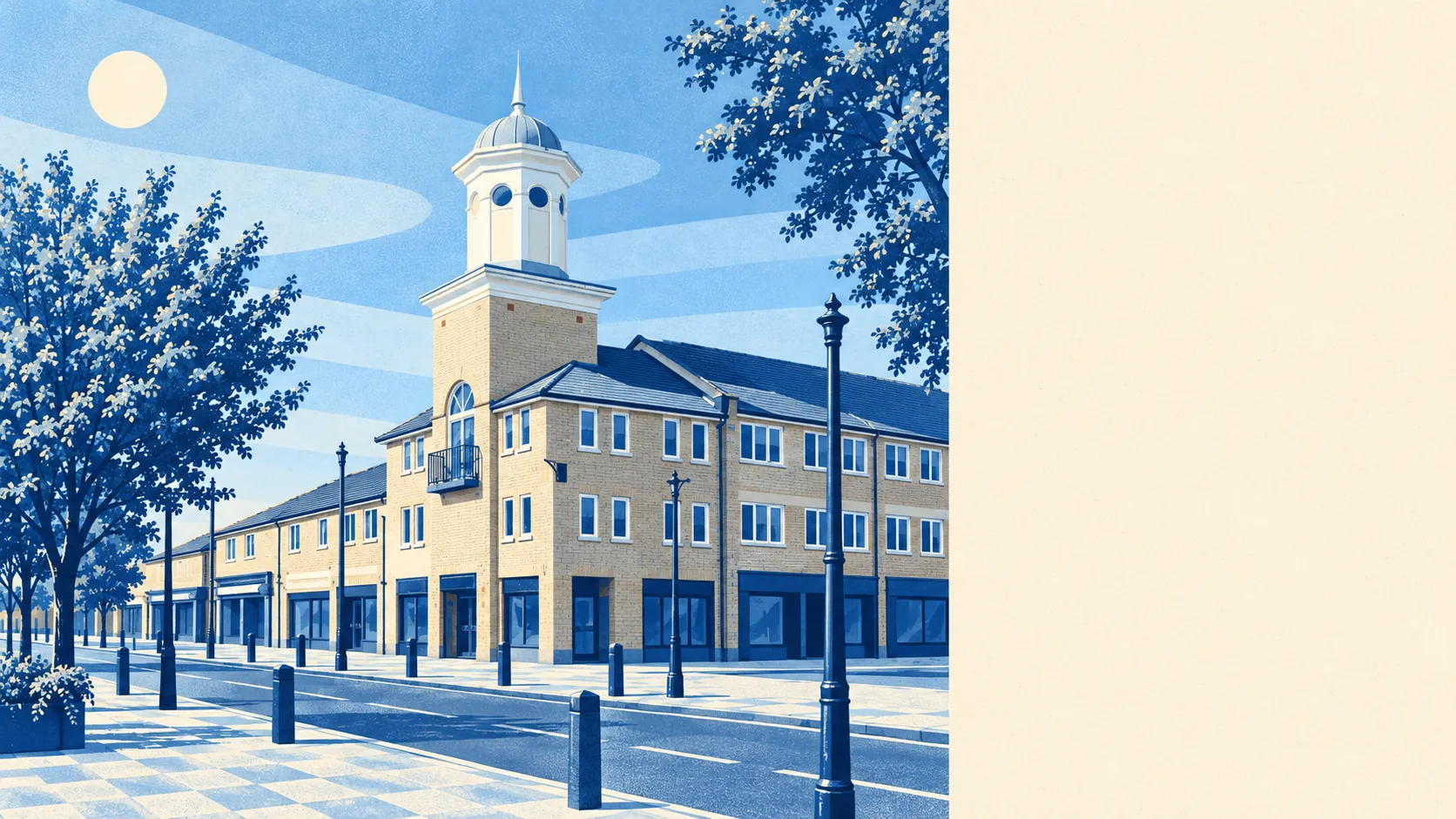
Carterton is a sensible town to buy in if you plan to change the house, because no conservation area covers any of it. Most of the town went up after the war, and very little is old enough for anyone to fight over. Crime runs below the rest of the district. Water is the weak spot, mostly from rain with nowhere to drain. The planners have a lot less to protect here than the rest of west Oxfordshire would have you expect.
The heritage list is short. Historic England records 34 listed buildings in and around the area, 33 of them Grade II and one Grade II*, with none at Grade I and no scheduled monuments inside the boundary. Outside a listed building, a buyer here deals with ordinary planning rules and the neighbours, and there is no conservation officer weighing up the window frames. Shilton, the village this page also covers, is different: it is a conservation area, so the same extension that goes through quickly in town can get a much harder look there. Carterton itself was a colony of smallholders before it was a town, and by 2004 several of the early settlers' houses had been demolished or left semiderelict, which caused a row locally. The building that dominates the central crossroads is a domed tower put up in 1996, and that tells you how long the town's idea of history is.
On price, the Land Registry's last twelve months to May 2026 show 181 sales at a median of about £325,000. The type of house is what moves the price. Detached houses went for a median of about £475,000, semis about £332,000, terraces about £305,000 and flats about £180,000. A semi costs barely more than a terrace, so here the second party wall saves you very little. Band C is the most common council-tax band, and about 26% of homes are in bands A or B, so the bills are pitched at modest family houses.
West Oxfordshire's typical private rent was about £1,270 a month in April 2026. That is a district-wide average from the Office for National Statistics index, so it says nothing about any particular Carterton street. The town sits beside the Royal Air Force's main transport base, which has driven its growth since the 1930s, so a fair share of residents arrive knowing roughly when they will leave. Renting follows from that.
The council-tax valuation list covers every dwelling, and it shows terraces as the biggest group at about 29%, then semis at 24%, detached houses at 21%, and flats and bungalows at about 12% each. Only about 4% was built before 1930, while about 18% went up between 2000 and 2008 during the big push on the eastern edge. Energy certificates put about 79% of rated homes in bands A to C, which is what you would expect from stock this young. About 76% of homes heat with mains gas and about 11% with electricity alone, so check which you are getting before you book a viewing. The estates built in the north-east in the 1970s were mostly uniform with concrete exteriors. Nobody is going to stop you re-cladding one, and plenty of owners clearly have.
The people are younger and more settled than the base might suggest. About 59% of households own their home, and the median age is 36. The Office for National Statistics models median gross household income at about £66,600 for the financial year to March 2023, averaged across the area. Carterton earns a middle-England living and spends a fair share of it on loft conversions.
Flooding is where you need to look harder. Across Carterton's postcodes, about 8% are high risk on at least one flood indicator, surface water included, about 14% are medium and about 32% are low. The Environment Agency's river-and-sea flood zones are a different measure, and they show no postcodes in Zone 2 or Zone 3, with no recorded historic flooding. So the risk here is rain on clay with too few places to go. A brochure that only quotes the river maps is answering a question Carterton rarely asks.
Police recorded about 46 crimes per 1,000 residents in Carterton in the year to May 2026, about 14% below the West Oxfordshire average. Thames Valley Police covers the town. For a place built around a military base and a ring road, that is a calm result.
Getting about mostly means driving. The 2021 Census found about 56% of workers driving to work, about 24% working from home, about 2% taking the bus, and almost nobody going by train. The main road through Carterton was once one of the busiest in the country, carrying packhorse trains of Cotswold wool over Radcot Bridge, and nothing on rails has replaced them. The Department for Transport's 2019 modelling puts the nearest town centre about 17 minutes away by car and about 30 by public transport, and a hospital about 42 minutes by car. The 95 bus stops average about 53 weekday departures each, and about 97% have a weekend service. Broadband is a strength: superfast is available everywhere and gigabit to about 93% of premises, which helps the quarter who work from home.
The green space is close. On average the nearest public green space is about 150 metres from a front door, with about 21 within a kilometre, and the nearest water is about 640 metres away. The town grew on flat farmland, and the fields still start where the cul-de-sacs end.
Carterton is right for families who want a newer house they can extend without a fight, for forces households who need something sorted quickly, and for anyone who works from home and drives the rest of the time. Anyone who wants honey-coloured stone, a train to work, or a hospital nearby should buy in the villages around it or further afield, and accept the planning rules that come with them.
In Carterton, the house you buy is close to a blank sheet. The rear extension, the garage conversion and the new cladding are mostly between you, the ordinary planning rules and the people next door. Check the drains with the same energy you put into the plans, because rainwater is the one thing here that refuses to follow the layout. Carterton is a better-than-average place to live for anyone who sees a house as a starting point.