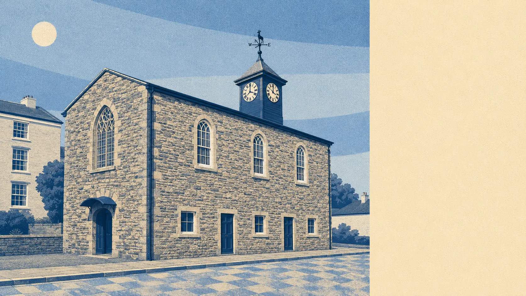
Camelford is a good place to live if you want Cornwall without the audience. The coach money goes to Tintagel and Boscastle. Camelford keeps the food shop, the doctor and the secondary school. Seven in ten own their homes. The median resident is fifty. Nearly a third work from home. Quiet, owned and middle-aged, and none of that happened by accident.
The housing stock explains most of what follows. On the council tax valuation list, which covers every dwelling rather than only the ones certificated since 2008, about 34% are detached and about 29% are bungalows. Terraces and semis take about 14% each. Flats come to about 6%, which in practice means the starter flat is not a thing here, and the bottom rung of the ladder is a small terrace or nothing. Nearly two in five homes on that list predate 1930. Heating is where the countryside bites: about 5% of households are on mains gas, so the gas main is essentially a rumour, and about 20% run on electricity alone with about 4% having no central heating at all. Across the 1,516 properties with an energy certificate, about 32% sit at band C or better, about 32% at band D, and about 37% at band E or worse. An electrically heated stone cottage at band F is a lovely thing to view in June.
The Land Registry's last twelve months, to early May 2026, records 42 sales across the Camelford area at a median of £265,000. The spread matters more than the median. Detached homes ran to a median of £445,000 over twenty sales, semis to £224,500, terraces to £178,000, and the four flats that changed hands came in at £95,500. On the house price index the area average sat at about £280,000 in May 2026, up about 4% over the year and about 11% across five years. Council tax bands cluster low: the most common band is C, about 37% of dwellings sit in bands A or B, and a band D bill runs about £2,590 a year.
Renting is harder to pin down, because the published rent figure is a county one rather than a town one. Typical private rent across the Cornwall area was about £1,000 a month as of April 2026, up about 5% on the year, with a two-bedroom averaging about £880 and a three-bedroom about £1,080 on the same county measure. Treat those as Cornwall's shape rather than Camelford's own, since about 17% of households here rent privately and there is not much of a local market to average.
Safety is the strongest thing this page has to say about the area. The published crime rate is about 46 crimes per 1,000 residents over the twelve months to May 2026, running roughly 38% below the Cornwall average of about 74 per 1,000. One caveat belongs to the force rather than the town: Devon & Cornwall Police charged or summonsed in about 8% of cases over the same period against about 12% nationally, and recorded no identified suspect in about 26%, which ranks the force 42nd out of 42. Low crime, then, and a low chance of anyone answering for the crime there is.
There is no railway station, and it shows. Train commuting runs at a tenth of one percent, which is a rounding error with a timetable. About 57% drive to work, about 30% work from home, about 7% walk, and under 1% take a bus. About 51% of households run two or more cars and about 10% have none, which is the honest version of "well connected". The bus network is 77 stops averaging about eight scheduled weekday departures each, with weekend service at about 81% of them, and about 0.6 buses per stop in the peak hour. Department for Transport modelling puts a town centre at about 29 minutes by car or 38 by public transport, a doctor about 10 minutes by car, and a hospital about 71 minutes by car or 102 by public transport. Those models date from 2019, and the public transport numbers age faster than the driving ones. Broadband is the pleasant surprise: about 82% of premises can get gigabit, about 88% superfast, and about 1% fall below the universal service minimum. Mobile signal from at least one network reaches almost every premises, with all operators covering about 95%. There are nine electric vehicle charge points in the area, one of them rapid.
Flood risk splits across two measures that mean different things. On the postcode indicators, which include surface water, about 8% of postcodes carry a high rating on at least one measure and about a third carry a low one. On the Environment Agency's river-and-sea flood zones, under 1% of the area sits in zone 3 and about 1% in zone 2, rising to about 2% once the climate-change allowance is applied. No historic flood extent is recorded. The risk that turns up here is surface water rather than the river, which is worth knowing before falling for a house at the bottom of a slope. Green space averages about 680 metres away with about five within a kilometre, and water is closer still at about 360 metres with about fifteen. The one to raise with a surveyor is radon, where every postcode sits in the higher bands and the maximum recorded band is the highest there is.
Heritage is the constraint nobody mentions at the viewing. The area carries 291 listed buildings, three at Grade I, fifteen at Grade II star and 273 at Grade II, along with 84 scheduled monuments and two conservation areas covering Camelford and Boscastle. Monuments run from King Arthur's Hall to the Stannon Stone Circle, and the older churches are listed almost as a matter of course. If your house is listed, the windows, the render and the back extension all become somebody else's decision, and consent is required before the scaffolding goes up rather than after. Inside a conservation area the rules are lighter but the same principle applies: what you can do to the front of your house is a matter of public interest.
About 69% of households own, outright or with a mortgage. The median age is fifty. Household income ran about £43,000 gross in the financial year to March 2023, about £35,000 after tax. Single-person households make up about 26% and single pensioners about 14%, with couples with children at about 16%. Deprivation sits around the fourth decile nationally and has not moved since 2019. There are 98 holiday lets on the rating list against 35 shops and five pubs, which tells you exactly what the spare housing does in August. Of 34 rated food premises, about 88% hold five stars and none sit at the bottom of the scale. The page covers the wider area rather than the town alone, so Advent, Davidstow and Otterham are in the same picture.
It suits people who work from home or work locally, want space and a garden more than a train, and can afford a detached house or are content with a terrace. It suits anyone trading a suburban semi for room, and anyone who wants low crime without paying coastal-postcode money.
It does not suit anyone commuting to a city by rail, anyone who needs a hospital within half an hour, or anyone whose heart is set on rescuing a listed cottage without reading the consent regime first. The energy certificates and the missing gas main are a running cost, not a detail.
The area's real strength is how little happens to people here: the crime rate is well under the county's and the reputation of rural Cornwall for isolation is not matched by the broadband. The weak spot is freedom, in the specific sense of what you are allowed to do to your own house, because between the listed buildings, the monuments and the conservation areas, altering a home here means asking permission from people who have seen worse ideas than yours. Buy the bungalow with the boring windows and the oil tank, and spend the difference on the view.