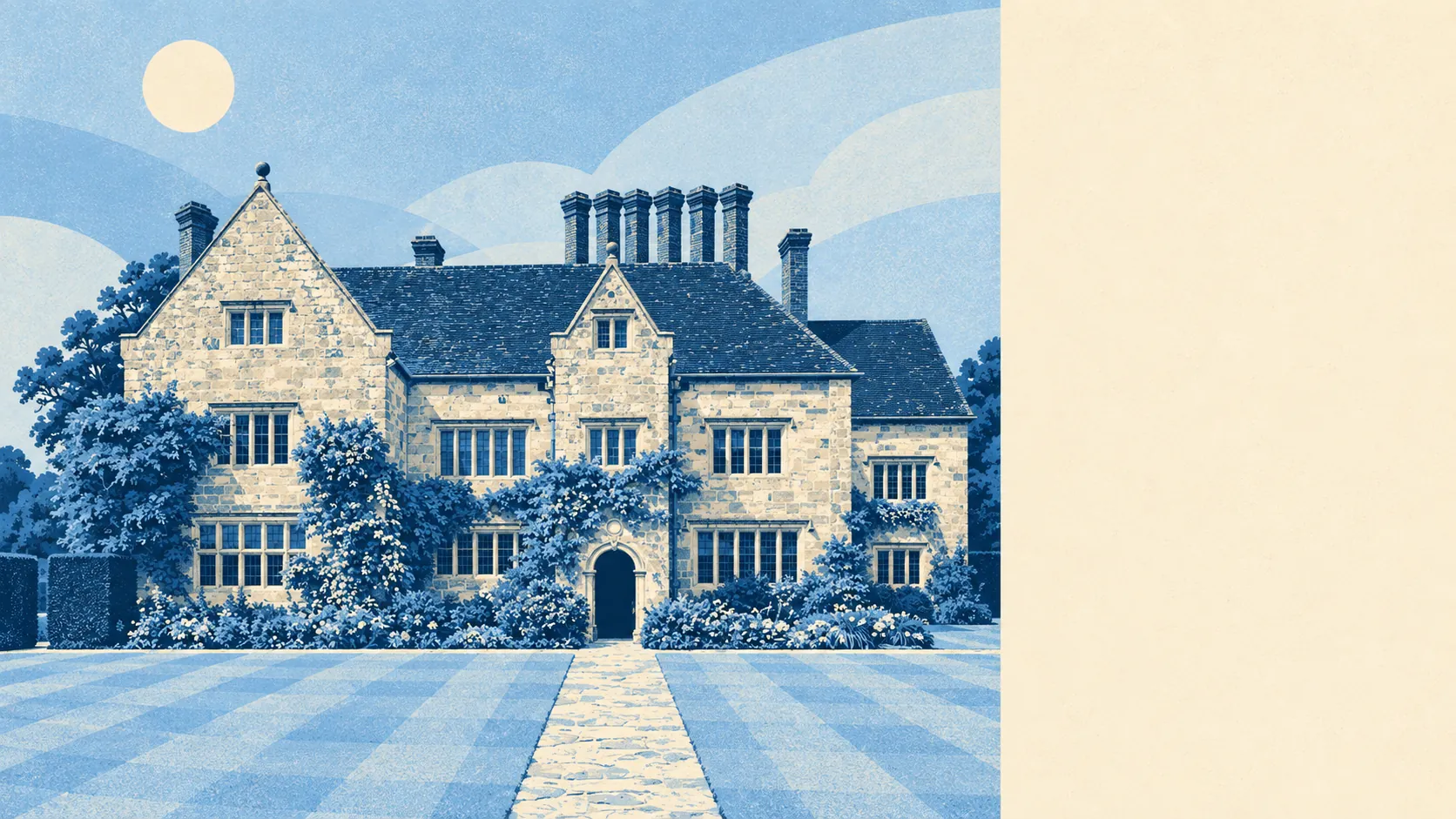
Burwash is countryside with a village parked in it. Every home sits inside protected landscape. Green space starts a short walk from the front door. The village has more holiday lets than restaurants. Burwash comes second to the scenery, and it seems to know it.
Green space is close for almost everyone. The average home is about 188 metres from the nearest green space, with nearly five green spaces within a kilometre. The dog decides the route, and every route comes to fields fairly fast.
Water is close too. The average home is about 309 metres from the nearest blue space, with around 27 pockets of water within a kilometre, from the River Dudwell to the ponds and streams that run through Weald farmland. For a village nowhere near the sea, there's a surprising amount of wet ground to walk past.
Getting out by bike takes more effort. The nearest stretch of the National Cycle Network is on average about 8.7 kilometres away, and no postcode counts as close to it. In practice, cycling here means the lanes, and the hills that come with them.
The village centre is small and pub-heavy. The rated-premises data counts 16 shops, 5 pubs and 1 restaurant, along with 14 offices and 13 holiday lets. Five pubs against one restaurant says plenty about how Burwash prefers to spend an evening. The 13 holiday lets say just as much about who else comes to share the view.
The air is clean. Fine-particle pollution across the Rother council area averaged about 6.5 micrograms per cubic metre in 2024. That's a council-area figure, not a Burwash reading.
The whole village, all of it, sits inside the High Weald Area of Outstanding Natural Beauty. That covers the fields you look at and shapes what can be built in them.
The area around the village is a scatter of named hamlets and hills rather than one settlement: Burwash Common and Burwash Weald to one side, Witherenden Hill, Oxley's Green, Cottenden and Holton Hill further out. Bateman's sits in its own registered gardens on the edge of the village, and Brightling Needle, a listed landmark, stands on the skyline nearby. Taken together, it looks like a parish that grew by clusters around lanes and never quite joined up.
Private gardens are generous. There's about 394,000 square metres of garden for every 1,000 residents here, which reflects how much outdoor space the houses come with. The share of total land that's garden looks small only because farmland dwarfs everything else. These are mostly homes with land round them, not yards.
The valuation list shows 27 rateable premises in the area. That counts buildings assessed for business rates, not businesses trading today, and it's a modest total for a village that functions as the local centre for the hamlets around it. Anything bigger than a village shop means a drive.
Eating out is safe, if limited. All 7 of the rated food premises hold the top food hygiene score, and none sits at the bottom. With so few kitchens to inspect, a perfect record is more achievable than it sounds, but it still counts.
Beyond the Area of Outstanding Natural Beauty, no further designation covers the village. No Site of Special Scientific Interest overlaps it, and no ancient woodland falls within the mapped area. That doesn't mark it down. It means the protection here is about the landscape as a whole, not one rare habitat.
The surrounding area is Burwash's real strength. The protected countryside, water and fields reach almost every doorstep, and the pubs are there for when you've walked enough of them.