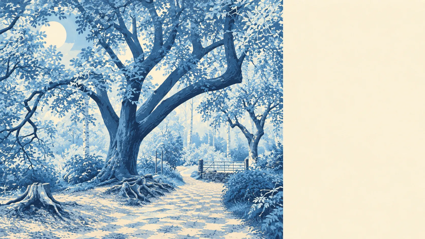
Greener than the estates suggest, and wetter. Nearly every front door has a park within a short stroll. Lakes and streams sit only a little further off. There are more pubs than restaurants. The housing arrived in the countryside, and the countryside never moved out.
Green space is close. The average home sits about 141 metres from its nearest green space, with about 19 green spaces within a kilometre. That's less a park down the road than a place laid out between fields and woods, and a dog owner will never run short of routes.
Water is barely further. The average home is about 315 metres from blue space, and about 16 bodies of water lie within a kilometre. Much of it is the Kennet valley's legacy of gravel extraction: pits flooded into lakes, marsh and willow scrub, one of them now home to a sailing club. Industry dug the holes and leisure moved into them, which is about as good a deal as the parish has done.
Cycling is where it falls short. The National Cycle Network is about 3.2 kilometres away on average, and no postcodes sit close to it. The bike leaves by road, so anyone serious about cycling should plan their first few miles on the local lanes.
The wider surrounding area has 317 shops, 43 pubs and 13 restaurants. The pubs outnumber the restaurants several times over, which tells you where the social life happens, and the food on offer runs more to a pint and a plate than a tasting menu.
The air is cleaner than most. Fine-particle pollution across West Berkshire averaged about 6 micrograms per cubic metre in 2024, a figure for the whole council area rather than any particular street.
Walk out and it gets older quickly. Heathland borders the south, with Scots pine, grassland and footpaths and bridleways through the woods. To the north, the Kennet and Avon Canal runs past Burghfield Lock, Garston Lock and Sheffield Lock, restored largely by volunteers after the railway left it to rot. Grim's Bank, an ancient earthwork, cuts through the woods at Ufton Park, and the Folly Farm garden sits nearby. Two thousand years of people digging ditches here, and the latest ones are for broadband.
Private outdoor space is generous. Across the neighbourhoods here there's about 224,000 square metres of private garden per 1,000 residents. Homes were built with their own green bit, and the lawnmower is standard equipment rather than a lifestyle statement.
Within the place itself, the business rates list holds 43 rateable premises. These are properties on the valuation list, not a count of shops currently trading, and a place this size clearly isn't a destination high street. Commercial life is modest, and people drive for most of it.
Eating out is clean if not plentiful. Of 23 food premises with a hygiene rating, about 87% hold the top score and none sit at the bottom. A small pool, but nobody's fishing anything nasty out of it.
None of the area carries a protected-landscape designation: no area of outstanding natural beauty, no site of special scientific interest, no ancient woodland. That doesn't make the woods any worse. It means they're ordinary Berkshire countryside without an official plaque to prove it, which also means fewer rules on the people who live next to them.
The surroundings are Burghfield Common's real strength: heath, woods, lakes and canal are closer to most front doors than the nearest restaurant. It suits anyone who prefers a muddy footpath to a high street.