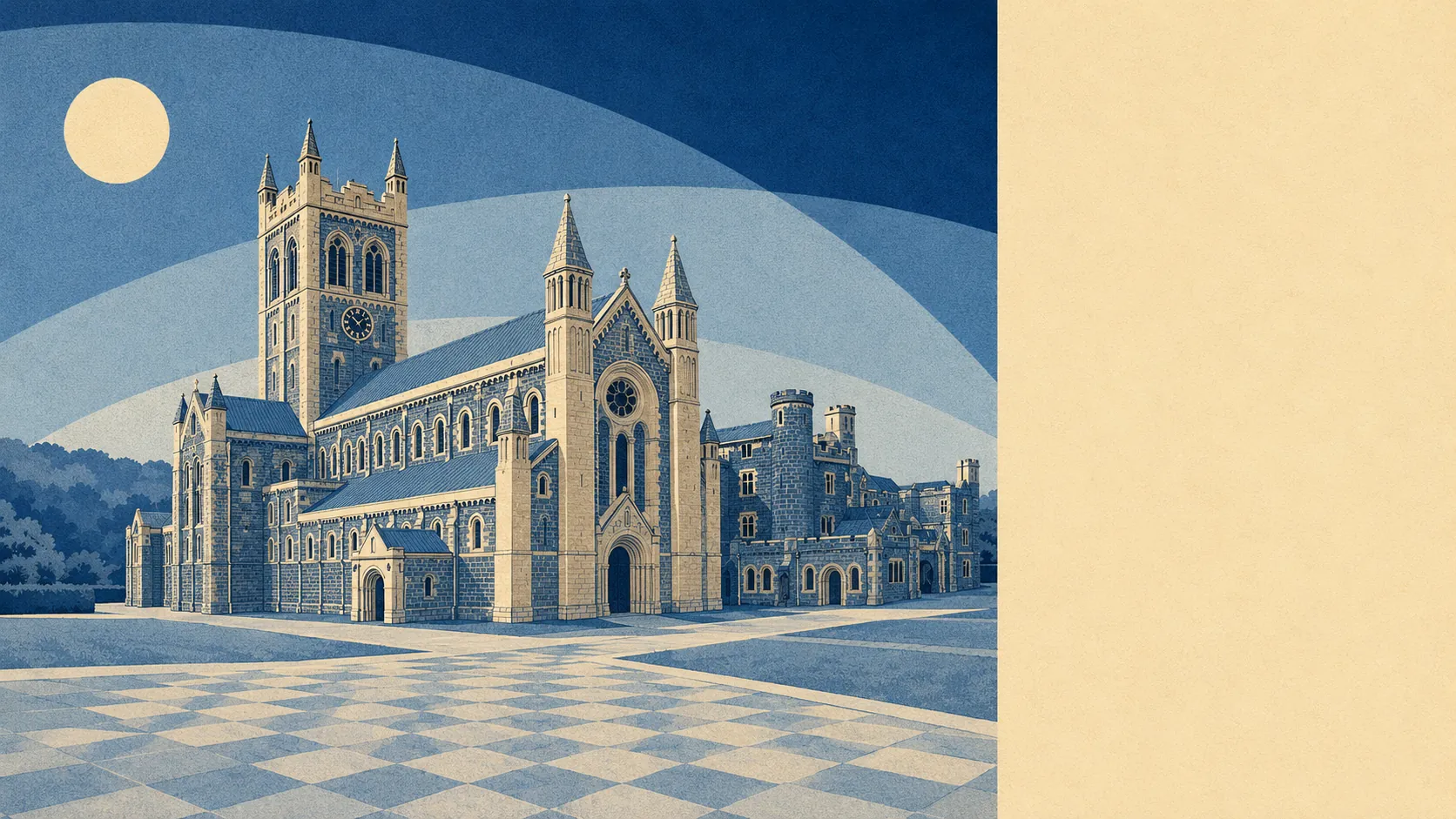
Farmland with a moor bolted to the top of it. Water is closer than the nearest bus stop. Roughly ten green spaces sit within a kilometre of the typical postcode. Villages start almost immediately, and Buckfast, Holne, Scorriton and Dean Prior are all within a short drive of the last streetlight. This is countryside that people put up with a lot of driving in order to live in.
Green space is genuinely on the doorstep rather than technically nearby. The average postcode has about ten green spaces within a kilometre and the nearest of them about 510 metres away, which is a walk measured in minutes rather than a trip requiring a plan.
Water is even closer. Blue space sits about 240 metres from the average postcode, with roughly 26 separate stretches of it within a kilometre. That is what happens in a town built where two moor streams run down to meet the Dart, and it explains why the Mardle and the Dean Burn show up in local conversation more often than any road does.
For getting out into it under your own power, the National Cycle Network runs about 840 metres from the average postcode, and about 61% of postcodes sit close to it. That is unusually good access for a place this rural, and it pairs with a landscape that does not flatter anyone's fitness.
The trading side of the area is modest and honest about it. The valuation list carries 23 shop premises, seven pubs, two restaurant premises and 28 offices. Seven pubs is the number that tells you most: this is a town that kept its social infrastructure while the retail thinned out around it.
Air quality is measured across the council area rather than the town, and Teignbridge recorded fine particle levels of about 5.2 micrograms per cubic metre in 2024.
Character comes from what sits just outside the built-up edge. Dartmoor National Park begins beyond the town rather than inside it, so the moor is a place you go to rather than a place you live in, which suits people who like the view without the planning regime that comes with living under it. Buckfast Abbey sits a mile north. Pennywell Farm is on the edge of town. Hembury Castle and Pridhamsleigh Cavern are close enough to be ordinary weekend destinations rather than expeditions. The valuation list also carries 17 holiday let premises, which is what happens to a town sitting between a moor, an abbey and a main road.
Private outdoor space is the part most descriptions of rural areas skip. Across the four neighbourhoods measured, there is roughly 269,000 square metres of private garden for every 1,000 residents. Houses here have gardens, and gardens rather than yards, which is a meaningful difference from the terraced towns further down the coast.
Eating out is a small field with a clean record. Of the 50 premises carrying a food hygiene rating, about 92% hold the top score and none sit at the bottom of the scale. That does not tell you the food is good. It tells you the kitchens are run properly, which is the part nobody prints on the menu.
On formal protection, the picture is plainer than the setting suggests. No area of outstanding natural beauty overlaps the area and no ancient woodland is recorded within it. The only designated site is Buckfastleigh Caves, a site of special scientific interest covering under 1% of the area. The countryside here is working farmland rather than protected landscape, which is why it looks lived in rather than curated.
The surroundings are among the better things about living here: water at the end of most streets, green space within a walk, real gardens, and a national park close enough to use without having to obey it.