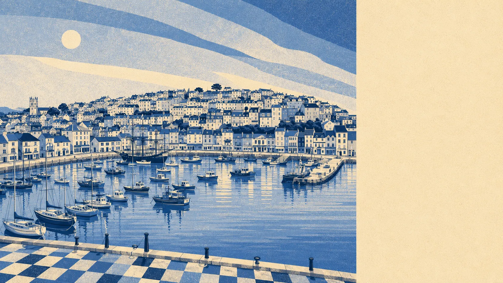
Better than the town, and the town is not bad. Green space starts at the end of most streets. Water starts sooner than that. Headlands, caves, an old fort and a coastline that keeps interrupting itself with another cove. Whatever else this place got wrong, it did not skimp on the setting.
Across the area's neighbourhoods, the average home sits about 186 metres from the nearest green space, with around 17 separate green spaces inside a kilometre. That is not a park you drive to at weekends. That is a door you walk out of.
Water is closer still. Blue space, which here means the sea, the harbour and the estuary edges rather than a municipal boating lake, averages about 334 metres away, with roughly 42 separate stretches of it within a kilometre. Living somewhere the sea is nearer than the nearest big shop rearranges what a Tuesday evening looks like.
Cycling out of the area is where it thins. The National Cycle Network averages about nine kilometres away and no postcode here counts as close to it, so getting out by bike is a road decision rather than a traffic-free trail decision, and the hills are not negotiating.
The rating list counts 181 shop premises, 24 pubs and 20 restaurants across the area. For a town this size that is a working high street rather than a parade of estate agents and charity shops, and the pub count in particular is doing something specific to the social geography of the place.
Air is clean by the standards of anywhere with a road. Fine particle pollution measured about 5 micrograms per cubic metre across the Torbay council area in 2024.
About 14% of the area sits inside the South Devon Area of Outstanding Natural Beauty, which is the formal way of saying the good bits are officially the good bits.
The texture comes from what got left behind. Berry Head Fort and its batteries occupy the headland, with an emergency coastal battery at Battery Gardens from the Second World War and a Victorian practice battery nearby. Windmill Hill Cave and Ashhole Cavern sit under the ground people walk over. Inland, Greenway and Lupton Park are the grand landscapes, and the villages that ring the town, Galmpton, Churston Ferrers, Hillhead, with Broadsands and Goodrington along the coast, keep it from feeling like a single settlement with nowhere to go. Dartmouth and Dittisham sit further along the water for the days the harbour is not enough.
Private outdoor space is the part nobody publishes and everybody wants. Across the 15 neighbourhoods here, gardens run to roughly 145,000 square metres for every 1,000 residents, and gardens make up close to 30% of the area's total land. In practice, houses here have gardens, which is not a given in a coastal town where the old stock is stacked up a hillside.
On the wider commercial picture, the valuation list carries 922 rateable premises in the area, including those shops and pubs and around 42 offices, plus 348 holiday lets. Those are premises on a list rather than businesses currently trading with the lights on, but the holiday let count says plainly what a chunk of the local property market is for.
Eating out looks sound. Of the 130 premises with a food hygiene rating, about 82% hold the top score and about 5% sit at the low end, which is a better spread than most seaside towns manage in August.
Two honest absences: no site of special scientific interest overlaps the area, and no ancient woodland is recorded here at all. Neither is a fault. It just means the protection here is coastal and scenic rather than ecological.
The surroundings are the strongest card Brixham holds. Sea at one end, headland at the other, working countryside behind, and almost nobody more than a couple of hundred metres from something green.