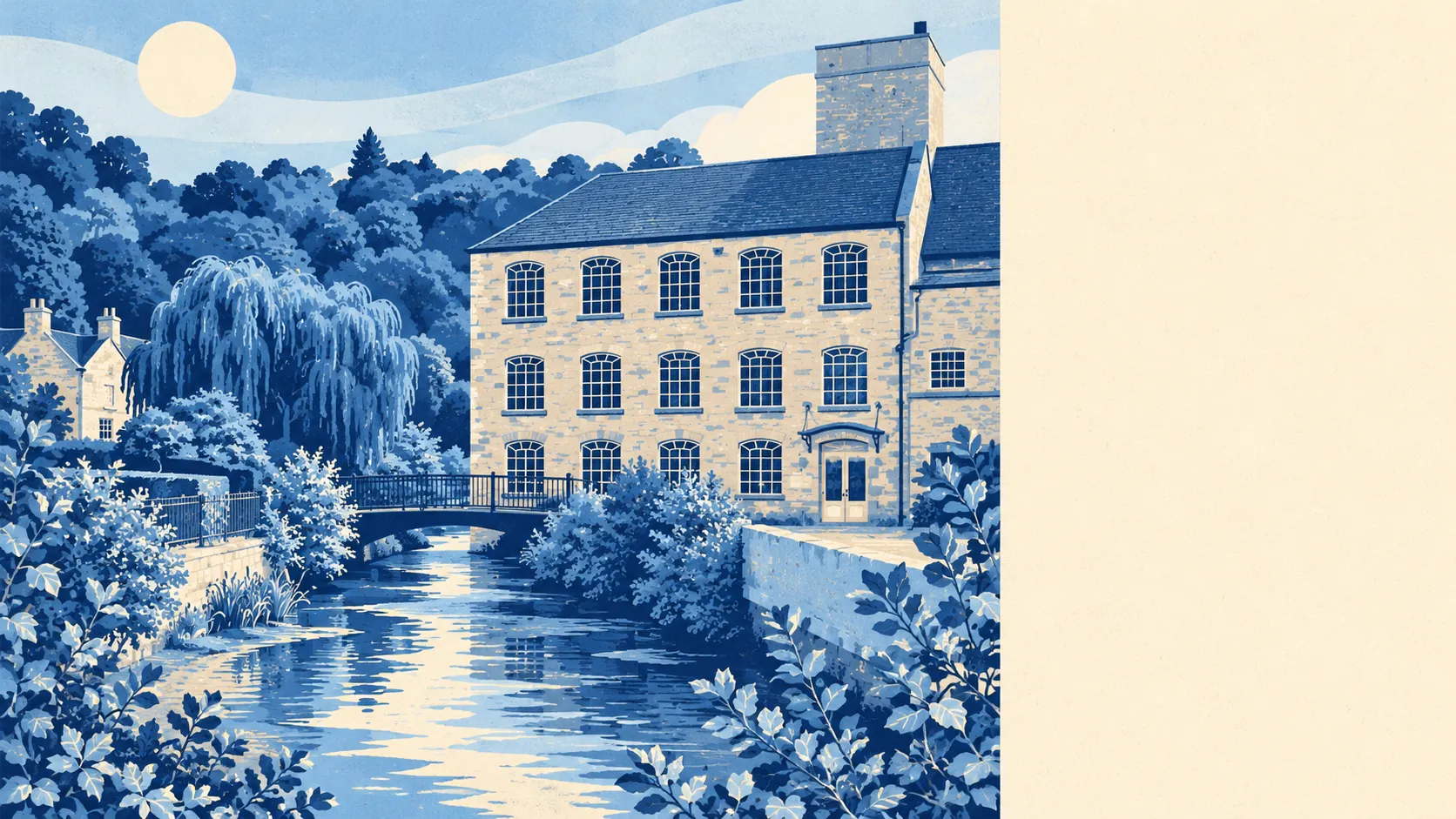
Brimscombe and Thrupp rewards people who already own a car and a walking boot, and it treats them better than most of the valley around Stroud. Most households own their home and plan to stay in it. The hills come up to the back gardens and the river runs along the bottom. The bus exists, mostly in theory.
Eight in ten households here own their home, about 81% at the last census, and the typical resident is 50. Household income comes out at about £59,000 before tax, an Office for National Statistics model for the financial year to March 2023, averaged across the wider area. That is a settled, comfortably-off village of people who did their moving years ago. The place is right for buyers who want to arrive and stop, and less right for anyone hoping a young crowd will turn up and open a bar.
The valley floor is where the mills went, because mills needed water, and the water is still there. About 11% of postcodes are flagged at high risk on at least one flood indicator, surface water included. In the Environment Agency's river-and-sea flood zones, about 8% of the area falls in the highest zone and about 1% in the middle one, rising to about 12% on the agency's climate-change projection. The risk follows the river, so a house halfway up the slope and one beside the old canal can share a name and very little else.
Getting about is the weak spot. Stroud (Glos) Rail Station is the nearest station, and at the 2021 census fewer than one in a hundred working residents took the train to work. About 47% drove and 41% worked from home. There are 43 bus stops, averaging about 26 weekday departures each and roughly one bus an hour at peak, and every one of them has a weekend service. The Department for Transport's 2019 model puts Stroud town centre 12 minutes away by car and about 24 by public transport, and the nearest hospital about 40 minutes by car and 85 by bus. Broadband does better than the buses: about 96% of premises can get superfast, and 63% can get gigabit. People who work from home can manage it; people who need the bus every day should be pricing up a car.
Crime runs at about 40 recorded crimes per 1,000 residents on Gloucestershire Constabulary's figures for the year to May 2026, roughly 14% below the average for Stroud district. Anti-social behaviour makes up a bigger slice of it than it does nationally, and the totals are small enough that a handful of incidents shifts the mix. There is no grim local reputation for the figures to undo.
Fifty-six listed buildings fall within the place, one of them Grade I and one Grade II*, and the Bussage and Brownshill conservation area reaches into it. A third of the area is inside the Cotswolds Area of Outstanding Natural Beauty. Anyone planning a big glass box on the back of a weaver's cottage will meet the planning department before the builder. The Phoenix Iron Works turned out steam engines here in the 1820s, which is more industrial ambition than most conservation officers would now allow on the same plot.
Homes sold for about £358,000 at the median over the Land Registry's 12 months to May 2026, across 33 sales. Detached houses went for about £428,000, semis about £359,000, terraces about £320,000 and flats about £189,000. Band C is the most common council tax band on the wider valuation list covering the village, with about 28% of homes in bands A and B. Renting across the Stroud area costs about £1,040 a month at the April 2026 typical, a council-wide figure for private lets that carries no village premium or discount.
The housing is mostly houses. On the council-tax valuation list about 32% are detached, 22% semi-detached, 20% terraced and 15% bungalows, with flats at about 9%. About 38% of homes were built before 1930, many of them in stone along the valley sides. The energy certificates show the cost of that: about 42% are rated D and 30% E or worse, against 28% at C or better. About 68% of homes heat with mains gas. Nobody is winning an insulation prize in a Victorian mill-worker's terrace with a stream at the bottom of the garden.
Primary choice is close at hand. Thrupp School and Brimscombe Church of England (VA) Primary School both serve the village, and the Department for Transport puts the nearest primary about an 11-minute walk away. Pupils at the five primaries in the local postcode districts averaged about 105 on the key stage 2 maths test. Ofsted rates 136 of the 156 graded schools across Gloucestershire good or outstanding, nine of them outstanding. That is a county-wide figure, so it gives a family the general standard of the area and leaves the individual schools to be judged on their own.
The outdoors is where Brimscombe and Thrupp earns its keep. Public green space is about 280 metres from the average home, and water, whether river, canal or pond, about 150 metres. The towpath and the Cotswold slopes start at the end of most roads, and a dog owner here will never run short of excuses for a second walk.
Brimscombe and Thrupp is better than average, and its strengths and weaknesses are easy to spot. The valley, the water and the hills give it more than most villages manage, and the roads and buses give it less. Buyers who drive, work from home and want old stone with a footpath at the gate will be happy for decades. Anyone who needs a train to work, a bus after dinner or a hospital within easy reach should look closer to Stroud.