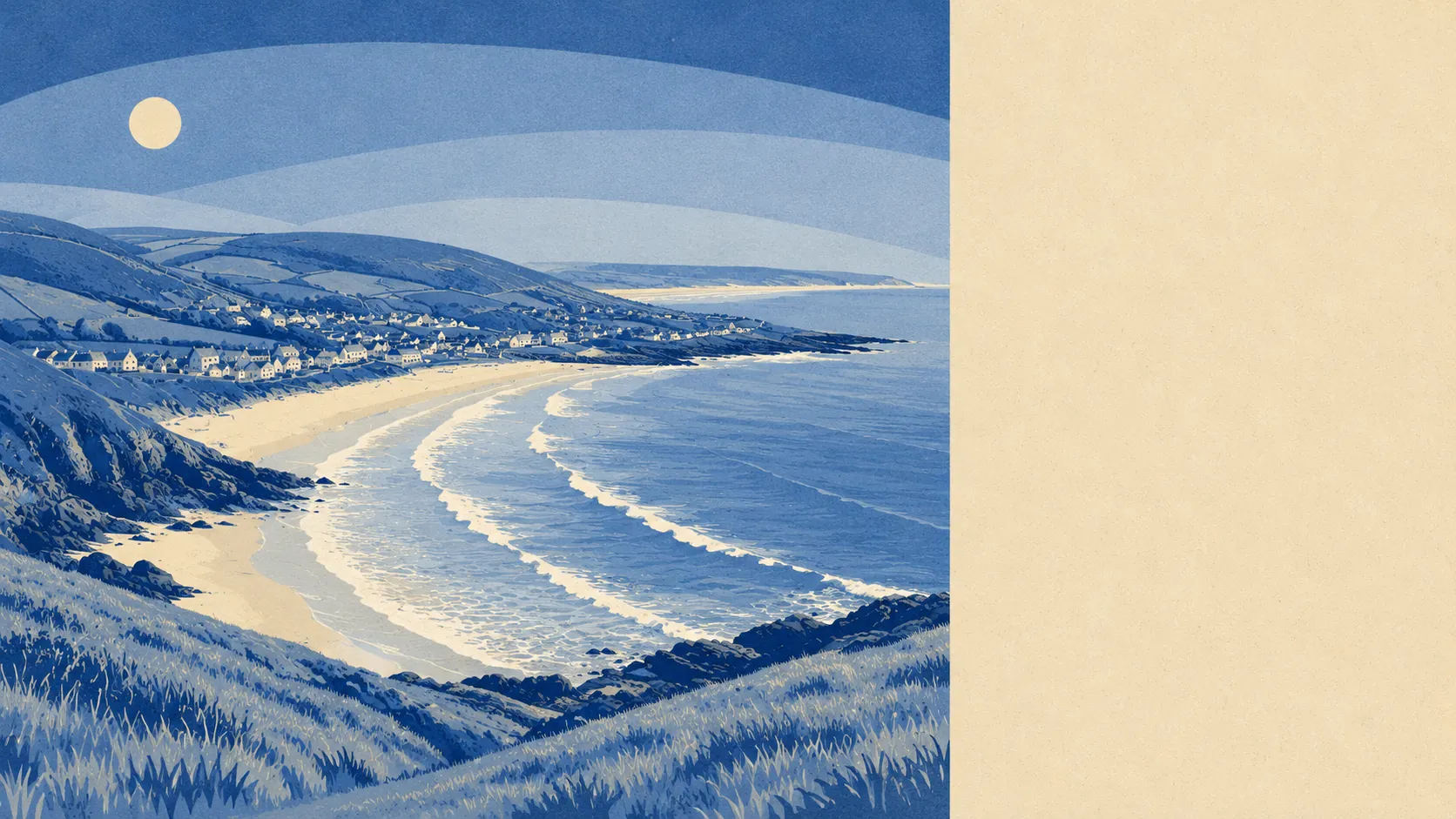
Outstanding, and almost none of it is landscaped. The village sits between a working field system, the biggest dune system in England and an estuary, with the surf beach at Saunton Sands beyond that. Green space starts a couple of minutes from most front doors. Water is barely further. What surrounds Braunton is not a park with a village attached: it is a functioning bit of coast that people happen to live in the middle of.
Green space is close to universal here. The average postcode sits about 150 metres from open green space, with roughly 17 separate sites within a kilometre. That is not a token recreation ground and a bit of verge. It is the kind of access that turns a dog into a reasonable idea rather than a logistical decision.
Water is closer still than most inland villages manage, at an average of about 290 metres, with roughly 51 pieces of blue space within a kilometre of the typical postcode. Between the estuary, the Caen Stream, the marsh drains and the coast, this is a place where the sound of running water is a background condition rather than a feature someone paid for.
The National Cycle Network sits about 350 metres from the average postcode, and roughly 72% of postcodes count as close to it. The Great Field and Braunton Burrows, the core area of the North Devon Biosphere Reserve, do the rest. Anyone whose weekend involves a bike, a board or a dog will find the infrastructure already in place and free.
The high street is busier than the population suggests. The rating list carries 95 shop premises, 13 pubs, 10 restaurants and 28 offices, alongside 362 holiday lets. That last number is the one that explains the character of the place in August, and also explains why the shops survive a winter that a village of this size would normally struggle to feed.
Air quality is good. Fine particle levels across the North Devon council area averaged about 4.7 micrograms per cubic metre in 2024, which is what happens when the prevailing wind comes off the Atlantic and the nearest heavy traffic is somebody else's.
The surrounding villages give the area its shape. Saunton and Putsborough sit on the coast, Croyde and Georgeham inland behind the headland, Wrafton and Chivenor along the estuary road, with Knowle, Lobb and Nethercott scattered through the lanes between. Several of them carry conservation area status of their own. The practical effect is that Braunton functions as the service centre for a string of smaller places, which is why the shops exist at all.
Private outdoor space is generous in a way the public figures never capture. Gardens here work out at roughly 171,000 square metres per 1,000 residents. That is the number that separates this from a dense town with good parks: people are not borrowing outdoor space from the council, they have their own, and the bungalow-heavy stock is the reason.
For the wider business picture, the valuation list records 289 rateable premises across the area. Those are premises rather than trading businesses, so the list describes the built capacity of the village rather than what is open on a Tuesday in February.
Eating out is safe enough. Of the 55 food premises with a hygiene rating, about 86% hold the top score, and about 6% sit at the lower end. Nobody needs to consult a spreadsheet before booking, though the ratings are all published for anyone who enjoys that sort of thing.
One honest absence: the mapping records no area of outstanding natural beauty, no site of special scientific interest and no ancient woodland overlapping Braunton's postcodes. The good landscape here is not protected by designation, it is protected by being a dune system, a floodplain and a farmed field system, which have all resisted development for reasons of their own.
The surroundings are Braunton's strongest card by a distance, and the rare case where the reality is better than the marketing. Green space, water and coast are all within a walk, and none of it costs anything to use.