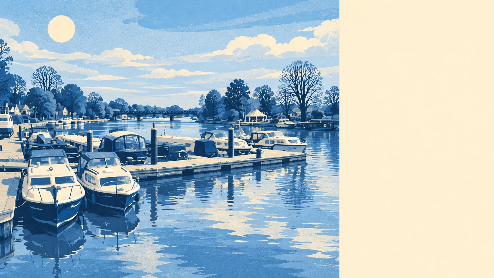
The area around Bourne End is river, meadow and big gardens, with a mansion keeping an eye on all of it from the hill. Green space is a couple of minutes from most front doors. Water is barely further. The private gardens are generous. Cliveden and Hedsor look down from the higher ground, and the view up is free.
Green space is close and plentiful. The average home is about 190 metres from the nearest public green space, with about 12 green spaces within a kilometre. Cock Marsh, by the Thames, carries a round barrow cemetery that is a scheduled monument, so the dog walk here passes Bronze-Age-style earthworks the council cannot let anyone build on.
Water is the other neighbour. The average home is about 245 metres from open water, with about 45 bodies of water, from the Thames and the Wye to ponds and channels, within a kilometre. The village takes its name from the mouth of the Wye, where the bourne ends and the Thames takes over, and the geography has not let anyone forget it.
Getting further out by bike takes some effort. The nearest stretch of the National Cycle Network is about 3 kilometres from the average home, and no postcode in the area is close to one. There is no ancient woodland inside the area itself.
The local high street is modest and mostly practical. The rated-premises records list 46 shops, 5 pubs and 4 restaurants, most of it gathered around The Parade, the village's shopping centre since the railway years.
Air quality is measured for the council as a whole: across Buckinghamshire, fine-particle pollution averaged about 7.1 micrograms per cubic metre in 2024.
Landscape designations barely touch the village. The Chilterns Area of Outstanding Natural Beauty overlaps only about 1% of the area, and no Site of Special Scientific Interest or ancient woodland falls inside it. The protected countryside starts around the edges, and it is the reason the village has stayed a village.
The character is a riverside settlement that grew from a cluster of hamlets once Brunel's railway arrived. Cores End, Well End and Spade Oak, as locals call Coldmoorholm, were absorbed into it, and Cookham, Little Marlow, Flackwell Heath and Wooburn are all within easy reach. Cliveden overlooks the village from across the river.
Private outdoor space is ample. The area has about 249,000 square metres of private garden per 1,000 residents, the measure of how much outdoor space people own and not how much farmland surrounds them. That is a lot of lawn to mow, and the multi-car driveways need somewhere to go.
The business mix on the Valuation Office Agency's rating list counts 230 rateable premises. The biggest groups are 81 office premises, 46 shop premises, 21 warehouse premises and 15 workshop or light-industrial ones. These are premises on the list, not a register of businesses trading today. The Wye's mills that employed the valley for centuries were replaced by houses, offices and industrial estates, which is how a riverside village ends up with more offices than shops.
Eating out is reliable on hygiene. Of the 41 food premises with a published rating, about 76% hold the top score of five, and about 2% are rated at the low end.
Walk the route from the specific house to the river and to The Parade before buying, since an average distance flattens the difference between the Thames frontage and the higher ground.
The surroundings are one of Bourne End's real strengths, with parks, river and private gardens all within easy reach. Few villages this close to London manage this much green and water at once.