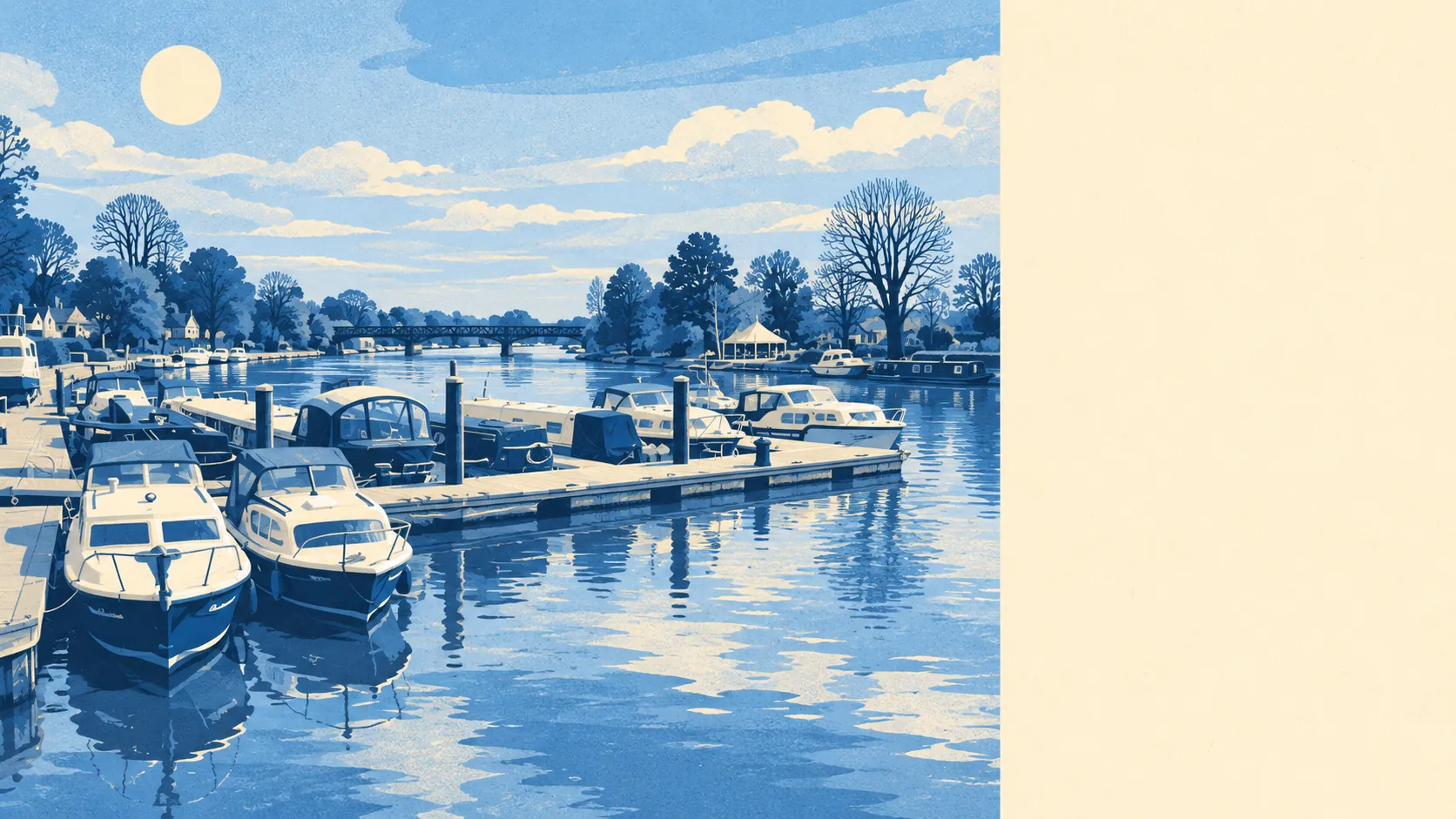
Yes, in parts, and the parts are the ones people move here for. About one postcode in nine is in the highest river flood zone. About one in nine also rates high on at least one flood measure. The village has dozens of recorded floods on file. Most of Bourne End is dry, and the wet part is the riverside.
The name gives the game away. Bourne End takes it from the end of the river, where the Wye runs into the Thames, and the Environment Agency's river-and-sea flood zones follow the water the name describes. About 11% of the area's postcodes are in Flood Zone 3, the highest-probability band, and about 17% are in Flood Zone 2, the medium-probability fringe beyond it. The two bands do not overlap, so a postcode in one is not counted in the other.
The Environment Agency's surface-water mapping, for rain that floods before it reaches a river, has no separate share for Bourne End in this page's sources. It is folded into the postcode-level measure further down, and it matters most away from the river, on roads and low corners where drains back up.
The Environment Agency's climate-adjusted flood zones, which model how far river and sea flooding could reach under future conditions, take in about 40% of the area's postcodes. That is a modelled scenario for planning purposes, and it is the figure worth reading alongside the current zones when the plan is to stay twenty years.
For insurance, a home in Flood Zone 3 or near the Thames frontage will usually face more questions, a higher premium or a larger excess, and some insurers may decline. A mooring in the particulars is a selling point to a buyer and a line item to an underwriter, so the quote is worth getting while the offer is still a conversation.
Counting postcodes that rate on at least one flood measure, rivers and sea and surface water together, about 11% of Bourne End's postcodes rate high, about 19% medium and about 35% low. These bands overlap with the flood-zone shares above and measure something wider, so the two sets of figures should never be added together.
Homes are the more useful unit. The Environment Agency's rivers-and-sea risk mapping lists 1,402 properties across the 80 postcodes in Bourne End that carry some risk; postcodes with none are left out entirely. Of those properties, 233 are at high risk, 191 medium, 337 low and 39 very low, and 195 of the high-risk properties are homes.
Defences change less than a buyer might hope. About 12% of postcodes fall inside the Environment Agency's modelled high-risk extent without defences, and about 12% with defences included, the same share either way. "Defended" here means a defence appears in the model, and it says nothing about whether a particular house stays dry. The Environment Agency's records hold 42 recorded flood events, the most recent in January 2003, when a main river's channel capacity was exceeded where there were no raised defences.
The nearest tide gauge is at Portsmouth, where sea level rose by about 2 millimetres a year across its record from 1962 to 2023. That is the rate measured at the coast over those years, and for a Thames village the river is the water that counts.
Before buying, put the exact address into the Environment Agency's long-term flood risk service, ask the surveyor about any defence nearby, and get an indicative insurance quote.
Flood risk in Bourne End is middling overall: a real problem along the Thames and the Wye, and a minor one on the higher streets away from them. Which side of that line a house falls on decides most of the answer.