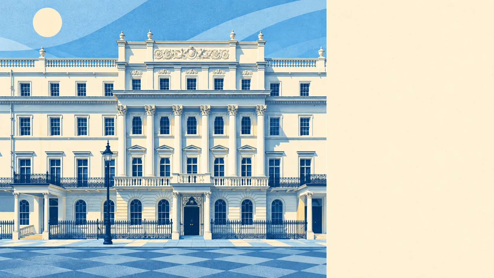
Belgravia has 794 listed buildings, and each one has an opinion about your windows. For a buyer, that means any change bigger than the paint colour turns into a conversation with people who care a great deal more about the cornice than the kitchen. You get superb parks almost at the front door, and you pay prices that look like a typo. Overall it comes out middling, and the architecture wins most of the arguments.
Historic England's register puts 51 of those 794 listed buildings at Grade I, 84 at Grade II* and 659 at Grade II. Twenty-two conservation areas fall inside the box drawn around the area, Belgravia's own among them, along with Albert Gate and Grosvenor Gardens. On a listed home, altering the inside can need listed building consent as well as altering the outside. Inside a conservation area, changes to the street face of an ordinary house are controlled too. Thomas Cubitt finished the stucco terraces in 1847, and plenty of what he built still has to be asked before it can be changed.
The Land Registry recorded 89 sales in the year to May 2026, at a median of about £1,875,000. Behind that figure are two quite different markets. The 67 flats went for a median of about £1,335,000, and the 22 terraced houses for about £3,490,000. Band H is the most common council tax band, and only about 4% of homes are in Bands A or B. Westminster charges about £2,100 a year for Band H, which may be the one line on the paperwork that makes the owner of a terrace in that price range smile.
Westminster's typical private rent is about £3,150 a month as of April 2026, down about 4% on a year earlier, and that is a borough-wide figure that takes in plenty of streets less grand than Eaton Square. By bedroom count, the same Westminster series runs from about £2,500 for a one-bed to about £5,350 for four or more.
The council-tax valuation list shows a place made mostly of flats. About 81% of homes are flats and 16% are terraced houses, and detached and semi-detached houses barely register. About 58% were built before 1930, much of it in the stucco that made the name. Energy certificates put about 58% of rated homes in bands A to C and about 10% in E or worse, which is respectable for stock this old. About 55% of homes heat on mains gas and about 21% on electricity alone. From the street the facades look the same whatever is heating them, though the bills will not.
The Metropolitan Police recorded about 432 crimes for every 1,000 residents in the 12 months to May 2026, level with the Westminster average of about 440. The mix is more telling than the total. Theft from the person made up about 19% of recorded crime, against about 2% across England and Wales. Violence and sexual offences made up about 14%, against about 35% nationally. Crime here goes for the pocket far more often than for the person.
London Victoria is on the eastern edge, and the area has 172 bus stops. Stops with timetable data average about 790 departures every weekday, roughly 43 an hour at the peak. Gigabit broadband reaches about 85% of premises, and superfast about 94%. At the 2021 census about 60% of working residents worked from home and about 4% took the bus. That means one of the better bus services in the country runs past a lot of people who are at home on a video call.
Flooding needs two measures kept apart. On the postcode flood indicators, which include surface water, about 26% of postcodes show high risk on at least one. The Environment Agency's river-and-sea flood zones put about 15% of the area in Zone 3 and about 6% in Zone 2. Yet the same agency's count of properties at risk from rivers and the sea finds none at high or medium risk. The zones map where water could reach, while the property count reflects how likely it is to get there. The old course of the River Westbourne runs near the district, and the flood maps remember it better than most residents do.
Only about 31% of households own their home. The median age is 41. The Office for National Statistics models gross household income at about £86,000 for the financial year to March 2023, averaged across the area. Embassies, charities and institutions took over many of the largest houses after the Second World War, and plenty are still there, mostly around Belgrave Square. Some of the neighbours have a flagpole where you would expect a doorbell.
The surroundings are where Belgravia earns its keep. Homes are on average about 90 metres from the nearest green space, and the nearest water is about 470 metres away. Hyde Park is to the north, Green Park to the north-east, and Belgrave Square and Eaton Square in the middle. Knightsbridge, also covered on this page, adds the shops along the park's southern edge. Most front doors are a short walk from a lawn that someone else mows.
Belgravia is right for a buyer who wants a central London address, parkland at the end of the road and a home they are happy to keep largely as they found it. Someone planning a basement, a rear extension or new sash windows on a listed terrace should look elsewhere, or budget for a long correspondence with the planners first.
The surroundings are excellent, and very few addresses this central put that much grass and that many squares within easy reach. The freedom to alter a home is close to nothing. In practice you are buying a building to look after, and it will not become whatever you want it to be. Taken together, it is an average place to live at a far-from-average price, and it suits people who are happy for the house to set the rules.