Greener and wetter than its reputation, and busier than a weekend walk suggests. A park or green is never more than a couple of minutes' walk away. Water is barely further. The high street is built for errands and has few pubs. The town meets two rivers, and both are finally becoming something you walk beside.
On average, the nearest green space is about 130 metres from a Barking home, and about 30 parks, greens and playing fields are within a kilometre. Nobody here has to plan a trip to grass. Valentines Park, with its listed railings and gates, is the nearby park worth the short trip north.
Water is close as well. The nearest river, creek, lake or pond averages about 300 metres from home, and about 55 of them are within a kilometre. The Roding runs down the west side of town into Barking Creek and the Thames. For a century the riverside belonged to industry, from the guano works at Creekmouth to the power station that burned coal shipped in by river, and the development at Barking Riverside is designed to open the Thames frontage up to the public. The river has been working for a living longer than it has been a view.
The National Cycle Network averages about 900 metres from the front door, and about 23% of postcodes are close to it. Barking has no ancient woodland.
The high street is made of shops. The rated-premises list has 459 shops, 11 restaurants and just 9 pubs, against 619 offices. Barking is set up for running errands, and there are fewer places to sit down after them than a town of 67,720 people might expect. Vicarage Field Shopping Centre, which opened in 1990, anchors the town centre.
Fine particles in the air averaged about 9.1 micrograms per cubic metre across Barking and Dagenham in 2024, a borough figure that covers the busy roads and the parks alike.
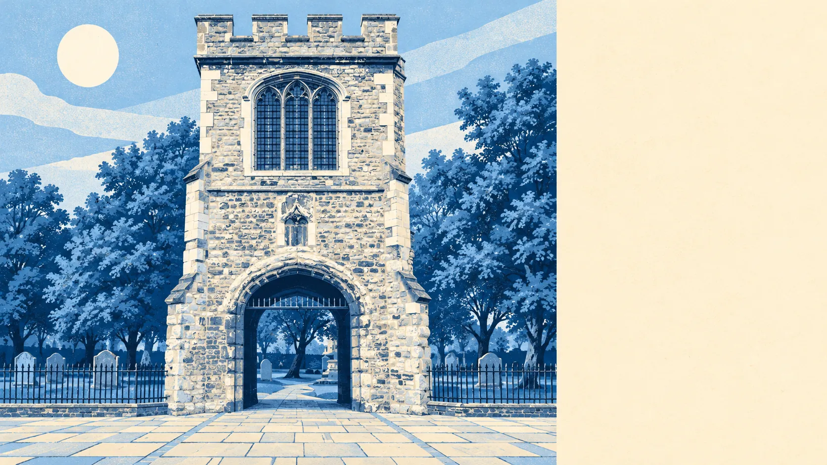
The town's character comes in layers. The Abbey and Barking Town Centre conservation area keeps the abbey ruins and St Margaret's Church at the heart of a busy shopping district. The Abbey Road Riverside conservation area mixes converted Victorian industrial buildings with new flats along the Roding. Further east, Eastbury Manor House is an Elizabethan manor house run by the National Trust, among the post-war streets, and Valence House Museum keeps the record of the fishing town Barking used to be. A town of chain shops and commuter flats turns out to have a Tudor manor in the middle of its housing.
Private outdoor space is the scarce resource. Barking has about 24,000 square metres of garden for every 1,000 residents, in a town where most homes are flats. The parks do the job that back gardens do elsewhere, which is why there are so many of them so close.
The council's valuation list counts 2,196 business premises in the area, and after the offices and shops most of the rest are warehouses and industrial units, with Creekmouth's estate one of the borough's largest employment areas. These are premises on the rating list, which isn't the same as businesses open on any given day.
Of the 340 food outlets with a hygiene rating, about 39% hold the top score of five, and about 16% are at the low end of the scale. Check the score for any takeaway you plan to order from often.
None of Barking is covered by an area of outstanding natural beauty, a site of special scientific interest or ancient woodland. This is a working town whose green space was laid out for the people living in it, and conservationists were never part of the plan.
For everyday green space and water, Barking is outstanding. Almost every home is a short walk from a park, and the rivers that built the town are being opened back up to the people who live there.