Barking is easy to leave, and for most of the people moving in, leaving every morning is the whole plan. One station puts the Underground, the Overground and c2c under a single roof. The buses are frequent enough that checking the timetable is optional. The trouble is coming home, because recorded crime runs more than a third above the rest of its own borough. Brilliant for getting out, harder work once you're back.
Barking Rail Station is the hub. It is served by the London Underground, the London Overground, c2c and the East London Transit buses, and the Overground was extended south to Barking Riverside in 2022. The wider area has 247 bus stops. Those with timetable data average 503 departures each weekday and about 28 buses in the busiest hour, and every one of them has a weekend service. At the 2021 Census about 11% of working residents took the train to work, 9% the bus and 27% drove, while 24% worked from home. About four in ten households have no car at all. Gigabit broadband reaches about 93% of the area. Barking is also the western end of the Yiwu to London freight railway, which ran its first train from China into the DB Eurohub here in January 2017. Your commute is short by comparison.
Safety is the weak side. The Metropolitan Police's published rate for the year to May 2026 is about 154 crimes per 1,000 residents, roughly 37% above the Barking and Dagenham average of about 112. The mix matters as much as the total. Anti-social behaviour makes up about 21% of recorded crime here against 16% across England and Wales, vehicle crime about 8% against 5%, and drugs offences 6% against 4%. Violence and sexual offences, the largest category almost everywhere, are a smaller share here than nationally, about 29% against 35%. The pattern is a busy station town's: lots of nuisance, lots of broken car windows, fewer of the crimes that make the news. Anyone parking on the street should take the vehicle figure personally.
Flooding needs a careful read, because two measures are in play. The Environment Agency puts about 40% of Barking in flood zone 3, the highest-risk band in the river-and-sea flood zones, with another 8% in zone 2. Counted by postcode, about 53% are rated high risk on at least one flood indicator, surface water included. The most recent recorded flood came from the main river in December 1987, when the defences were overtopped. Barking made its living from the Thames and the Roding for centuries, and the maps are a reminder that both are still there.
It is a young, renting town. About 38% of households own their home and the typical resident is 32. The Office for National Statistics models average gross household income at about £67,600 for the financial year to March 2023, averaged across the area's neighbourhoods. Most of the people here are at the stage of life where the front door matters less than the station.
The Land Registry's twelve months to May 2026 show a typical sale price of about £355,000 across 239 sales. Flats went for about £240,000 and terraced houses for about £453,000, and the 17 semi-detached houses that changed hands fetched around £565,000. Band C is the most common council-tax band, with about 27% of homes in bands A or B.
Renting costs about £1,690 a month on the Office for National Statistics' figure for the whole Barking and Dagenham borough as of April 2026, up about 6% on a year earlier. That is a borough-wide average, so a new flat by the river and an older terrace near the town centre can sit some way either side of it.
The council-tax list has about 56% of Barking's homes as flats and 38% as terraced houses, with semis at 5% and detached homes under 1%. About 17% were built before 1930. Among the homes holding an energy certificate, about 69% are rated A to C, helped along by all the newer flats. About 61% of homes heat with mains gas, and about 20% rely on electric heating alone, a running cost to ask about on any viewing. In Barking a house with four free walls is close to a rumour.
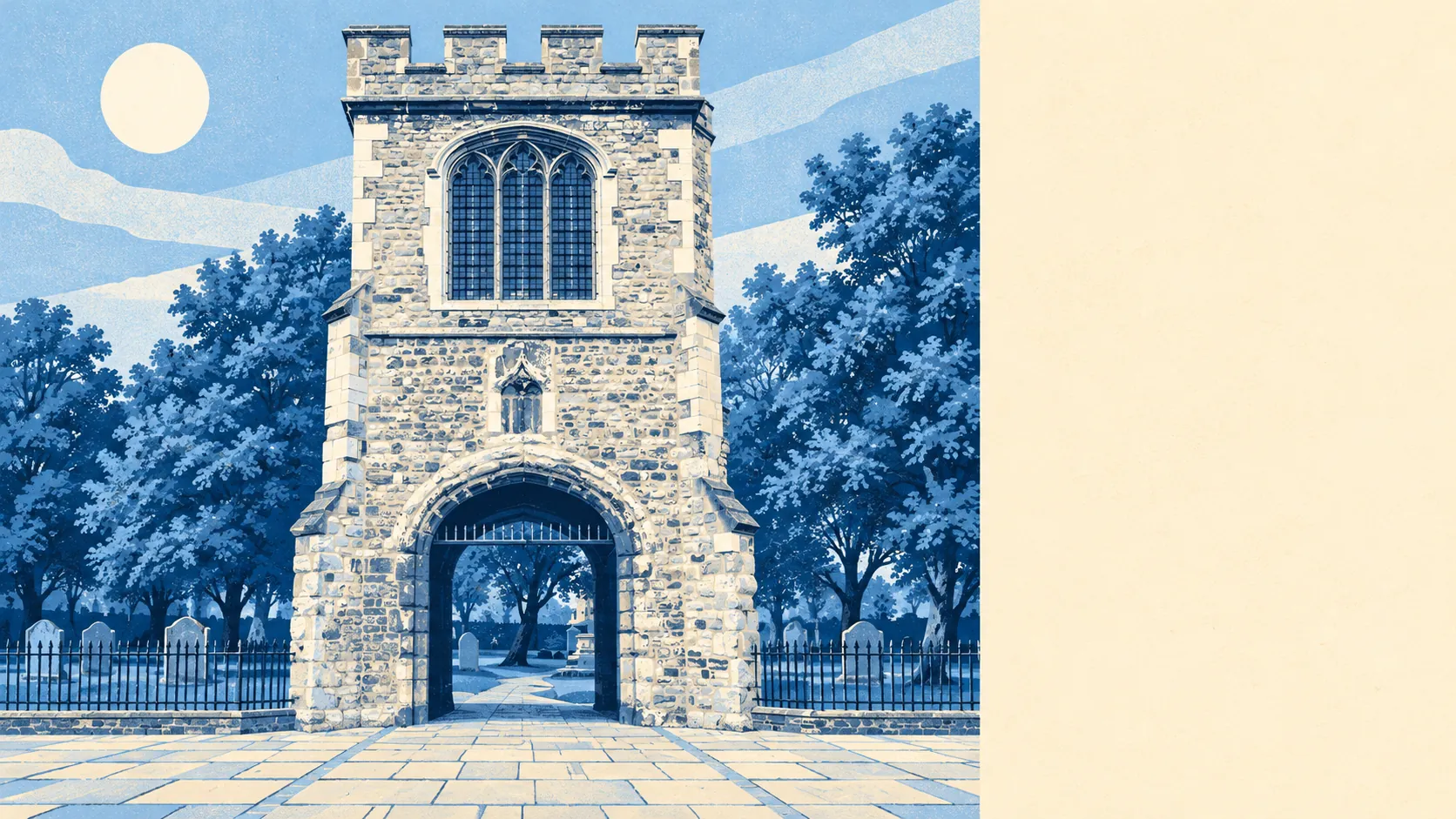
The heritage is old and concentrated. There are 18 listed buildings, three of them Grade I, including St Margaret's Church, where Captain James Cook married Elizabeth Batts in 1762, and Eastbury Manor House, the Elizabethan manor house now run by the National Trust. The ruins of Barking Abbey, founded in 666 and demolished in 1536, are a scheduled monument. Three conservation areas cover Abbey and Barking Town Centre, Abbey Road Riverside and Mayfield, and alterations inside them get closer scrutiny than the post-war and newer streets elsewhere. The abbey survived the Danes and still lost to Henry VIII.
Green space is close almost everywhere, with the average home about 130 metres from a park or green and around 30 within a kilometre. Water is about 300 metres away on average, between the River Roding and the Thames. This page also covers Barking Riverside, the big new development on the old power station land by the river; Creekmouth, whose industrial estate is one of the borough's largest employment areas; and the slice of Newham west of the Roding that shares the postcode.
The town has a habit of producing people who leave a mark. Two England football captains, Bobby Moore and John Terry, are Barking names, and Jason Leonard began his rugby career at Barking RFC. Billy Bragg and The Edge both come from here, so the town has supplied the protest song and the stadium guitar. Mary Wollstonecraft spent part of her childhood here when it was a small rural market town, and Annie Huggett, the last living suffragette, was a Barking activist.
Barking is right for renters and first-time buyers who work in London and want a flat, a fast way in and a park round the corner. Buyers after a detached house, a garden with real space, or a street that stays calm after dark should look further out. It is a better place to live than its reputation suggests, as long as you are comfortable locking the car and spending most of your waking hours somewhere else.