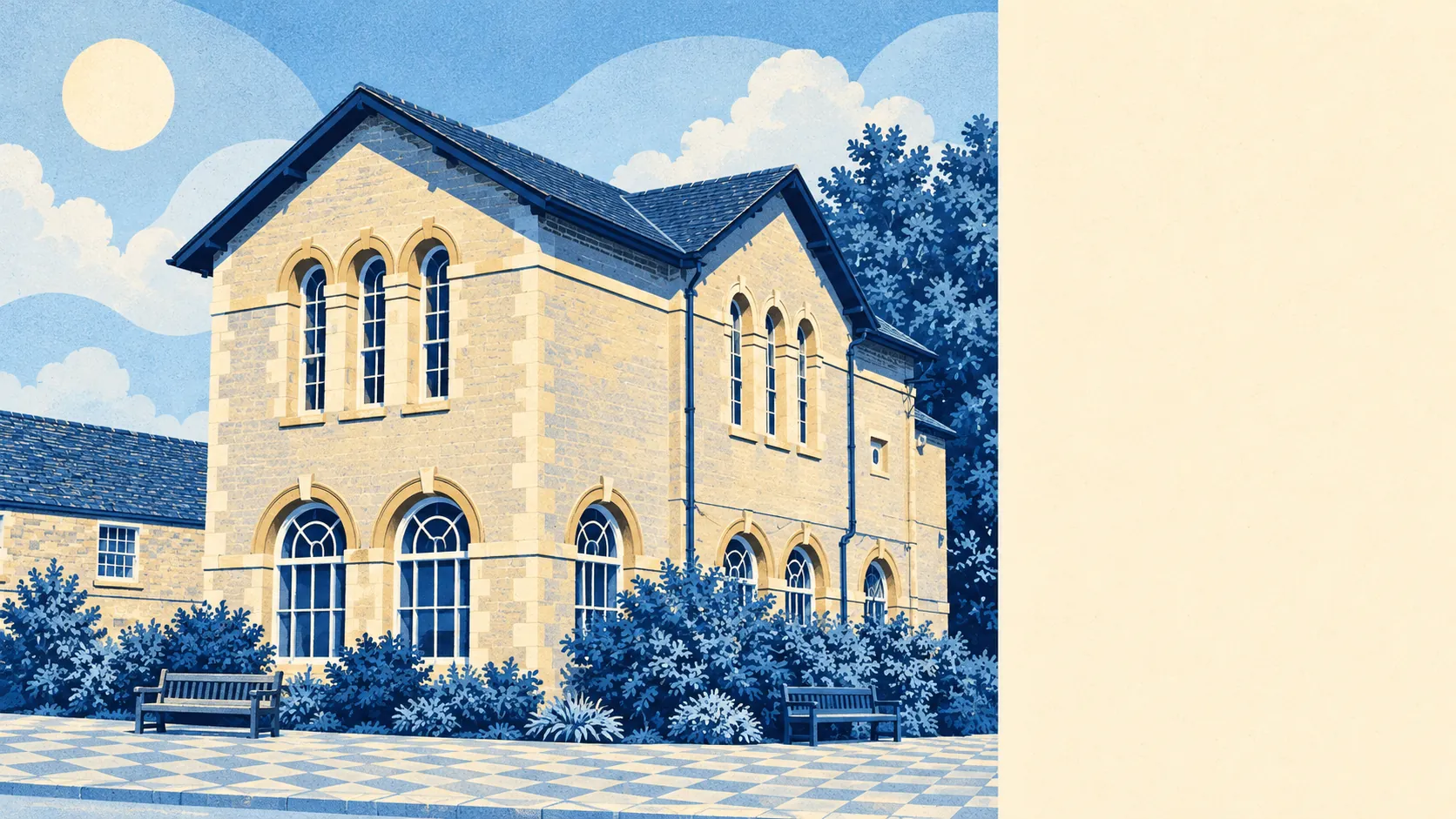
Bampton is surrounded by flat, wet, green countryside, close enough to step into from most front doors. There are fields on most sides, a brook along the village edge, and the Thames a little further south. The village itself is mostly pubs and small shops, with few restaurants. None of the land is formally protected, but nobody seems to have needed to protect it.
On average, a home in Bampton is about 150 metres from the nearest green space, and about 11 green spaces are within a kilometre. Most homes are a short stroll from the edge of a field, without needing to drive to a park.
Water is closer than people expect. The nearest blue space averages about 240 metres from home, and about 30 water features lie within a kilometre, from Shill Brook along the village edge to the ditches and streams that drain south into the Thames. The parish's southern boundary is the river itself.
Serious cycling takes more effort. The nearest National Cycle Network route is on average about 7.4 kilometres away, and no postcodes in the area are close to one. There is no ancient woodland in the area at all. The countryside here is open meadow and farmland, and the lanes are what most people walk and ride on.
Across the wider OX18 postcode district, which includes Burford and the villages between, there are 139 shops, 22 pubs and just 2 restaurants. There are far more pubs than restaurants, so most eating out happens in a pub.
West Oxfordshire's fine-particle air pollution averaged about 6 micrograms per cubic metre in 2024. That figure covers the whole district.
The scheduled monuments around the village show how long people have lived here, from a causewayed enclosure and a long mortuary enclosure by Rushey Weir to Radcot Bridge further down the Thames. People were burying their dead beside Rushey Weir long before anyone thought to put a fence round a garden. Weald, Lew, Black Bourton, Clanfield and Aston are close by, each a short drive across the same flat farmland.
Private gardens are generous. Bampton has about 219,000 square metres of garden for every 1,000 residents, a measure that counts private outdoor space, not the farmland around it. Most homes here come with a decent garden.
The council's rating list shows 56 rateable business premises in the village, and shops are the largest single group at 11. The rest are spread across smaller commercial categories. These are premises on the valuation list, which is not the same as businesses that are open, so a few may be empty or used for something else.
Of the 16 food businesses with a published hygiene rating, about 81% hold the top score and none sit at the bottom of the scale.
The area has no formal landscape designation: no Area of Outstanding Natural Beauty, no Site of Special Scientific Interest and no ancient woodland overlaps it. Bampton is ordinary river-meadow country. It looks as good as countryside that has been formally protected, but without the labels, the visitors and the restrictions that come with them.
The countryside is where Bampton does best, with fields, brooks and a river close to almost every house and a garden behind most of them. If you want to live close to green space and water, Bampton is hard to beat.