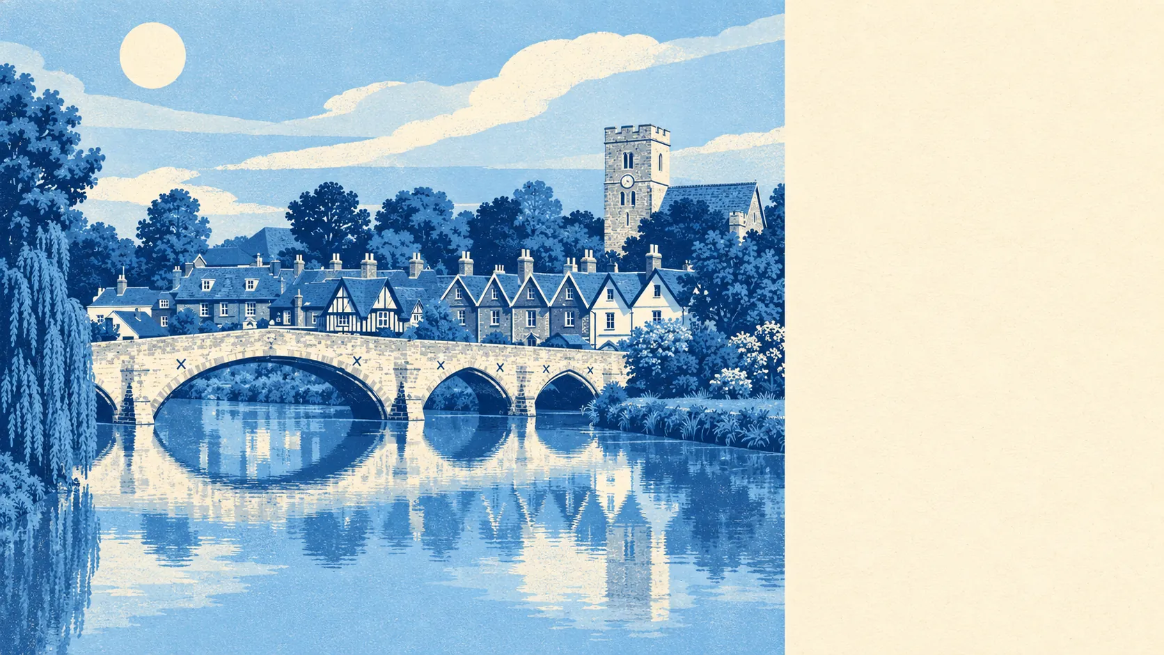
The area around Aylesford is green, full of water, and never far from open ground. The average home is a short stroll from a park. The river and its ponds and channels are closer still. Neolithic tombs sit up the hill. There aren't many places where the countryside starts this close to the front door.
Green space is close to every home. The average postcode is about 75 metres from the nearest green space, with about 18 green spaces within a kilometre. That's a walk to the end of the road, not a drive to a car park with a pay machine.
Water is even closer. The average postcode is about 60 metres from blue space, and there are about 75 bodies of water within a kilometre, counting the River Medway and the ponds, lakes and channels around it. Aylesford grew up on the river, and the landscape around it still shows that.
The National Cycle Network is further off, about 2.2 kilometres from the average postcode, and no postcode in the area sits close to it. Cyclists will be riding on the roads first, and the network is somewhere you ride to rather than set out from.
The rated-premises list counts what the local streets are made of: 63 shops, 8 pubs, 10 restaurants and 81 offices. That's a working place, not a tourist one. The pubs and restaurants cater mainly for people who live here, not for coachloads of visitors.
Fine-particle air pollution across Tonbridge and Malling measured about 7.3 micrograms per cubic metre in 2024. That's a council-wide figure, so it describes the borough rather than any particular street in the village.
The old village is the picture on the postcards: the medieval bridge, the Norman Church of St Peter and St Paul, and The Friars, the Carmelite priory that still draws pilgrims and retreat groups. Up the hill, Kit's Coty House and Little Kit's Coty House have stood since the Neolithic, and the White Horse Stone and the Roman remains at Eccles add to what's there. Burham, Blue Bell Hill and the wider Medway valley are close by for a longer walk, and Ditton, Eccles and Forstal fill in the surroundings with ordinary homes and less history.
Private gardens are generous. The area has about 94,000 square metres of garden for every 1,000 residents, so most homes have outdoor space of their own, and people aren't competing for one shared lawn.
The valuation list gives a slightly different count of what's here. It records 46 rateable premises in the core area, led by 17 offices and 6 shops, with 4 industrial premises and a scatter of other uses in ones, twos and threes. These are premises on the list, not a count of businesses currently trading, and the list covers a smaller patch than the rated-premises figures above. What it shows is the same working, practical mix rather than a high street of boutiques.
Eating out is clean. Of the 12 food premises with a hygiene rating, about 92% hold the top score of five, and none is rated low. That's a small sample, but a tidy one.
None of the protected-landscape designations overlap this area. There's no area of outstanding natural beauty, no site of special scientific interest and no ancient woodland. The countryside here is ordinary working valley land, and it's no less pleasant to walk through for lacking a designation.
The surroundings are one of Aylesford's real strengths: green space and water close to every door, with a few thousand years of history within walking distance.