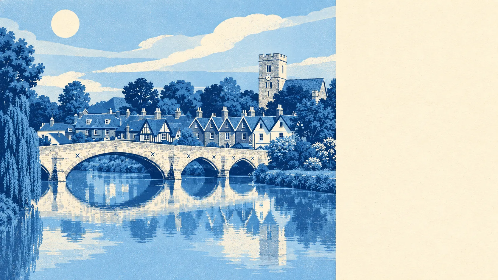
Aylesford is a postcard with a flood warning printed on the back. Two in three households own their home. Half its postcodes sit in the highest river-and-sea flood zone. A park or open ground is a short stroll from almost every front door. It's a good place to live, as long as you read the back of the card before you buy the front.
Most of the housing is ordinary family stock in an old setting. The council-tax valuation list puts terraces at about 36% of homes and semis at 35%, with flats at 16%, detached houses at 10% and bungalows at 2%. Only about 24% was built before 1930, which surprises anyone who has only seen Aylesford from the bridge. The old village by the river is small, and most of the rest went up later. Energy ratings are mixed. Of the homes with an energy certificate, 49% rate A to C, 38% rate D and 14% rate E or worse. About 83% of homes heat with mains gas and 3% run on electric heating alone. If you're viewing one of those electric-only homes, check the running costs before you start measuring for curtains.
Sales are thin. The Land Registry recorded 6 sales in the twelve months to May 2026, all of them terraced houses, at a median of about £341,000. Six sales can't give you a proper split by property type, and anyone who quotes you a confident Aylesford "going rate" for a semi is guessing. Most homes are in council-tax band C, and 13% are in bands A or B. Cheap council tax isn't really a feature of the place, although nothing here is priced like a trophy postcode either.
Renting costs about £1,470 a month. That's the typical private rent across the Tonbridge and Malling area as of April 2026, not a figure for Aylesford's own streets. With so few homes here, the council-wide number is the best guide on offer. A riverside cottage with period details will come in above it, and a flat further out will come in below.
Crime is ordinary, with a slight lean the wrong way. The published rate is about 73 crimes per 1,000 people for the twelve months to May 2026, roughly 6% above the Tonbridge and Malling average. For a council area that doesn't usually make the news for crime, that puts Aylesford in the middle of the pack. It's neither a fortress nor a warning. The honest reading is "normal Kent village near a main road", which is less exciting than either the sales brochure or the neighbourhood group chat would suggest.
Getting around mostly means driving. About 49% of working residents drive to work, 34% work from home, and only 3% take the train, even though Aylesford Rail Station is right there. The buses barely count. The area has 3 stops, averaging 3 weekday services each, and none run at weekends. The Department for Transport's 2019 modelling puts the nearest town centre 15 minutes away by car and 28 minutes by public transport. Broadband is better than the buses: superfast is available at about 96% of premises and gigabit at about 55%, and all four mobile operators cover 99% of the area on 4G or 5G. You can work from the kitchen table without trouble. Getting to Maidstone on a Sunday without a car is harder.
Flood risk is where things get serious. About 39% of postcodes register a high risk on at least one flood indicator, which includes surface water. On the Environment Agency's river-and-sea mapping, 50% of postcodes fall in flood zone 3, the highest-risk zone, and another 8% fall in zone 2. The Environment Agency has 21 recorded flood events here, the most recent listed in 1965 and caused by the sea, when the channel's capacity was exceeded. That's a long gap. A long gap still isn't a guarantee, and the mapping hasn't moved your street out of the zone. On the other side of the ledger, the surroundings are generous. Green space is about 75 metres from the average postcode, with 18 green spaces within a kilometre, and water is closer still at about 60 metres. The same river that makes the insurance quote interesting is also why the walks are good.
Heritage will affect what you can change. The area has 50 listed buildings: 2 at Grade I, 4 at Grade II* and 44 at Grade II. It also has one conservation area, named Aylesford, and one scheduled monument. The Friars, the Church of St Peter and St Paul and Aylesford Bridge all set the tone, and Kit's Coty House up the hill has been sitting there since before anyone thought to ask for planning consent. If your plans involve new windows, a dormer or a rethink of the front elevation in the old village, expect to explain yourself to people who have read the conservation guidance more carefully than you have.
The people are settled. About 65% of households own their home, the median age is 47, and median gross household income was about £63,800 in the financial year to March 2023, as modelled by the Office for National Statistics across the wider area. Few people come here passing through. This page also covers Ditton, Eccles and Forstal, which share the postcode and the valley but spread the housing well beyond the riverside village the photographs show.
Aylesford suits a buyer who wants somewhere old and characterful to look at, a car on the drive, and weekends spent on the towpath or in the woods. It suits people who work from home some of the week and don't mind that the station is used more for scenery than commuting. It suits anyone who will read a flood report the way other buyers read a school prospectus.
It doesn't suit anyone who needs a bus on a Saturday or a train timetable they can build a job around. It doesn't suit a buyer who wants a large pick of houses to choose from, because six sales in a year means you'll wait. And it doesn't suit anyone whose plan for flood risk is to hope the river has forgotten about 1965.
Aylesford is better than average, and its real strength is the setting: the river, the green space and centuries of stonework within easy walking distance. The weak spot is flood risk, and it isn't small. Buy with the flood maps open, and you get one of the best-looking villages in the Medway valley. Buy with only the photographs, and you'll hear about the river from your insurer before you hear about it from the neighbours.