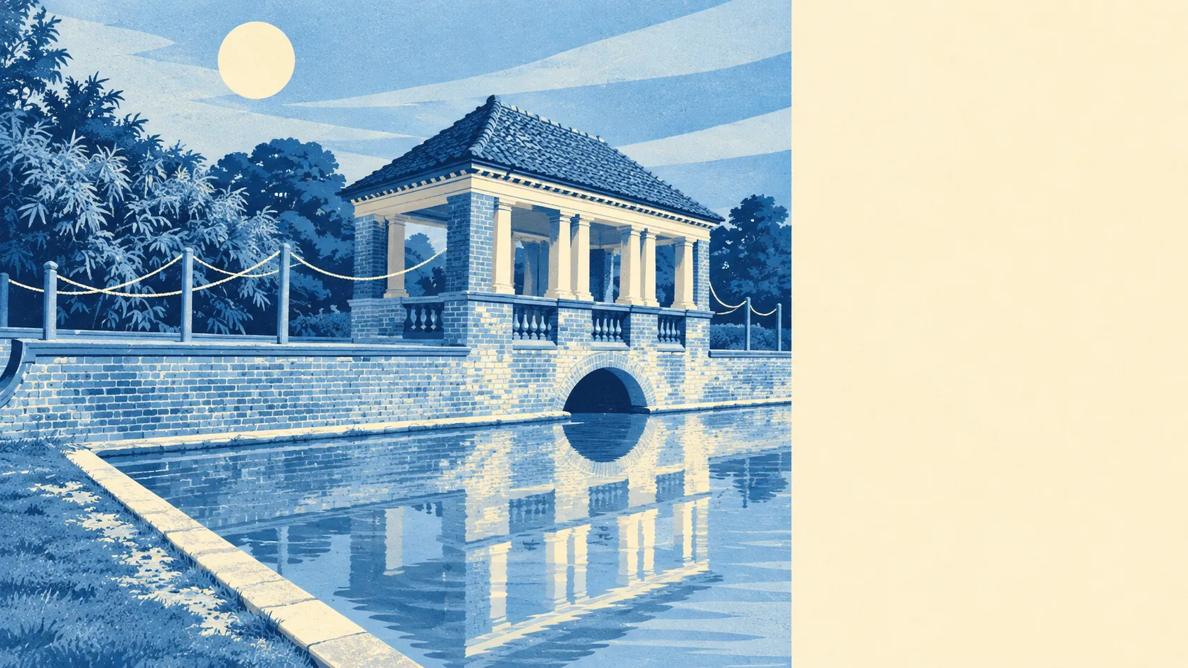
Greener than a settlement built around a road junction has any right to be. Green space is a couple of minutes' walk from the average front door. Water is not much further. Dover Castle and a clutch of ruined abbeys sit within reach. The scenery is borrowed from the neighbours, and nobody has asked for it back.
Green space is Whitfield's best-kept secret. The average home is about 227 metres from the nearest patch, and there are about 14 green spaces within a kilometre. Dog owners are not driving anywhere to walk the dog, which in a place where 62 in every hundred commuters drive, counts as a small rebellion.
Water is within reach too. The nearest blue space, a pond, stream or lake, sits about 480 metres from the average home on the Ordnance Survey mapping, with about 4 within a kilometre. It isn't the seafront, but it's more than a village of cul-de-sacs usually gets.
For getting further out, the National Cycle Network is about 650 metres away on average, and about 44% of postcodes sit close to a route. There is no ancient woodland in the area itself, so the cycle route is the way out into the countryside rather than a forest on the doorstep.
The rated-premises data counts 244 shops, 18 pubs and 22 restaurants in and around Whitfield. That's a working commercial area rather than a village green with a tea room. On the business rates valuation list, the area holds 206 rateable premises, with offices and warehouses the largest groups, followed by shops. These are premises on the list, not a count of businesses trading this week, but they confirm what the junction suggests: Whitfield is where the region keeps its stock as well as its people.
Air quality across the Dover council area measured about 6.6 micrograms per cubic metre of fine particles in 2024. That is a council-wide figure, not a reading from any particular street.
The character comes from what surrounds the village as much as what's in it. Dover Castle and the Roman Pharos sit on the town side. The ruins of St Radegund's Abbey, the remains of Langdon Abbey and the parkland at Waldershare Park and Kearsney Court lie out in the surrounding countryside, and Crabble Mill and Fort Burgoyne are within reach towards Dover. The heritage all lives next door. Whitfield gets the view without the listed building paperwork.
Private outdoor space is generous. There are about 121,000 square metres of garden per 1,000 residents across Whitfield's neighbourhoods, which reflects a stock of bungalows and semis on proper plots rather than terraced yards. The neighbours here compete over lawns, not parking spaces.
Eating out is a safe bet on hygiene at least. Of the 38 food premises the Food Standards Agency has rated in the area, about 87% hold the top score and none sit at the low end. Whatever the menu, the kitchen has been inspected and passed.
None of the area falls within an area of outstanding natural beauty or a site of special scientific interest, and there is no ancient woodland here. That's an honest absence rather than a flaw. Whitfield's green space is the everyday kind, parks and verges and playing fields, not the protected-landscape kind that comes with rules about what you can build.
The surroundings are one of Whitfield's real strengths. Green space on the doorstep, gardens with room to spare, and castles and abbeys a short drive away make up for a village centre that nobody would put on a postcard.