Whetstone is greener than a London postcode has any right to be. Parks are a couple of streets away from almost everyone. Water is close enough to walk to. Gardens are generous. The high street is for errands, and the evenings are for the garden.
Green space is the area's main asset. The average home in Whetstone is about 120 metres from the nearest public green space, and around 27 green spaces lie within a kilometre of it. Swan Lane Open Space covers the south of Whetstone, Friary Park is close by, and Trent Park and Grovelands Park are within reach for a bigger walk. The Knights Hospitaller probably had their medieval settlement where Friary Park is now. The dog walkers have held it since.
Water is closer than most outer London suburbs manage. The nearest blue space averages about 450 metres from a Whetstone front door, and about 18 stretches of water lie within a kilometre. Dollis Brook is the one people know, with the Dollis Valley Greenwalk running along its bank, so a walk by water starts within a few streets for much of the area.
Getting further out by bike takes more effort. The nearest National Cycle Network route averages about 4.4 kilometres away, and none of Whetstone's postcodes are close to one. There is no ancient woodland in the area either. The cycling here happens on roads and the Greenwalk, and the long-distance route is a ride away.
The high road is built for errands. Whetstone has 143 shops, 16 restaurants and 5 pubs among its rated premises, along with 74 offices. That makes it a place that runs errands more than it runs tabs. Tally Ho Corner in North Finchley, to the south, takes up the slack for anyone wanting more choice in the evening.
Barnet's fine-particle air pollution averaged about 8.5 micrograms per cubic metre in 2024, a figure for the borough as a whole.
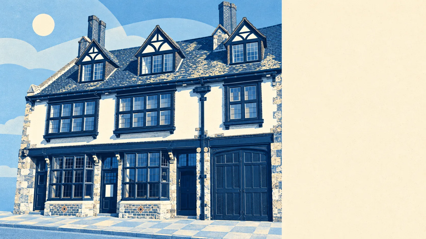
The feel is suburban London with countryside creeping in at the edges. Totteridge, to the west, mixes houses with open land and some farmland, and Oakleigh Park sits on the other side of the railway to the east. Whetstone itself is closes, semis and a busy high road, and the old crossroads that started the place is still the point everything turns around.
Private gardens are a big part of the story. Whetstone has about 114,000 square metres of garden for every 1,000 residents, which is a lot of lawn for London. Combined with the parks, it means most families have both somewhere of their own and somewhere public a short walk away.
The valuation list records 355 rateable premises in the area, led by 143 shops, 71 offices and 16 restaurants. These are premises on the list, which counts the units whether or not they are currently trading, so a gap on the high road can still show up as a shop.
Of the 107 food outlets the food hygiene scheme has rated, about 52% hold the top score of five, and about 6% sit at the low end of the scale. Half the high road is spotless, and the inspection sticker in the window is the quickest way to find out which half.
No protected landscape designations overlap the area: no area of outstanding natural beauty, no site of special scientific interest and no ancient woodland. The green here is parks, playing fields and brook-side paths, built for people to use, and most residents treat it exactly that way.
The surroundings are one of Whetstone's real strengths: parks at the end of most roads, a brook within walking distance and gardens big enough to lose a football in. For a family that wants green space without leaving London, this is about as good as it gets.