Green, wooded and very well kept. Open space is a few minutes' walk from most front doors. The North Downs rise at the southern edge of the parish. The shops are one parade, shared with the next village. Most of the outdoor space is in people's own gardens.
The average home in West Horsley is about 290 metres from the nearest public green space, with four green spaces within a kilometre. To the south, the parish climbs into woodland on the slopes of the North Downs. Beyond that are Newlands Corner, with its bowl barrow, and the nearby commons. The burial mound at Newlands Corner is the oldest protected monument in the neighbourhood, and the people living near it have been here a long time too.
Water is close as well. The nearest blue space, such as a pond, lake or stream, is about 420 metres away on average, with seven within a kilometre. None of them is a river big enough to build a village around, which suits the village's flood record.
The National Cycle Network is about 5 kilometres away on average, and no postcode here counts as close to it. Cycling here means country lanes, mostly uphill towards the Downs.
The village shares its parade of shops with East Horsley, so the everyday shopping is local and anything bigger means a drive. On the Valuation Office Agency's figures for the wider area, there are 44 shop premises, 5 pubs, 3 restaurants and 34 offices. Food hygiene inspectors have rated 9 places to eat locally, and 78% of them hold the top score of five, with none at the bottom end. Nine is a small number, so one inspection either way moves the percentage a long way.
Fine-particle air pollution across Guildford Borough averaged about 7 micrograms per cubic metre in 2024. That is a figure for the whole borough and doesn't single out any road.
About 3% of the area lies inside the Surrey Hills Area of Outstanding Natural Beauty, a thin strip at the southern edge where the parish meets the Downs. No site of special scientific interest overlaps the area, and no ancient woodland is mapped inside its boundary, so the main protections here come from the conservation areas and the protected landscape on its edge.
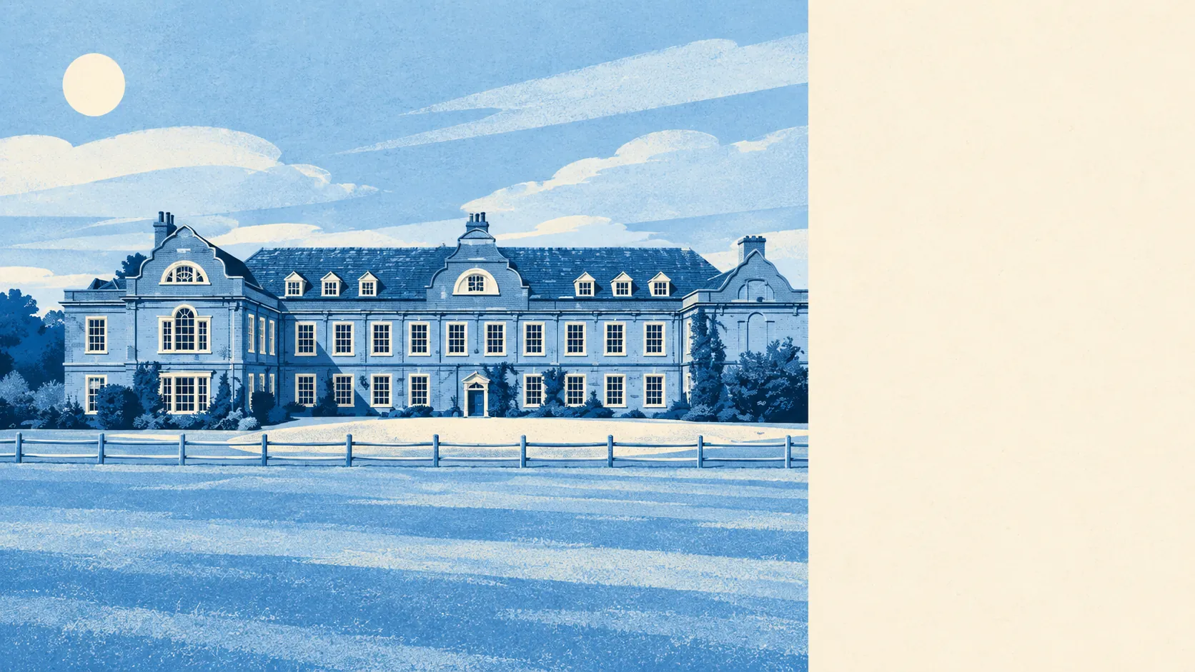
The setting is a run of old estates and conservation villages. West Horsley Place, Horsley Towers and Hatchlands are the big houses on the list. Ockham, Ripley, East Clandon and West Clandon all have conservation areas of their own. The landmarks are a country house, a church and a stretch of woodland.
Private gardens are generous. The area has about 523,000 square metres of private garden for every 1,000 residents, which is the measure that shows how much outdoor space people have of their own. Since most of the green belongs to private gardens, the public parks matter less here than they would in a town.
The business rates list records 22 rateable premises in the area itself. That counts premises on the valuation list, not businesses open today, and the mix is what you'd expect of a village with a parade, a club or two, and not much else.
For eating out, the picture is the same. Of the 9 rated premises, 78% hold the top hygiene score and 0% are rated low.
West Horsley's surroundings are one of its real strengths: woodland on the doorstep, the Downs at the edge and gardens most towns would envy. For anything bigger than the parade, residents get in the car.