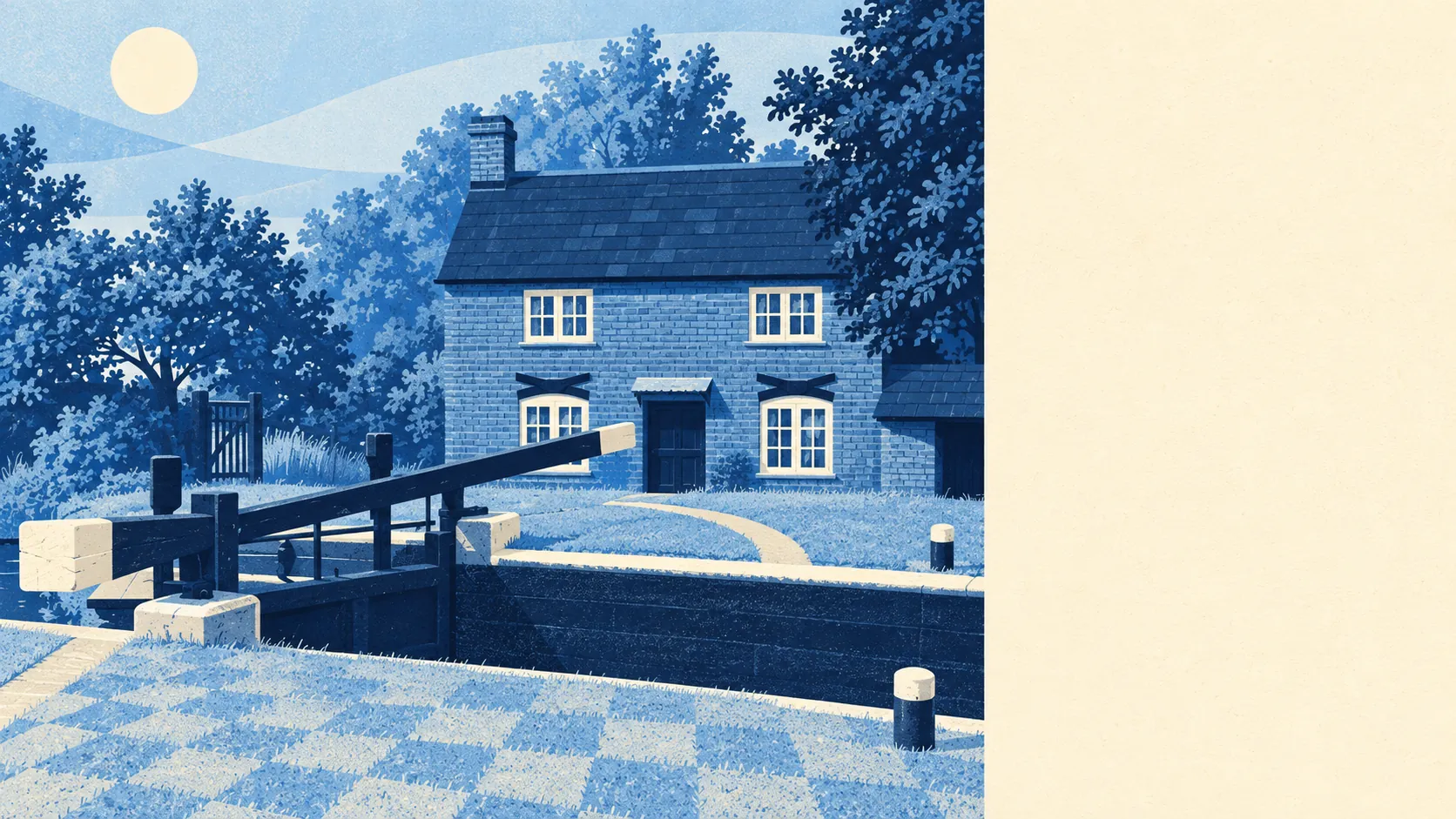
Green, wet and busier than it looks from the station. Grass is a couple of minutes from most doors. Canals and rivers are closer than the nearest pub for plenty of people. The gardens are big enough to lose a football in. This is suburbia that kept its outdoors, which is rarer in Surrey than the house prices suggest.
Green space is the area's default setting. The average home has around 13 green spaces within a kilometre, and the nearest one is on average about 190 metres away. That is the distance of a dog walk that starts before the lead is fully clipped on.
Water is almost as close. The nearest blue space, a canal, river or lake, is on average about 420 metres from home, with around 17 within a kilometre. The Basingstoke Canal runs through the area and the Wey Navigation sits on the surrounding map, so the towpath does for the evening stroll what a high street does elsewhere.
For getting further out, the National Cycle Network is on average about 720 metres away, and about 47% of postcodes sit close to it. The area has no ancient woodland, so the countryside here comes as canal banks and commons rather than old forest.
The everyday amenity mix, counted across the premises data for the surroundings, runs to about 869 shops, 55 pubs and 101 restaurants. That is a proper supply of places to buy milk and places to avoid cooking, not a single parade with a bookmaker and a hope.
Air quality across the Woking council area averaged about 7 micrograms per cubic metre of fine particles in 2024. That figure covers the whole borough rather than these streets specifically.
The character comes from what sits around the edges. Pyrford lies on one side, Brooklands, with its motor-racing history, on another, and St George's Hill further out. The Royal Horticultural Society's gardens at Wisley and the Pyrford Court gardens appear on the surrounding map, along with the ruins of Newark Priory beside the Wey. Few commuter suburbs can point to a medieval priory, a historic racing circuit and a national garden without leaving the postcode list. Most of the residents drive past all three on the way to the supermarket.
Private outdoor space is generous. There are about 169,000 square metres of garden for every 1,000 residents, which translates into lawns large enough to need a proper mower rather than a pair of scissors. Public green space and private gardens are two different things, and this area has plenty of both.
The council's valuation list records 511 rateable premises in the area itself, led by 118 shops and 72 offices. These are premises on the list rather than a register of businesses currently trading, so they describe the shape of the local economy, not what is open on Saturday.
Eating out is a safe bet by food-hygiene standards. Of 133 rated food premises, about 80% hold the top score of five, and about 3% sit at the low end. The odds of a decent kitchen are good, and the small minority are for you to check before booking.
On protected landscapes, the area has no overlap with an area of outstanding natural beauty and no ancient woodland. The one designation it touches is the Basingstoke Canal Site of Special Scientific Interest, which runs through a sliver of the map. This is working suburban countryside rather than a postcard landscape, and it is used every day as a result.
The surroundings are one of this area's real strengths: grass and water at the end of almost every street, gardens with room to breathe, and enough history on the edges to make the Sunday walk worth the boots.