Wantage records about 69 crimes for every 1,000 residents, and a buyer should weigh that number before falling for the chalk hills. It is the one real mark against a town that otherwise does well. Two-thirds of households own their homes. Green space is about a street away from most front doors. Buy with your eyes open and it holds up.
Thames Valley Police figures for the year from June 2025 to May 2026 put Wantage at about 69 recorded crimes per 1,000 residents, roughly 18% above the Vale of White Horse average. Violence and sexual offences make up 42% of the total, against 35% across England and Wales, and public order offences run at 10% against 7%. The first of those is a broad legal grouping that includes common assault without injury, so the category label sounds worse than much of what sits inside it. Shoplifting comes in under the national share, at 5% against 8%. In 1988 a Brass Tacks documentary called Shire Wars put the drunken violence of the town and its villages on national television, and the public order share suggests the habit never entirely left.
The Land Registry's last twelve months, to May 2026, show a typical Wantage sale of about £352,000 across 168 transactions. Type moves that number a long way. Flats went for about £197,000, terraces for £315,000, semis for £370,000 and detached houses for about £523,000. Most homes are in council tax band C, and only 14% sit in bands A or B, so the bottom of the bill is a small club.
For renters, the typical private rent across the Vale of White Horse is about £1,330 a month, a district-wide figure that takes in Wantage along with every town and village around it.
The council-tax valuation list, which covers every dwelling and not just the ones that have changed hands lately, describes a town of houses. Semis make up 27%, detached houses 25%, terraces 23%, flats 18% and bungalows 6%. Only about 14% of homes were built before 1930. Henry III granted the town its market in 1246, and most of the housing it now trades around turned up in the last few generations. About 68% of certificated homes rate A to C on their energy certificates. Mains gas heats 78% of homes, and about 10% rely on electricity alone, a running cost that belongs on the list of questions for any older property.
About 66% of households own their home, and the median resident is 42. Modelled household income comes to about £70,400 a year before tax, an Office for National Statistics estimate for the financial year to March 2023. That is the income profile of a town where the conservatory and the second bathroom were both paid for in cash, eventually.
Flooding comes down to which measure you read. About 10% of Wantage postcodes are at high risk on at least one Environment Agency flood indicator, surface water included. In the river-and-sea flood zones the picture shrinks, with under 1% of postcodes in the highest-risk zone. The Letcombe Brook runs through the middle of town, and the last recorded flood, in July 2007, came when the channel ran out of room and there were no raised defences to hold it.
There is no railway station, and fewer than one commuter in a hundred goes by train. About 37% work from home and 45% drive, which is how a town settles the station question when the county council's plans keep arriving as studies. Buses do better than the reputation. The 51 stops average 53 weekday departures each, and 86% have a weekend service. Gigabit broadband reaches about 87% of premises and superfast broadband about 99%, and the laptop does the commuting the railway used to.
Heritage sets real limits on the older streets. Wantage has 127 listed buildings, one of them grade I and four grade II*, plus two conservation areas, Wantage Town Centre and Wantage, Charlton. Inside those boundaries, new windows, doors and extensions go through the council's planning process before anyone picks up a drill. Outside them, the post-war semis are as flexible as any semi gets.
The surroundings are the best of it. The nearest green space is about 140 metres from the average front door, water is about 410 metres away, and the North Wessex Downs Area of Outstanding Natural Beauty clips the southern edge of the parish. This page also covers the villages around the town. Letcombe Regis and Letcombe Bassett sit on the brook, with the Bassett as its source, then come Childrey, East and West Challow, Sparsholt and Kingston Lisle to the west, Ardington and East Hendred to the east, and Charney Bassett, Lyford, Denchworth and East Hanney out across the vale to the north, with Farnborough and Fawley up on the Downs. Thomas Hardy put both Wantage and Fawley into Jude the Obscure, a novel about a man failing to get anywhere, which is a backhanded compliment for a place this easy to drive out of.
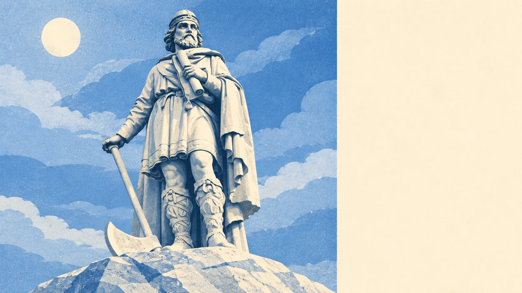
The town's roll of residents runs well past its size. Alfred the Great was born here. Joseph Butler, later Bishop of Durham, was born and educated here, and William John Butler founded the Community of Saint Mary the Virgin while he was vicar. John Betjeman lived here, and the town gave him a memorial park with lines from his poems set among the trees, the kind of tribute most poets only get on a tea towel.
Wantage is right for buyers who work from home some of the week, drive the rest, and want the Downs close enough to walk before breakfast. Anyone who needs a train to work, or a town centre that stays uneventful on a Saturday night, should look elsewhere.
On safety, a buyer here is choosing a crime rate above the district's own, weighted towards the sort of trouble that happens after closing time. Everything else, from the green space on the doorstep to the brook, the hills and the villages, makes a better case than the crime figure can spoil. Wantage is a better buy than its crime record suggests and a worse one than its views do.