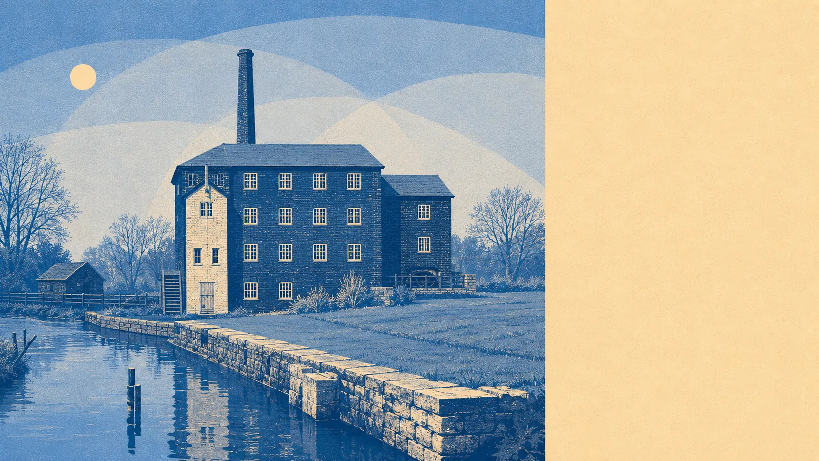
Parts of it, yes, and the parts are the ones you would guess from a map. The village sits on a river and the river has form. Most of Uffculme is nowhere near the water. A small band of it is close enough to matter a great deal. This is an address-level question dressed up as a village-level one, and treating it as the latter is how people end up surprised.
Start with rivers and the sea. Roughly 3% of the village's postcodes fall inside the Environment Agency's flood zone 3, the highest-probability band, with about 2% in zone 2. Those two are separate bands rather than nested ones: zone 2 is the additional medium-probability fringe sitting outside zone 3, which is why it can be the smaller of the two here. Between them they describe a narrow strip of Uffculme, not a general condition of living in it.
Surface water is the other half of the story and it behaves differently. Rain that arrives faster than the drains can take it does not respect the river's line on a map, and it turns up in dips, at the bottom of slopes and wherever the road camber decides. The broader postcode indicator, which folds surface water and other sources in alongside rivers, puts about 9% of Uffculme postcodes at a high rating on at least one measure, roughly 11% at medium and about 22% at low. Those bands overlap the river-and-sea zones rather than sitting on top of them, so they are a different way of counting the same village, not an additional slice of it.
Looking forward, the Environment Agency's climate-adjusted mapping brings around 5% of postcodes into the flood zone once allowance is made for future conditions. That is a modest widening of the same band rather than a new problem in a new place.
For insurance, the practical consequence is that a village-wide answer is worth nothing to you. Most Uffculme addresses will be quoted as ordinary risks. A property inside the zone, or on the surface-water pinch points, can attract a loaded premium, a raised excess for flood specifically, or a requirement to go through the Flood Re arrangement. Flood Re does not cover homes built after 1 January 2009, so on a newer property that route is closed and the quote you get is the quote there is. Either way, it is a conversation to have with an insurer before you instruct a solicitor, because the answer arrives faster than a survey does and it prices the house for you.
Counted as homes rather than postcodes, the Environment Agency's rivers-and-sea mapping covers 285 properties across the nine Uffculme postcodes that carry any risk at all. Of those, 21 sit at high risk, 46 at medium and two at low, with 13 of the high-risk properties residential. Postcodes with no risk do not appear in that count, which is why the total is a fraction of the village.
On whether anything stands between the water and the house, the modelled extents give about 3% of postcodes inside a high-risk extent with no defence present in the model, and none inside a defended one. That means the risk here is mapped as undefended: the water reaches those addresses without a structure in the way. It also means that where defences do appear elsewhere, their presence in a model is a description of what has been built, not a guarantee of what will hold.
Sea level is a background factor rather than a live one this far inland. The nearest long-record tide gauge, at Devonport, measured a rise of about 2.35 millimetres a year across its 1962 to 2015 record. That is a measured historic rate over that period, not a projection, and its relevance to Uffculme is indirect.
Historically, the Environment Agency has four recorded flood events for the area, the most recent in July 1968 on a main river where the channel capacity was exceeded with no raised defences in place.
Flood risk here is middling: real, narrow, and entirely about which side of the water you buy on. Two practical steps before you commit. Put the exact address into the Environment Agency's long-term flood risk service rather than relying on any village-level figure. Get an indicative insurance quote for that address before you spend money on a solicitor.