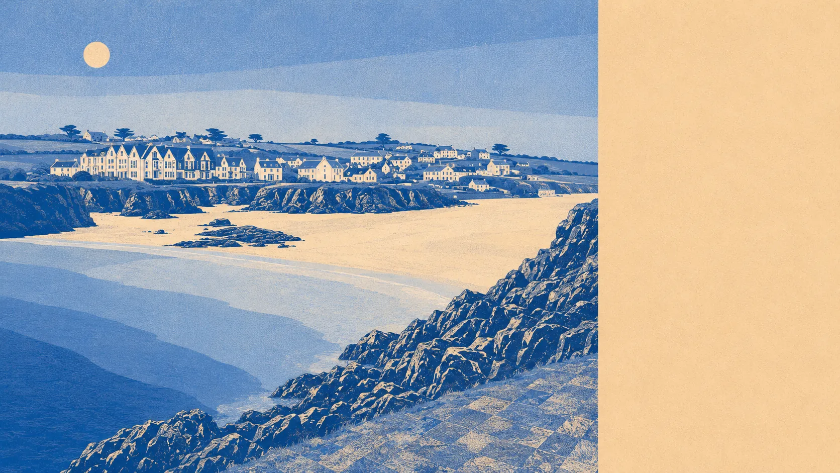
Water everywhere and hardly any parkland. The sea is a few minutes from most front doors here. Public green space, the formal sort with a gate and a mown edge, sits the better part of a mile off. The gardens are enormous and largely compensate. This is a coastline that never got round to building a park, on the reasonable grounds that it already had a beach.
The water access is the standout figure. Blue space averages about 390 metres from the area's postcodes, and there are roughly 40 separate blue-space features within a kilometre. In practice that means the coast is not a destination you drive to at weekends. It is the thing at the end of the lane, available in February at seven in the morning when nobody sensible is out in it.
Getting further out is straightforward on two wheels. The National Cycle Network runs an average of about 520 metres from the area's postcodes, and roughly 42% of them sit close to it. That is unusually good access for a rural coastal village, and it is one of the few ways of covering distance here that does not involve a car.
The amenity mix around the village is holiday-coast standard rather than market-town standard. The rating list for the area carries 109 shop premises, 11 pubs, 11 restaurants and 12 office premises. That is a decent spread of places to spend money and a very thin one for places to earn it, which tells you most of what you need to know about the local economy.
Air quality is the sort you would expect this far from anything industrial. Fine-particle levels for the Cornwall council area averaged about 5 micrograms per cubic metre in 2024, which is a council-wide figure rather than a village one.
The texture of the area comes from the villages strung along the same few miles of coast. Padstow sits inland along the estuary and does the heavy commerce for everyone. St Merryn, Harlyn, Constantine Bay, Treyarnon and Porthcothan each hold their own beach and their own summer population. The cliffs here are the real landscape feature, with fossil beds at Pentonwarra Point and Marble Cliff, and Porthmissen Beach below. It is a landscape people come to look at, which is a mixed blessing when you live in it.
Private outdoor space is where the numbers get genuinely striking. Gardens amount to roughly 249,000 square metres per 1,000 residents, which is a lot of lawn, hedge and shed for a small population. Set that against public green space averaging about 1,440 metres away and the picture resolves: people here do not go out to green space. They own it, mow it, and complain about it.
Look at what is actually on the valuation list in the immediate area and the holiday economy stops being subtext. There are 73 rateable premises in total, and 64 of them fall into one single category, with everything else appearing in ones and twos. Across the wider area the list carries 668 holiday-let premises. These are premises on a rating list rather than businesses trading today, which is an important distinction, but the shape is unmistakable. A great deal of the built stock here exists to be slept in by somebody who lives elsewhere.
Eating out is a short list well kept. Four food premises in the area carry a hygiene rating, all of them at the top score, and none at the bottom. With four to choose from, that is less a scene than a rota.
One honest absence worth stating: the mapping records no protected-landscape designation overlapping the area's postcodes. No area of outstanding natural beauty, no site of special scientific interest and no ancient woodland falls across the houses themselves. That is not a criticism of the scenery, which speaks for itself from any cliff path. It simply means the landscape protection sits elsewhere and is not doing any work on your side of the garden wall.
As surroundings go, this is middling in an unusual way: outstanding for water and cycling access, thin on the accessible green space that would round it out, and heavily weighted towards a visitor economy that empties out by October.