Protected countryside, all of it, and that is not a marketing line. Every postcode here sits inside a nationally designated landscape. Green space starts a couple of hundred metres from the average front door. Water is about as close. The compensation for the bus timetable is what happens the moment you walk out of it.
Green space is the headline. The average postcode has nearly 13 green spaces within a kilometre, with the nearest around 200 metres away. In practice that is fields, verges, churchyards and footpaths rather than municipal parks, which is a different kind of access and a better one: it is not somewhere you drive to.
Water is similarly close. The average distance to blue space is about 264 metres, with roughly 27 separate blue spaces within a kilometre. The Nadder valley is the reason. Streams, ponds and river channels thread through this landscape densely enough that most homes have water within a short walk, whether or not anyone thinks of it as an amenity.
For anyone hoping to cycle out of the village on something traffic-free, the National Cycle Network is not the answer. The nearest route averages around 9,500 metres away, and no postcode in the area counts as close to one. Cycling here means lanes, and lanes here mean hedges, tractors and blind bends. There is no ancient woodland recorded in the area.
The high street is small and does the job. The valuation list carries 39 retail premises, 20 pubs and 3 restaurant premises across the wider area, alongside 94 office premises and 23 holiday lets. Those are rateable premises on the valuation list rather than a guarantee of what is trading this week, which is worth remembering before anyone counts the pubs and books a tour. The office figure is the interesting one: a lot of small rateable workspace for a village, which fits a place where a third of workers are at home.
Air quality is a non-issue. Fine particle levels across the Wiltshire council area averaged about 6 micrograms per cubic metre in 2024. That is a council-wide figure rather than a village one, and it is the sort of number that only becomes conversation in places where it is much higher.
On designations, the whole area falls within a nationally designated Area of Outstanding Natural Beauty. Complete coverage. That is the single most consequential fact about the surroundings, because it governs what can be built, how it must look, and how much of the view is going to survive the next thirty years. No site of special scientific interest overlaps the area, and no ancient woodland is recorded, so the protection here is landscape-wide rather than habitat-specific.
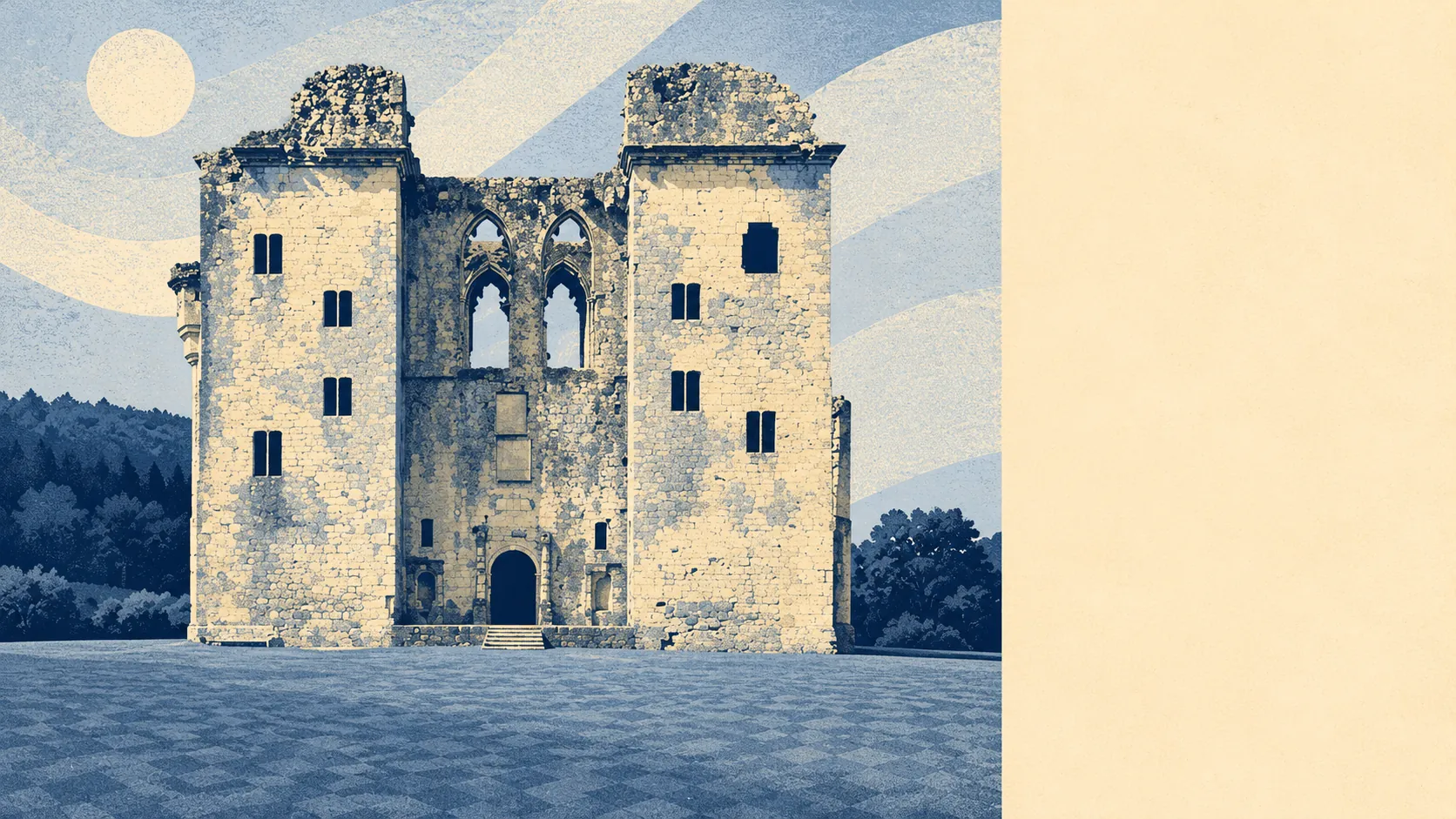
The character follows the geography. Old Wardour Castle and the tithe barn at Place Farm anchor the historic end, and the surrounding hamlets read as a scattering rather than a suburb: Chicksgrove, Fonthill Gifford, West Hatch, Wardour, Tuckingmill and the rest, most of them a few houses and a lane. This page covers the wider villages too, so Hindon, East Knoyle, Ebbesbourne Wake and Alvediston sit within the same protected landscape and the same set of constraints.
Private outdoor space is where the rural version of this really separates from the urban one. Gardens run to roughly 358,000 square metres per thousand residents. That is the measure that matters, because the share of total land given to gardens looks small in any farming parish and tells you nothing. Put plainly, homes here have gardens, and they are not the kind you measure in paces.
Eating out is small but reliable: of 14 rated food premises, about 79% hold the top food hygiene score, and none sit at the bottom of the scale.
The surroundings are the best thing about Tisbury by a wide margin, and the one asset nobody can take away, because the designation that protects the view is the same one that makes building in it difficult. Buy here for the walk out of the front door, and treat everything else as a negotiation.