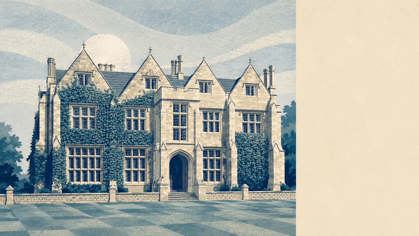
Fields, mostly, with brooks at the bottom of them. Green space begins about 150 metres from the average front door. Nine separate patches of it sit within a kilometre. Water is under a kilometre away, and none of it is protected by anything more formal than being difficult to build on. This is ordinary English countryside, undesignated and completely available, which is a better deal than it sounds.
On green space, the mapping puts an average of nearly nine distinct open spaces within a kilometre of a Timsbury postcode, with the nearest averaging around 150 metres. That is closer than most people's parking. The village sits on a plateau with the northern edge of the Mendip Hills to the south and the Marksbury plain to the north, so the open ground is not a token strip between housing estates. It is the thing the housing was dropped into.
Water is close without being a feature you would buy for. Blue space averages about 880 metres away, with roughly six separate stretches within a kilometre. The Conygre Brook runs along the northern side of the parish and the Cam Brook along the southern, which is what gives the village its two valleys and its useful habit of shedding rainwater downhill rather than sitting in it.
Cycling is the gap. The nearest National Cycle Network route averages about 3.8 kilometres away, and none of the village's postcodes counts as close to it. Anyone wanting a traffic-free ride starts with a drive or a few kilometres of lane. Ancient woodland covers none of the area at all, which the village's own name makes faintly ironic given the wooded hillside it was named for.
The wider postal district carries a proper spread of premises. The rating list for the district records 286 shops, 53 pubs, 25 restaurants and 258 offices, along with 145 holiday lets. That is a district that includes Bath, so read those numbers as what is within reach rather than what is on the village High Street.
Air quality is unremarkable in the good sense. Fine particle levels averaged around 6 micrograms per cubic metre across Bath and North East Somerset in 2024.
The character of the surrounding area is villages rather than suburbs. High Littleton, Farmborough, Camerton, Marksbury, Priston, Peasedown St John and Tunley sit within a short drive, each with its church and its handful of lanes, and the Romano-British town at Camerton and the hillfort west of Tunley Farm are reminders that people have been choosing this ground for a very long time. What is not here is a town. Nothing within the immediate ring pretends to be one.
Private outdoor space is the part the public figures miss. Gardens here run to roughly 170,000 square metres per thousand residents, which is a genuinely large amount of private ground and the reason the village feels open even where the houses are close together. People here have gardens, not balconies.
Within the village itself, the commercial base is small. The valuation list records 26 rateable premises in total, with the largest single category numbering seven and everything else in ones, twos and threes. Those are premises on a list rather than businesses currently trading, so treat the count as the size of the village's commercial footprint rather than as a directory.
Eating out is limited but reliable. Of the 13 rated food premises, around 92% hold the top hygiene score and none sits at the bottom of the scale.
One honest absence is worth stating: no area of outstanding natural beauty overlaps this place, no site of special scientific interest, and no ancient woodland. This is working farmland and old mining country rather than protected scenery. The upside is that nobody needs a designation's permission to enjoy it, and nobody is coming here on a coach.
The surroundings are the best thing about Timsbury by a comfortable margin. Green space at the doorstep, gardens behind the houses, and countryside that belongs to the people who live in it rather than to a visitor economy.