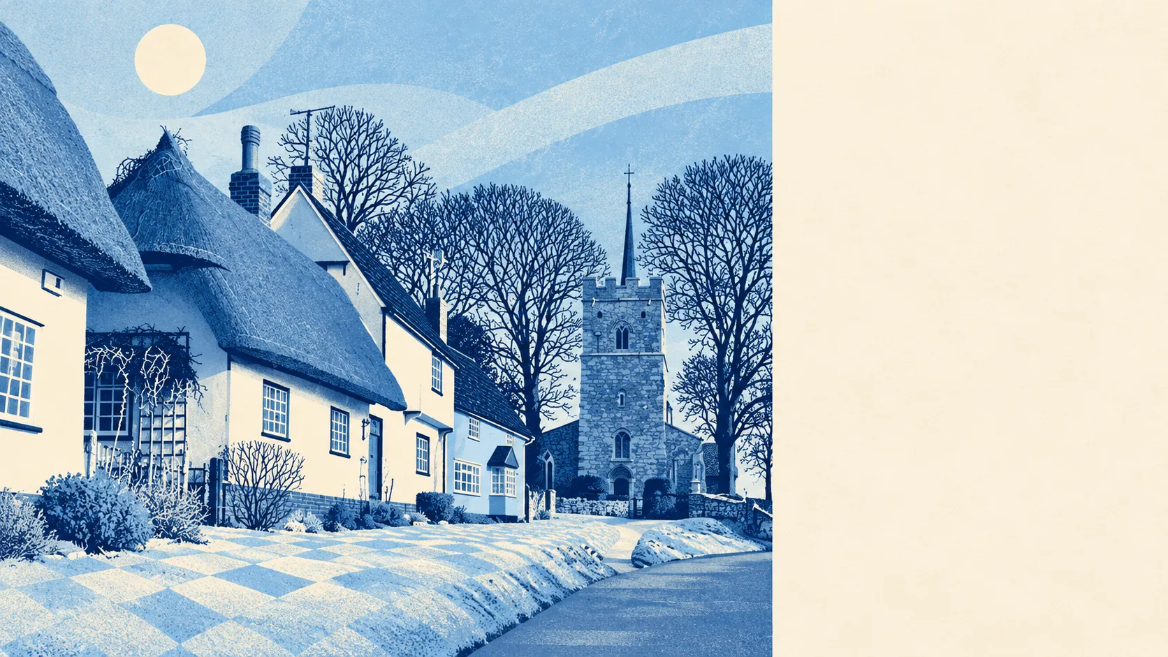
The area around Takeley and Little Canfield is greener and wetter than a village next to an airport has any right to be. A park or field is a couple of minutes' walk from the average front door. Water is closer still. A national cycle route runs past most homes. Gardens are big, and the countryside starts where the estates stop.
Green space is close everywhere. The average home has about 10 public green spaces within a kilometre, and the nearest is roughly 190 metres away. That is a short walk from most front doors, and the dog gets out without anyone having to get the car keys.
Water is even nearer. The nearest pond, stream or other blue space is roughly 160 metres from the average home, and about 28 are within a kilometre. Nobody moves here for a sea view, but the dog will find something to jump in.
The National Cycle Network passes an average of about 290 metres from each home, and about 84% of homes are close to it. A family can get on a signed cycle route without loading the bikes onto a car. That is a rare thing in a parish where most journeys are by car.
Across the wider surrounding area, the rated-premises records list 191 shops, 47 pubs and 31 restaurants. Those figures cover more ground than the village itself, and the closest high streets are a drive away. Food hygiene is good where it is measured. Of the 19 food premises rated in the area, about 84% hold the top score and about 5% are at the bottom end.
Uttlesford recorded fine-particle pollution of about 7 micrograms per cubic metre of air in 2024, a figure for the whole district that includes the airport and the main road.
The village is built around old Ends and Greens rather than a single centre: Brewer's End, Smith's Green, Bamber's Green, Molehill Green and Mill End, with Takeley Street and Little Canfield spread along Stane Street, the old Roman road. The park at Easton Lodge is a short drive north-east. The football club plays at Station Road, and a cricket team has played here since about 1880. The Greens are still mostly green, and some of the Ends are still at the edge of fields.
Homes have plenty of private outdoor space. Across the area's neighbourhoods there are about 223,000 square metres of garden for every 1,000 residents, which reflects the large plots on the detached and semi-detached estates. Most houses here have a lawn, a patio and room for a trampoline. A cramped back yard is the exception.
The business premises on the valuation list come to 86, led by offices (12), warehouses (11) and shops (11), with a smaller number of car parks, industrial units and restaurants. These are premises with a rateable value, which may or may not be trading at any given time. Offices and warehouses outnumbering shops is what happens when a village shares its boundary with an airport's cargo area.
None of the area is designated as an area of outstanding natural beauty, a site of special scientific interest or ancient woodland. The countryside here is ordinary Essex farmland and greens. No designation protects it, and no designation adds rules for the people who live there.
The surroundings are one of the place's real strengths. Green space, water and a cycle route are a short walk from almost every house, and the countryside is close by in every direction except where the airport is.