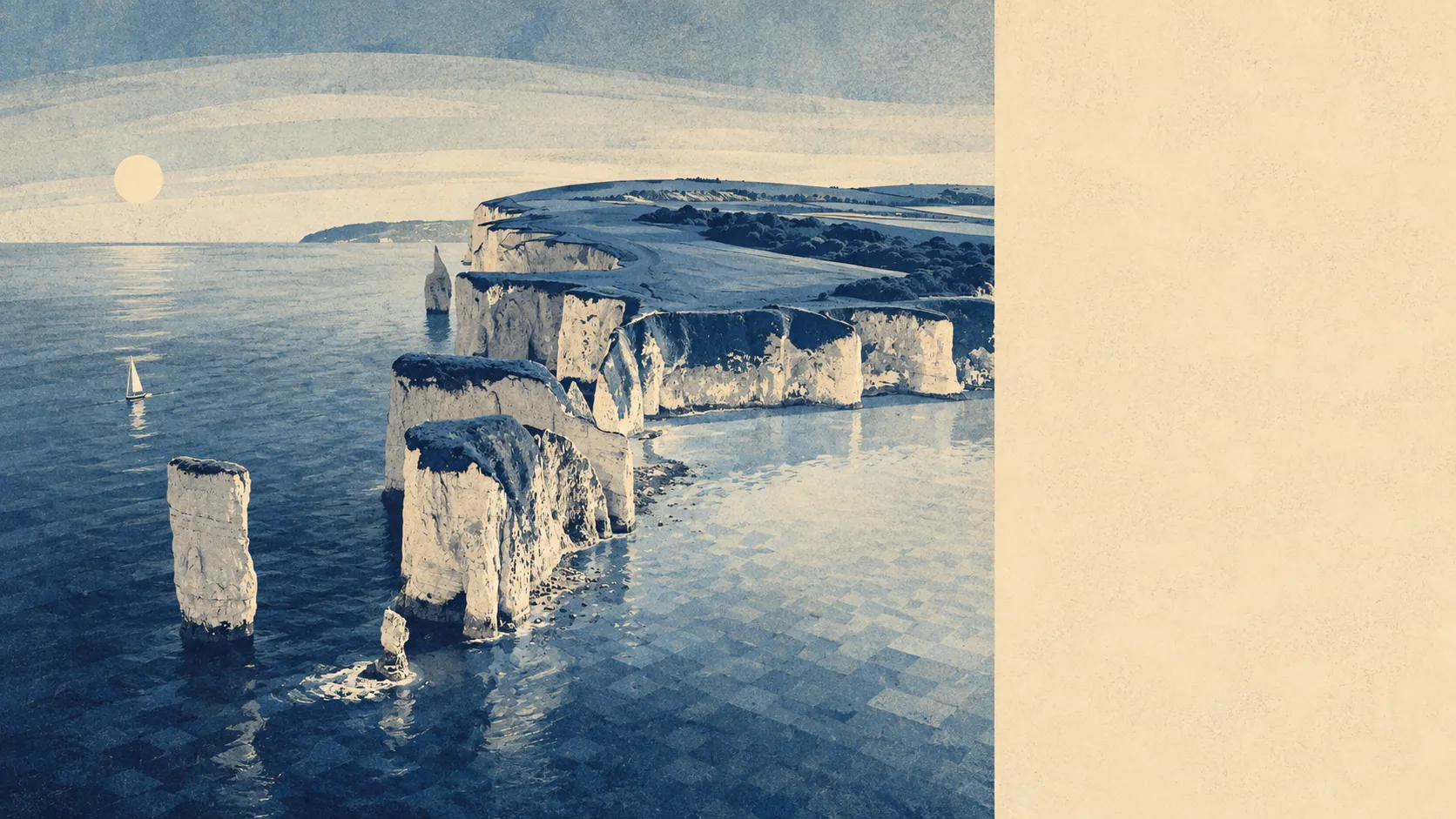
Exceptional, and it is the reason people tolerate everything else about living here. Open ground starts around a hundred and fifty metres from the average front door. Water is barely further than that. The whole place sits inside a nationally protected landscape, hemmed in by chalk ridge on one side and sea on the other. The town is the entry fee. The land is the thing you are actually buying.
Green space access here is close to the best you will find anywhere. The typical postcode has about 18 separate areas of open space within a kilometre, with the nearest averaging roughly 150 metres away. That is not a park at the end of the district, it is open ground at the end of the street, repeated across the whole town. Anyone arriving from a city will spend the first month assuming they have missed something.
Water is nearer still, and there is a lot of it. The average postcode sits about 220 metres from blue space, with roughly 41 separate stretches of it within a kilometre. That count reflects a town wrapped around a bay with Durlston Bay to the south, Studland Bay and Poole Harbour to the north, and Old Harry Rocks marking the corner where the chalk gives out.
Cycling is where the outdoor picture stops flattering itself. The National Cycle Network averages about 5.4 kilometres away from postcodes here, and none of them sit close to it. For a place this walkable, the absence of a proper cycle route in or out is a genuine gap, and the geography explains it without excusing it. There is no ancient woodland in the area at all, which on a chalk and limestone peninsula is unsurprising and worth knowing if trees are what you picture when someone says countryside.
The commercial mix on the rating list tells you what kind of economy this is. Of 871 rateable premises in the area, 161 are shops, 29 are offices, 17 are restaurants and 16 are pubs. Sitting above all of them are 333 premises rated as holiday lets. That single number explains the summer, the winter, the rental market and roughly half the conversations in the town. These are premises on the valuation list rather than businesses currently trading, so treat the counts as the shape of the place rather than a directory.
On food, 155 premises carry a food hygiene rating, about 90% of them at the top score, and none sit at the bottom of the scale. For a town that feeds a seasonal crowd on ice cream and fish, that is a better record than the seafront appearance suggests.
Air quality for the wider council area measured about 5.5 micrograms per cubic metre of fine particulates in 2024. That is a Dorset-wide figure rather than a street-level one, and it is the kind of number you get when the prevailing wind arrives off the Channel.
On designations, about 100% of the area falls within the Dorset national landscape, which is the protection that shapes what gets built and what does not. There is no site of special scientific interest overlapping the town itself, and no ancient woodland, so the landscape protection here is doing the work on its own rather than layered up with ecological designations.
The texture of the surroundings is unusually varied for somewhere this small. Durlston Country Park and its castle sit immediately south, Ballard Down closes the northern end, and the heathland at Godlingston carries so many bronze age barrows that the scheduled monument list reads like a burial catalogue. Rempstone Stone Circle and the medieval strip lynchets at Knitson Farm and East and West Man are within the same short radius. The villages fold in around all of it: Langton Matravers and Worth Matravers on the limestone plateau west of town, Studland over the chalk ridge to the north, and smaller settlements at Herston, Ulwell, Harman's Cross and Woolgarston.
Private outdoor space is generous in a way the public green space discussion usually hides. Gardens here run to roughly 187,000 square metres per thousand residents, which is a great deal of ground held privately rather than communally. People are not relying on the country park for somewhere to sit.
The surroundings are the strongest thing this town has, by a distance nothing else on the page comes close to. Open ground at the end of the street, water two minutes further, and a protected landscape running to the horizon in every direction that is not sea.