Greener than a town this busy has any right to be. A park is barely a street away from most homes. There are dozens within a short walk. The water is mostly in ponds and the odd stream. Sutton looks like a shopping town until you check what is behind the High Street.
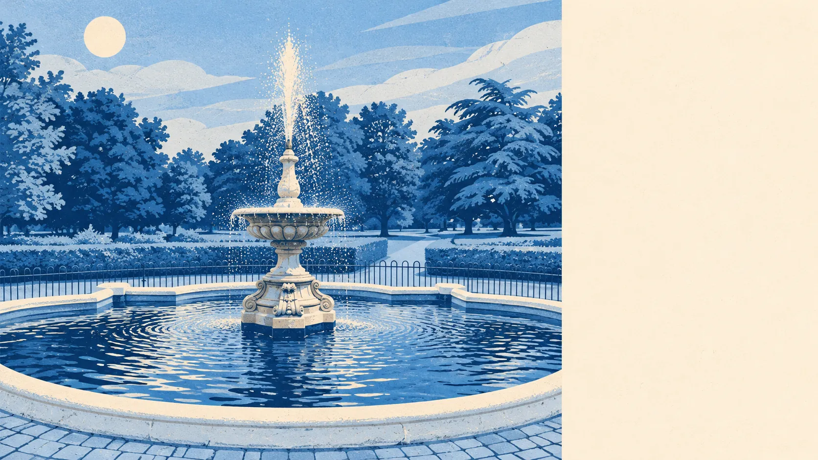
The average home in Sutton is about 141 metres from public green space, with around 30 green spaces inside a kilometre. Rose Hill Park East and West sit either side of the main road to the north, and the woodland in the eastern half gave its name to Greenshaw High School beside it. Manor Park has the war memorial, a fountain added in the 1920s and a café built of straw bales in 2010, the first building in London to use the method. It may well outlast most of the shopfronts on the High Street.
Water is further off. The nearest blue space is about 870 metres away on average, with about six within a kilometre, mostly ponds and the start of the Pyl Brook at Sutton Common. Victoria Gardens, across from Sutton Green, once had a pond and no longer does, which about sums up Sutton's relationship with open water.
The National Cycle Network is about 1,150 metres from the average home, and only about 12% of homes are close to it. The bigger landscapes are in the next places along: Nonsuch Park towards Cheam, Morden Hall Park to the north, and Carshalton's ponds and gardens to the east.
The High Street is a working one. The valuation list has 963 rateable premises in the area, led by 399 shops and 158 offices, alongside 17 pubs and 19 restaurants on the rated-premises count. These are premises on the council-tax-style business rating list, and some will be empty at any given moment. A pop-up market runs monthly at the north end of the High Street, and the restaurant mix now runs from Lebanese and Sri Lankan to Japanese and Portuguese alongside the long-established Italian, Indian and Chinese places.
The air is typical of outer London. Fine particles across the London Borough of Sutton averaged about 8 micrograms per cubic metre in 2024.
The character is a town centre with a park attached on every side. The pedestrianised middle is where the pavement seating lives, the old crossroads at the top still has its listed inn sign, and the streets of Benhilton and Rosehill spread out beyond in semis and short terraces. All Saints Church sits on the hill over Benhilton, Sutton Green has its row of Victorian villas, and the Royal Marsden and the Institute of Cancer Research fill the southern end of town with researchers in lanyards.
Private gardens are reasonable for somewhere this dense. Across Sutton there are about 51,000 square metres of private garden for every 1,000 residents, which is the patch behind the semis, plus the shared ground around the flats, adding up to real outdoor space for a town of this density. Check the garden on the plan before the viewing, because a town where flats make up so much of the stock has plenty of "shared garden" that turns out to be a bin store.
Eating out is a safe bet. Of 232 rated food premises, about 73% hold the top hygiene score and about 5% sit at the bottom.
No protected landscape overlaps Sutton itself, with no area of outstanding natural beauty, no site of special scientific interest and no ancient woodland. Banstead Downs, a site of special scientific interest, begins at the town's southern edge, and the golf course keeps a good part of it mown. Sutton's green space is the ordinary, used, municipal kind, and there is a great deal of it.
Sutton's surroundings are one of its real strengths. The parks are close, plentiful and actually used, and the countryside starts where the town runs out.