Sturry is surrounded by fields, water and very little fuss. Green space is a short walk from most doors. Old quarry workings sit on the edge as lakes. The pubs outnumber the restaurants. It's countryside with a Canterbury postcode, and it doesn't pretend to be anything grander.
Green space is close. The nearest is about 175 metres from the average home, and there are about nine green spaces within a kilometre. For most households, getting a dog walked isn't a car journey, and that's the quiet luxury here.
Water is closer than most people expect. The nearest blue space is about 344 metres away on average, with about 56 bodies of water within a kilometre. Much of that is the Great Stour and the old quarries on the edge of the village, deep workings that were left to flood and now serve as fishing lakes. Kent has found worse uses for a hole in the ground.
The National Cycle Network is about 900 metres away on average, and about 30% of postcodes sit close to a route. That's near enough to use at weekends, though not quite close enough to change a commute.
Across the wider surrounding district, the rated-premises records list 59 shops, 17 pubs and 9 restaurants. Pubs nearly double the restaurants, so the social life here tends to start with a pint and only sometimes finish with dinner.
Fine-particle air pollution across the Canterbury council area measured about 6.7 micrograms per cubic metre in 2024. That's a council-wide figure, not a reading from Sturry's own streets.
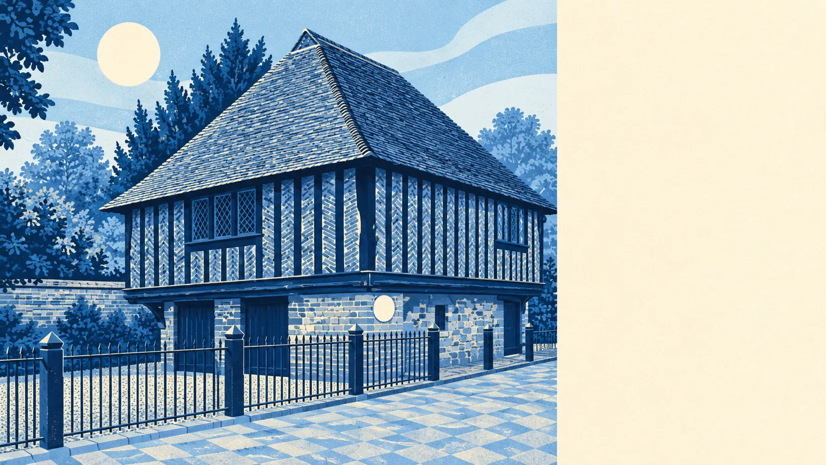
The character is working countryside rather than managed scenery. Arable fields, grazing, coppice woodland and market gardens run around the village. At Blaxland Farm, a small weatherboarded granary still stands on nine staddle stones. Westbere lies along the road to the east, Fordwich sits right next door, and Hersden, Broad Oak, Calcott and Hoath make up the scatter of neighbouring places. Most of the land has been farmed far longer than anyone has been commuting from it, and the countryside still works for a living.
Homes have space of their own. There are about 210,000 square metres of private garden for every 1,000 residents, which is a lot of lawn, and a lot of Saturday mornings behind a mower. The post-war estates were built with gardens in mind, and the owners use them.
The business rates list for the area holds 64 rateable premises, and shops are the largest single category, at 14. The rest spread thinly across a range of other uses. These are premises on the valuation list, not a count of businesses open today, so an empty unit counts as much as a busy one.
Food hygiene is strong. Of the 24 food premises with a rating, about 79% hold the top score of five, and none sits at the low end of the scale. Whatever the village is short of, it isn't clean kitchens.
No protected landscape designation touches Sturry. There's no area of outstanding natural beauty, no site of special scientific interest and no ancient woodland inside the area. Nobody has put a label on these fields, which mostly means they stay what they are: farmland, woodland and water that people use.
The surroundings are Sturry's real strength: fields and water within a short walk of nearly every home, big private gardens, and neighbours who'd rather be in the garden than out on the town.