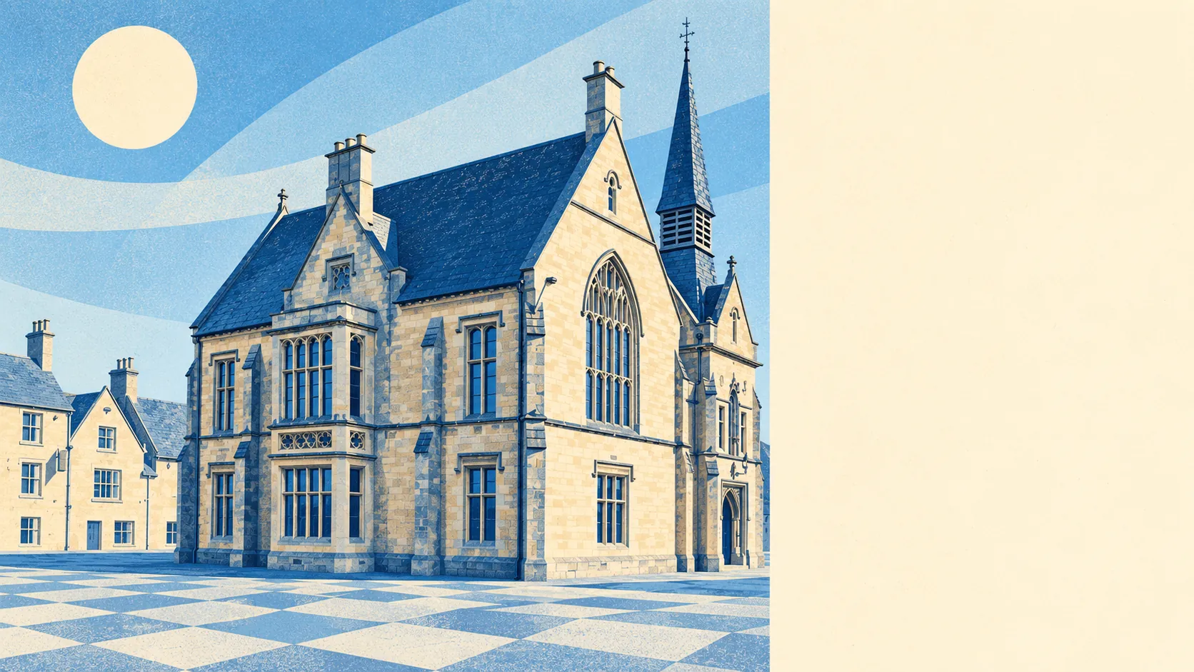
Stow-on-the-Wold has kept its carpets drier than almost anywhere around it, and its police log busier than its postcard looks would suggest. None of the town falls inside the river-and-sea flood zones. The crime rate runs more than a third above the Cotswold average, and anti-social behaviour makes up an outsized share of it. Overall it comes out above average, as long as you can live with that split.
Start with the water, because Stow mostly avoids it. The Environment Agency's river-and-sea flood zones cover none of the town, and no historic flooding is on record. A wider measure counts postcodes on at least one flood indicator, surface water included. On that one, about 3% of postcodes are at high risk, 6% at medium and 15% at low, which means rain with nowhere quick to drain on a handful of streets. The hill was picked as a defensive position back in the Iron Age, and the drainage has turned out to be the longer-lasting benefit.
Safety is where Stow gives some of that back. The police.uk figures published for Gloucestershire Constabulary put the area at about 55 crimes per 1,000 residents in the year to May 2026, roughly 37% above the Cotswold district average. Anti-social behaviour made up about 31% of recorded crime against 16% nationally, and burglary about 9% against 4%, though the totals are small enough that a few incidents shift those shares by several points. Across the force as a whole, about 9% of crimes ended in a charge over the same period, against nearly 12% nationally, putting Gloucestershire 39th of 42 forces. After the 1646 battle, the Church of St Edward held hundreds of Royalist prisoners. The church had the better clear-up rate.
Getting anywhere is harder. The railway station closed in 1962, and at the 2021 Census none of the town's working residents went to work by train. About 47% drove and 29% worked from home. There are 19 bus stops. At the 11 with timetable data, a stop averages about 11 departures a weekday and roughly one an hour at peak, and 10 of them have a weekend service. Superfast broadband reaches 99% of premises but gigabit only 15%, and every postcode gets a 4G or 5G signal from at least one operator. The Department for Transport's 2019 modelled times put the GP about nine minutes' walk away and the nearest hospital about 36 minutes by car, or nearly an hour by public transport. The bus times will have aged faster than the drive. The Fosse Way has carried traffic through Stow since the Romans, and it still carries most of the residents.
The town is older and mostly owner-occupied. About 67% of households own their home and the median resident was 58 at the last Census. The Office for National Statistics models gross household income for the surrounding area at about £52,000 in the financial year to March 2023, averaged across a wider district than the town itself. Harry Ferguson, who invented the Ferguson tractor, died in the town. Edmund Chilmead, the writer and musician, was born in it, and Clement Barksdale was rector here for nearly thirty years of the seventeenth century. More people end up in Stow than start out in it.
In the year to mid-May 2026 the Land Registry recorded 26 sales at a median of about £386,000. Four detached houses went for a median of about £580,000. Semis fetched about £382,000, terraces about £370,000, and eight flats about £383,000. In Stow a flat costs what a semi does, so most of the price is the hill and only some of it is the floor space. Band C is the most common council-tax band, and only about 17% of homes are in bands A or B.
Renters get a wider-area figure. Across the whole Cotswold council area, the Office for National Statistics put typical private rent at about £1,260 a month in April 2026, up about 8% on a year earlier. Nothing in that figure is specific to Stow.
The council-tax valuation list covers every dwelling, and it shows a fairly even mix. Terraces are about 24% of homes, semis 23%, flats 23%, detached houses 17% and bungalows 10%. About 23% were built before 1930. Among homes with an energy certificate, about half are rated A to C and 14% are E or worse. About 77% of homes are on mains gas and 8% heat with electricity alone, which is worth knowing if one of those is an old stone cottage.
Altering anything is a negotiation. Stow has 128 listed buildings: one at Grade I, four at Grade II* and 123 at Grade II, including the Royalist Hotel and the King's Arms. The Stow-on-the-Wold and Maugersbury conservation area covers the centre, and the whole town lies inside the Cotswolds Area of Outstanding Natural Beauty. Replacement windows, extensions and even paint colours can need consent. The market cross in Market Square is a scheduled monument, so the thing visitors photograph most is also the thing nobody is allowed to change.
The countryside is close. The average home is about 170 metres from public green space, with around eight green spaces within a kilometre, and the national cycle network passes about 270 metres away. The nearest open water is about 1.3 kilometres off. Maugersbury, probably the original settlement before the market moved up to the crossroads, is just below the town. Lower Swell is down on the River Dikler, with Icomb and Condicote further out, and this page covers all four. Abbotswood's gardens are on the doorstep for anyone who wants to see what unlimited planning patience grows into.
Stow works for people who drive, set their own hours and want something solid and dry over their heads, and it works best for those who already own their furniture and their opinions. Anyone who needs a train every morning, or who expects a town this handsome to have a police log to match, should keep looking along the valley.
It is a better-than-middling place to live. The water stays off the hill, but the crime figures are the part of Stow its good looks don't cover.