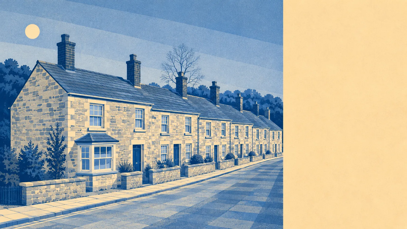
Ordinary Cornish countryside, and that is exactly the point. Green space starts a couple of minutes from most front doors. Water is close enough to reach before you have properly warmed up. No area of outstanding natural beauty, no site of special scientific interest, no ancient woodland. The land around Sticker works for a living, and nobody has ever tried to sell it as scenery.
Green space is genuinely at the door: about 160 metres away on average, with roughly 4 separate spaces within a kilometre. In a village this size that is not a park system, it is the countryside starting where the houses stop.
Water averages about 410 metres from home, with about 4 bodies of it inside a kilometre. None of it is coastal. The sea sits roughly five kilometres off, so what is within walking distance is the inland sort, the kind that runs along a field edge rather than the kind that appears on a tea towel.
Cycling out of the village is a road activity. The National Cycle Network averages about 3 kilometres away, with 0% of Sticker's postcodes counting as close to it, and there is no ancient woodland in the area at all. Anyone expecting traffic-free routes from the doorstep will be sharing a lane with tractors instead.
The wider postal district carries the amenities, and the rating list gives a sense of the mix: around 124 shops, 20 pubs, 14 restaurants and about 140 offices spread across a broad area rather than concentrated anywhere near here. The same list carries 377 holiday lets, which is a fair summary of what a slice of the local housing stock does for a living when nobody is looking.
Fine particle pollution measured about 5 micrograms per cubic metre across the Cornwall council area in 2024. That is a council-wide figure rather than a reading from anyone's garden.
The surrounding area reads as a chain of small settlements rather than a single place. Polgooth, Trelowth, Trewoon, Lanjeth, Hewas Water and Levalsa Meor sit in a loose scatter around Sticker, with St Mewan and St Stephen lending their names to the parishes, and St Austell three miles to the north-east doing everything a town is supposed to do. Sticker itself is a former mining village, which explains why the settlement pattern looks like work rather than planning.
Private outdoor space is the part the tourist board never counts and every buyer wants. Gardens here run to about 320,000 square metres per thousand residents. Whatever house you end up in, it came with ground attached.
Inside the village, the valuation list carries 10 rateable non-domestic premises in total, spread across a small handful of categories. Those are premises on a list rather than shopfronts trading this morning, and 10 is the honest measure of Sticker's commercial ambition.
On eating out, there are 2 food premises here holding a published hygiene rating, and half of them carry the top score, with none in the bottom band. Two rated premises is a data point rather than a dining scene, and anyone hoping otherwise should look at the map again.
The designation list is empty. No area of outstanding natural beauty, no site of special scientific interest, no ancient woodland overlapping the village. In a county carpeted with protected landscape, this corner has none of it, which says less about the view than about what the fields are for.
For everyday access to open ground, this area is about as good as it gets: green within a couple of minutes, water not far behind, and gardens big enough that outdoors begins before you reach the gate. The countryside here carries no badge. It also has no car park, no visitor centre and nobody charging four pounds for a coffee at the entrance.