The area around St John's Wood is green, watery and well supplied, and nearly all of it is close to the front door. The average home is about 150 metres from green space. There are around forty green spaces within a kilometre. Water is a short walk further. Countryside is a long way off, and Regent's Park does that job for most residents.
Green space is the district's great luxury, and it costs nothing. The average home in St John's Wood is about 150 metres from the nearest green space, with around 40 green spaces within a kilometre. Regent's Park and Primrose Hill mark the eastern edge, and Alexandra Road Park is on the map to the north. In a district where buying a house with a big garden takes millions, the park is the garden most people actually use.
Water is close too. The average home is about 490 metres from the nearest blue space, with around 37 bodies of water within a kilometre. The Regent's Canal runs through its own conservation area, and the ponds and lakes of the parks account for much of the rest.
Getting out on a bike is less convenient. The nearest stretch of the National Cycle Network is about 5 kilometres away on average, and 0% of postcodes count as close to it. Cyclists here have parks to ride round and a long way to go before the signposted routes begin.
The local premises lean towards shopping. Of the 659 premises on the business rates list in St John's Wood, 279 are shops, 128 are offices, 22 are restaurants and 11 are pubs. These are rateable premises on the valuation list, which counts the building whether or not anyone is trading in it, but the balance holds. It is a district that shops a lot more than it drinks.
Westminster's air carried about 9.7 micrograms of fine particles per cubic metre in 2024, a figure for the whole council area, busy West End streets and quiet residential ones together.
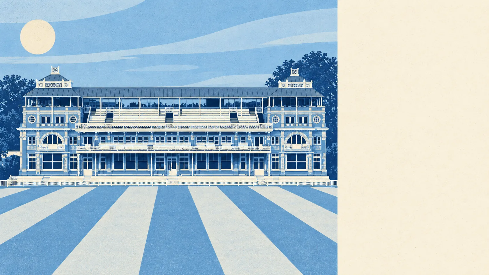
The character is set by what is on the map. Lord's Cricket Ground, St John's Wood Chapel and the villas and mansion flats of 17 conservation areas give the district its look, and Lisson Grove to the south carries a busier, denser feel than the streets around the Wood itself. Swiss Cottage lies to the north, Edgware Road to the west. It is a district built for walking from the park to the shops and back.
Private outdoor space is decent for inner London. Across St John's Wood's 29 neighbourhood areas there are about 17,000 square metres of garden for every 1,000 residents. With most homes in flats, much of that sits behind the houses and inside shared blocks, so check whether a flat's garden is private, communal or just a view of somebody else's lawn.
Eating out is a mixed bag on hygiene. Of the 158 food premises with a hygiene rating in the district, about 56% hold the top score of five, and about 10% sit at the bottom end of the scale. For a district with these prices, the bottom figure is a bit higher than the postcode would suggest.
No protected landscape designation touches St John's Wood: no area of outstanding natural beauty, no site of special scientific interest and no ancient woodland. That is what a fully built-up piece of central London looks like, and the parks do the work instead.
The surroundings are where St John's Wood is at its best. A park at the end of most roads, water within walking distance and shops close by make up for a great deal of what the district charges.