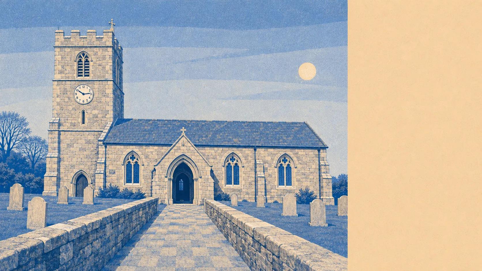
Green, and the working kind of green rather than the framed kind. Green space starts practically at the doorstep for most of the town. Water is nearer here than in plenty of villages that charge a premium for the word coastal. Nothing round here carries a protected-landscape designation. That absence is a large part of why the countryside stays usable instead of curated.
The access numbers are the strongest thing on this page. Green space sits an average of about 120 metres from a home across the area, with around 19 separate green spaces within a kilometre. That is not one municipal park doing all the work for a town, it is a scatter of them, which is the difference between having somewhere to walk and having somewhere to drive to in order to walk.
Water is similarly close. Blue space averages about 380 metres away, with roughly 56 water features within a kilometre, which is what happens in a valley that carries a river down to a harbour and has been rearranged by canal builders and mining engineers for two centuries. The coast is genuinely part of daily life here rather than an occasional excursion.
Getting out into it is easy enough on two wheels. The National Cycle Network averages about 700 metres from a home, and around 28% of postcodes sit close to a route. Given that the whole area was built around moving minerals along level ground, the gradients tend to be more forgiving than the rest of Cornwall generally allows.
The high street is a real one rather than a heritage set. Across the wider postcode districts the records count 303 shops, 22 pubs and 21 restaurants. Twenty-two pubs is a lot of pubs for this kind of place, and none of them are being kept alive by tourists photographing the sign.
Air quality is unremarkable in the best sense. Fine particle levels across the Cornwall council area averaged about 5 micrograms per cubic metre in 2024, which is a council-wide figure rather than a street-level one.
The character comes from the geography and what was done to it. Par sits at the harbour end, Luxulyan inland up the valley, with Polmear, Ponts Mill, Tywardreath Highway and Carlyon Bay strung around the edges. The Treffry Viaduct crosses the Luxulyan valley as a combined viaduct and aqueduct, which is a Victorian engineer solving two problems with one structure and refusing to apologise for it. Castle Dore, an Iron Age hillfort, sits in the same landscape. The historic parks at Menabilly and Tregrehan are here, the Eden Project occupies a former quarry at Bodelva, and Charlestown and Polkerris are close by with their own conservation areas. It is an unusually dense collection of things to look at for a town that never markets itself.
Private outdoor space is where the numbers quietly beat the glossier places. The area holds roughly 193,000 square metres of private garden per 1,000 residents. Whatever else is true about the housing here, people have their own patch of outside, which is not something the pretty harbour villages can say once the cottages have been carved into holiday units.
On the business side, the local rating list carries 227 rateable premises. Across the wider districts the records count 164 offices and 176 holiday lets, which tells you where the local economy sits between working town and visitor economy. These are premises on a valuation list rather than a guarantee that any particular door is open and trading.
Eating out is safer than the reputation of small-town Cornwall suggests. Of 58 rated food premises, about 69% hold the top hygiene score of five, and none sit at the bottom of the scale.
There is no area of outstanding natural beauty here, no site of special scientific interest, and no recorded ancient woodland. That is worth saying plainly rather than leaving as a silence. It means the landscape is working countryside and post-industrial valley rather than protected scenery, and it means nobody is going to tell you what you can do with your hedge.
The surroundings are the best thing St Blazey has going for it: green at the end of the road, water minutes away, gardens people actually have, and none of it fenced off behind a designation.