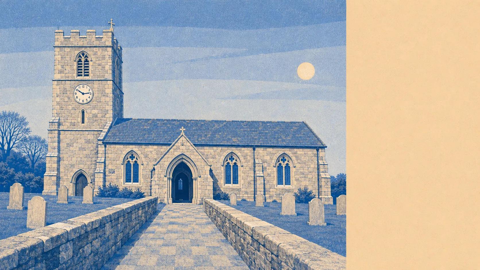
Yes, and with less heritage argument than most of Cornwall manages. No conservation area covers the built-up part of the town. Listing applies to a small, specific set of buildings rather than whole streets. Hundreds of applications have gone in across the area in the last couple of years. The thing most likely to complicate a build here is underground, and it is older than the planning system.
The listed stock is genuinely small. There are 38 listed buildings across the area, of which 33 are Grade II and five are Grade II star. None are Grade I. If your house is one of them, listed building consent applies to anything affecting its special character, which includes work inside as well as out, and the window you dislike is very much the window you keep. If it is not one of them, and statistically it almost certainly is not, none of that machinery touches you. The absence of a conservation area over the town matters more than most buyers realise, because a conservation area is what turns ordinary houses into constrained ones by postcode rather than by merit.
Two scheduled monuments sit within the area. Scheduled monument status is the strictest protection tier in the system and works differently from listing, with its own consent regime covering ground disturbance as well as structures. It matters to almost nobody buying an ordinary house here, and enormously to anyone whose land includes or adjoins one.
The live evidence is that people alter homes here constantly. The planning register carries 725 applications across the area between April 2024 and June 2026, with 297 of those in the last twelve months. That is a working planning department dealing with a steady flow of ordinary domestic proposals, not a town where nothing ever gets built. It says nothing about whether any particular scheme succeeded, and anyone quoting an approval rate at you should be asked where they got it.
The real local constraint is the mining legacy, and it is universal here rather than patchy. Every postcode in the area sits within range of recorded abandoned mine workings, with an average of around nine within 500 metres and up to 27 in the worst-affected spots. The nearest recorded working averages about 21 metres away, and 115 postcodes have a working recorded directly underneath. This is not a coal reporting area, so the process is the Cornish metal-mining one: a mining search as standard, potentially a specialist stability report on top, and a lender or insurer who may want to see both before doing anything useful. None of that means a property is unsafe or that anything will move. It means the questions get asked, the answers take time, and the conveyancing costs a bit more than it would in a town built on ordinary rock.
Practically, that puts most St Blazey houses in the ordinary category. A rear extension, a loft conversion or a garage rebuild on a post-war semi is a permitted development question and a building regulations question, decided on the usual national rules rather than on any local heritage designation. Check the specific title for restrictive covenants, check the mining position early rather than at exchange, and check the flood position if the plot sits low. Nothing here requires a conservation officer to like your taste in doors.
Freedom to alter a house here sits comfortably in the middle: freer than the heritage-heavy Cornish towns that police every window, tighter than a place with nothing underneath it, and the paperwork that slows you down is a mining search rather than a planning committee.