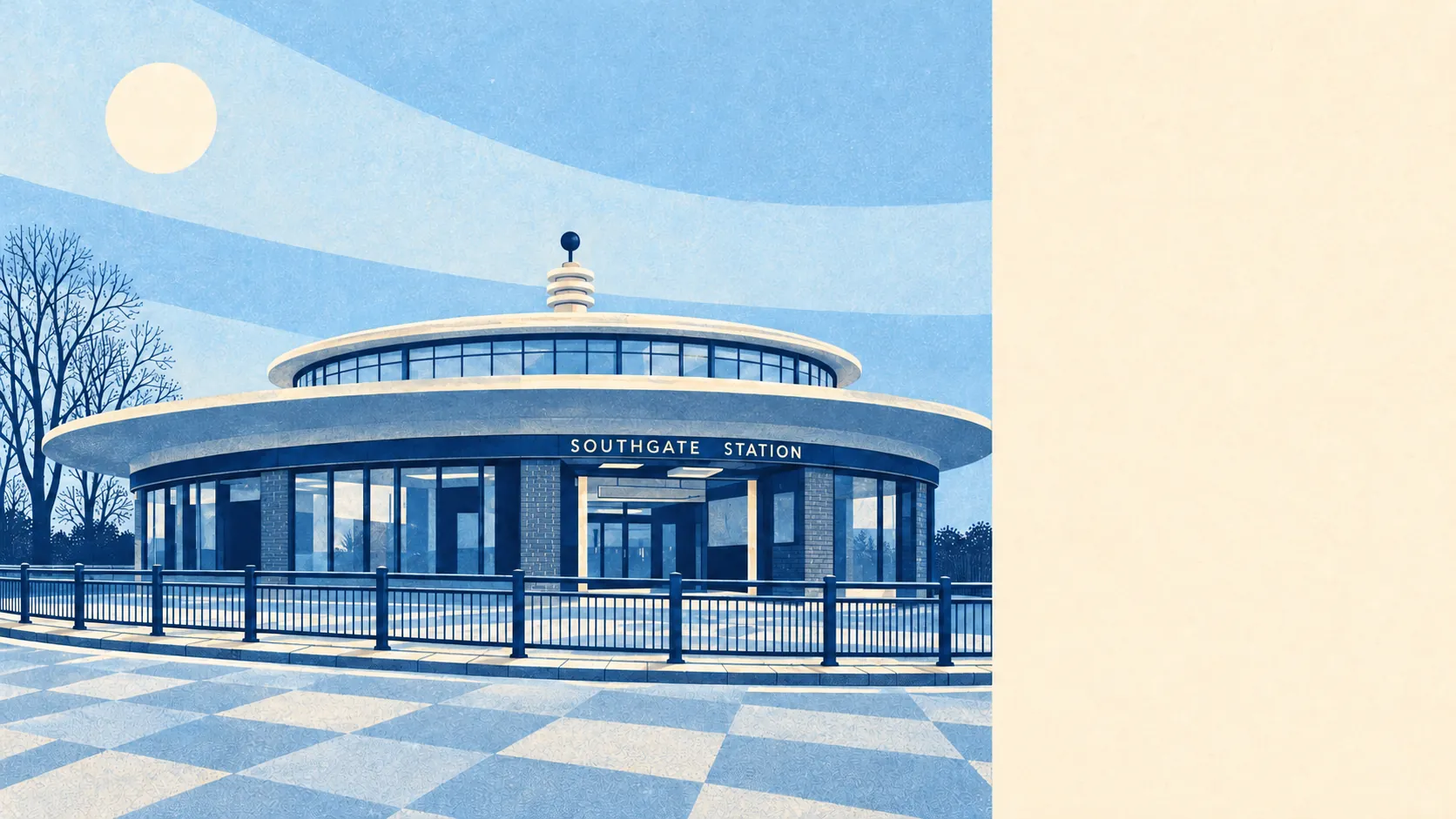
Southgate is well connected for a suburb. Its links run north to south rather than across. The Piccadilly line runs through it. Buses are frequent and run every day. Broadband reaches almost every home. The weak spot is getting anywhere across north London, which is why so many people here still drive.
The Piccadilly line reached Southgate in 1933, and the station it built is now a listed building. Overground rail is close by, though none of it is in Southgate itself, with New Southgate, Palmers Green, Winchmore Hill, Grange Park and Oakleigh Park stations all on the edges. Only about 2% of working residents commuted by train at the 2021 census, and about 5% by bus. The area has 145 bus stops.
Most of Southgate's commute happens without any transport. At the 2021 census, taken during the pandemic, about 43% of working residents worked from home. About 29% drove, about 4% walked and about 1% cycled. About 22% of households have no car, and about 32% have two or more. Southgate was built around a tube line and a ring road in the same year, and it has used both ever since.
The Department for Transport's modelled journey times put the nearest town centre about 9 minutes away by car, 10 by bike, 13 by public transport and 16 on foot. A sixteen-minute walk to a town centre is short for outer London, and plenty of people here could make it more often than they do.
The same journey-time statistics, modelled averages for the area, give a GP about 8 minutes away by car, 10 by public transport and 11 on foot. A hospital is about 17 minutes by car and 36 by public transport, and a food shop about 7 minutes either walking or driving. Employment is about 16 minutes by car and 20 by public transport. Distances to fixed places like these don't change, but the public transport times date from 2019 and bus services have been cut back in places since, so treat those as the least reliable. Even so, the hospital trip is where not having a car costs the most time.
The buses are more than a row of stops. Each stop averages about 323 scheduled departures on a weekday, about 18 an hour at peak, and every one of the 129 stops with timetable records has a weekend service. That is a proper bus network, and nobody here has to learn a timetable.
Road noise is the price of all that traffic. In the official noise mapping, almost every Southgate postcode, about 100% of them, is near or above 65 decibels, the level at which road noise counts as significant. The loudest band recorded reaches 75 decibels. Rail noise doesn't register on the same mapping. The North Circular Road came through Southgate in 1933 to open it up, and its traffic is now the main source of the noise. Check the government's road-noise map for the specific house, because a semi set back on a hill and a flat facing a main road share the same postcode-level figure.
Broadband is the strongest link here. Gigabit-capable connections reach about 87% of premises, and superfast about 99%, with no homes counted below the minimum speed everyone is legally entitled to request. Mobile signal comes from every network across the area.
There are 10 public charging points in Southgate, offering 13 connectors in total, of which 3 are rapid. Three rapid units means charging still needs planning around for anyone without a driveway charger.
For a typical commute, Southgate works best for anyone heading into central London on the Piccadilly line, and for anyone working at home on gigabit broadband. Cross-town trips are harder, and that is where the 29% who drive come from.
Southgate is better connected than average, with a tube line, frequent buses and fast broadband. Its weak points are cross-town travel and road noise across nearly every postcode.