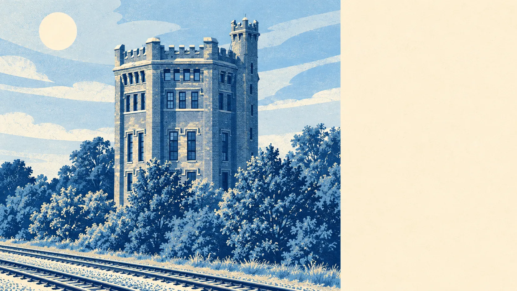
Southall is a dense town with an unusual amount of green and water within a few minutes of every door. The average home is a couple of minutes' walk from a park. Dozens of green spaces sit within a kilometre. The canal is closer than most people expect. For a town this crowded, the escape routes are excellent.
The average Southall home is about 160 metres from the nearest public green space, and about 33 green spaces lie within a kilometre of it. Those range from small recreation grounds to the larger parks on the town's edges, with Osterley Park and Cranford Park among the conservation areas nearby, and Walpole Park and Syon Park a short trip further out.
Water is close as well. The average home is about 390 metres from open water, and about 29 bodies of water lie within a kilometre, most of them the Grand Union Canal and its ponds, cuts and basins. The canal opened in 1796 as the main freight route between London and Birmingham, and these days its heaviest traffic is people walking the towpath.
The National Cycle Network is further off, about 8 kilometres from the average home, and no Southall postcode is close to it. There is no ancient woodland in the area. The towpath is the long-distance route most residents use, running east past the Hanwell flight of locks, a scheduled monument, towards Brunel's Wharncliffe Viaduct, which carries the Great Western Railway over the River Brent and was his first major structural design.
The rating list for Southall records 524 shops, 26 restaurants, 199 offices and 4 pubs. That shop count is what gives the high street its weight, and the small number of pubs means an evening out here is more likely to mean a meal than a pint.
Fine-particle air pollution across the London Borough of Ealing averaged about 8.7 micrograms per cubic metre in 2024, a borough-wide figure that takes in busy main roads and quieter streets alike.
The character comes from two things the town was built on, the canal and the railway, and from the busy, shop-heavy high road between them. Southall Manor House, a Grade II* listed Tudor-style house dating back to at least 1587, survives at the old centre near The Green, and Norwood Green to the south has kept a more residential feel. Hanwell Village Green and St Mark's Church and Canal are conservation areas a short walk east.
Private gardens are modest. Southall has about 28,700 square metres of garden for every 1,000 residents, which in a town of terraces and flats means a back yard more often than a lawn. The public parks are doing much of the work private gardens would do elsewhere, which is why there are so many of them so close.
The valuation list holds 1,317 rateable premises in Southall, from the shops and offices to warehouses, workshops and car parks. Those are premises on the list, some of which may be empty or changing hands at any one time, and the shops are by far the largest group.
Of the 343 food outlets rated for hygiene in Southall, about 43% hold the top score of five and about 18% sit at the bottom of the scale. Checking the rating on the door before ordering is the sensible habit here.
No protected landscape overlaps Southall. There is no area of outstanding natural beauty, no site of special scientific interest and no ancient woodland. This is urban west London, and its green space is parks, playing fields and canal banks, all of it public and all of it close.
Southall's surroundings are one of its real strengths, with a park or the canal a few minutes from almost every home. For a crowded town, it has done remarkably well at leaving people somewhere to go.