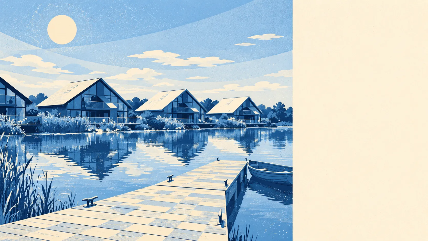
South Cerney is a good village to live in if you own a car and have no plans to give it up. A bus stop here sees about ten departures on a weekday. Fewer than one worker in a hundred commutes by train. More than half of households run two cars or more. The water, the footpaths and the old village centre make up for a lot, though the bus shelter makes up for nothing.
The Census in 2021 found that about 45% of working residents drove to work and 39% worked from home, with about 1% taking the bus. Of the 26 bus stops in and around the village, the 12 with timetable data average about ten weekday services each and fewer than one bus an hour at peak. Two-thirds of them see a bus at the weekend. The Department for Transport's modelled journey times date from 2019 and the bus figures will have aged worst. They put the nearest town centre 13 minutes away by car and 28 by public transport, and a hospital 30 minutes by car and 72 by bus. Superfast broadband reaches 97% of premises, but gigabit speeds reach only 11%. Every postcode gets a 4G or 5G signal from at least one network, and 96% get it from all of them. The village has stopped commuting and taken up video calls, and the broadband hasn't caught up.
Over the year to April 2026 the Land Registry recorded 45 sales at a median of about £443,000. Detached houses went for around £650,000 across 19 sales, semis for about £380,000 and terraces for about £313,000. Band C is the most common council tax band, and about 23% of homes are in bands A or B. Plenty of buyers want a detached house in the village, and the £650,000 is what stops most of them.
Across Cotswold District, the typical private rent was about £1,260 a month in April 2026. That figure is the Office for National Statistics' mean for the whole district, so it doesn't price a South Cerney house in particular. Close to three in ten households here rent, a bit under a fifth of them privately, so the rental market is small and quick to empty.
The valuation list covering every home has about a third detached, 21% semi-detached and 22% terraced. Bungalows make up 10% and flats only 9%. Just 12% of homes were built before 1930, and around 10% went up between 2000 and 2008. Of the homes with an energy certificate, about 62% are rated A to C. About 74% are heated by mains gas and 7% by electricity alone. Someone hunting for a flat will run out of listings before they run out of coffee.
About 68% of households own their home, the median resident is 45, and the Office for National Statistics models gross household income at about £61,850 for the year to March 2023. That income figure is an estimate averaged across a wider area, though it matches the multi-car driveways. This is a village of owners with two cars on the drive, and the bus timetable gets ignored with a clear conscience.
On the postcode indicators, which count surface water as well as rivers, about 14% of postcodes carry a high risk on at least one measure. The Environment Agency's river-and-sea flood zones are smaller: about 5% of postcodes in zone 3 and 3% in zone 2. None of the village falls inside the Agency's recorded historic flood outlines. A village with that much water around it will have some of it in the wrong place, and anyone who calls the surface-water figure a rounding error has never been in a wet garden in January.
Police figures for the year to May 2026 put South Cerney at about 34 recorded crimes per 1,000 residents, roughly 16% below the Cotswold District average of around 40. Gloucestershire Constabulary covers the area. The local neighbourhood forum has very little to work with.
The area holds 57 listed buildings, one at Grade I and 56 at Grade II. The South Cerney conservation area covers the old core, and the remains of South Cerney castle are one of two scheduled monuments nearby. Owning a listed home means listed building consent for most alterations, and the conservation area adds its own controls on what changes outside. People who buy a Grade II cottage for its windows tend to find out how much the windows have to say about it.
Seven primary schools in the postal district average about 105 in the end-of-primary maths tests. Across Gloucestershire, Ofsted grades 136 of 156 graded settings as good or outstanding, nine of them outstanding, though that is a county-wide figure. Ann Edwards Church of England Primary School and Siddington Church of England Primary School are among the nearby primaries. For secondary, families look to Cirencester Kingshill School, Cirencester Deer Park School and Farmor's School. On the 2019 model, the nearest primary is about a 23-minute walk. Secondary is 13 minutes by car, 28 by public transport and nearly 50 on foot, so the school run here is mostly done by car.
This is where the village does best. The nearest green space is about 165 metres from the average front door, and open water about 250 metres. Most homes have close to 60 bodies of water within a kilometre. The Cotswold Water Park Site of Special Scientific Interest runs along the edge of the village. Somerford Keynes, which this page also covers, shares the same lakes and the same reliance on the car. Few places let you walk from the front door to a nature reserve faster than you can find your shoes.
South Cerney is right for households with a car each and work that happens over broadband, people who want water and footpaths on their doorstep, and families happy to drive to secondary school. Anyone who doesn't drive, or needs a regular hospital appointment, should look at Cirencester first.
Getting anywhere without a car means one bus an hour at best and a 72-minute public transport trip to hospital, so every errand comes back to the car keys. Everything else adds up to a village better than most. It is safe, mostly owner-occupied and surrounded by water and countryside, and it is a good place to live as long as the car keeps working.