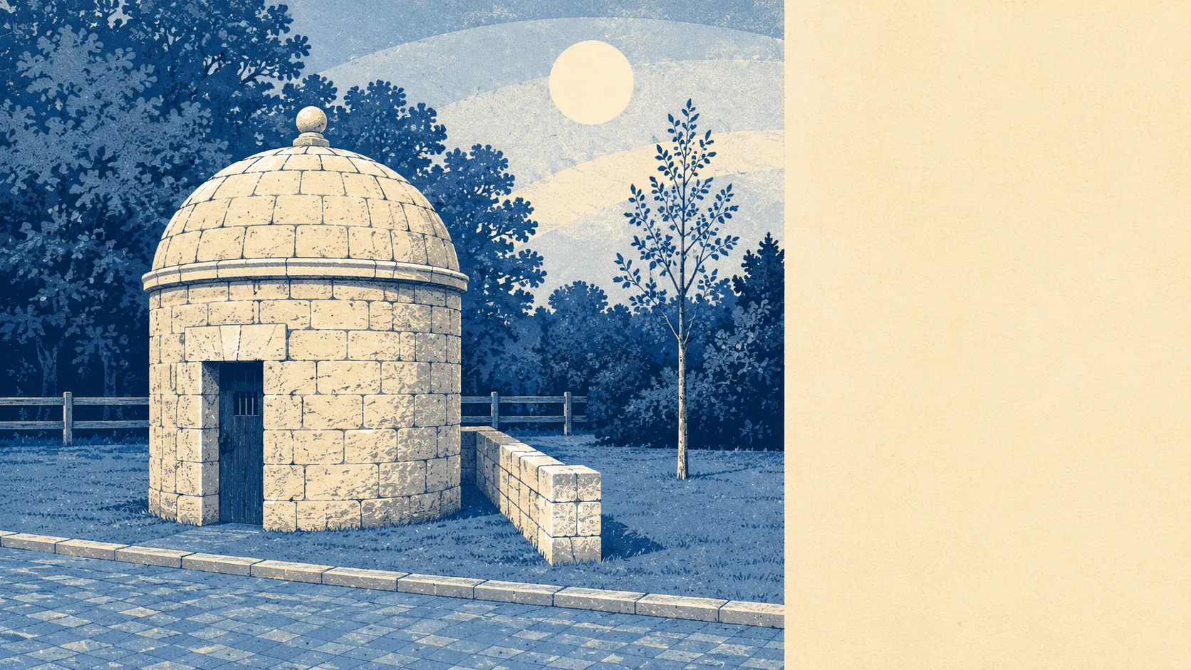
Empty, ancient, and wetter underfoot than a chalk plateau has any right to be. Green space begins a few hundred metres from the average front door. Water is closer than that. The gardens are enormous and the pub count is healthy. What surrounds Shrewton is not countryside as decoration, it is countryside as the main event, with the village sitting in it as a minor interruption.
For public green space, the average address here has about four sites within a kilometre, with the nearest at roughly 420 metres. That is a walk in slippers rather than a drive with a flask. In a village this size, the practical meaning is that nobody has to plan a walk. You leave the house and you are in one.
Water is nearer still. Blue space averages about 370 metres from the typical address, with roughly 20 water features within a kilometre. The River Till runs close to its source through here, and chalk streams do not arrive alone. They arrive with ditches, channels, ponds and the wet bits of field that appear in February and are gone by May.
Cycling is the one outdoor thing that takes organising. The National Cycle Network sits about 3.6 kilometres away on average, with roughly 28% of postcodes counted as close to it. Everyone else rides the lanes, which are quiet, undulating and shared with agricultural vehicles that were not designed with your handlebars in mind.
The commercial mix across the wider area runs to 351 shop premises, 66 pubs, 381 office premises and 26 restaurants, alongside 57 holiday lets. That ratio tells the honest story: pubs comfortably outnumber restaurants, and a fair slice of the local economy is people coming to look at things and needing somewhere to sleep afterwards.
Air quality is the quiet advantage. Fine particle pollution across the Wiltshire council area averaged about 6 micrograms per cubic metre in 2024. That is a rural number, and it is one of the few metrics here where being far from everything pays a straightforward dividend.
On protected landscape, about 2% of the area falls inside the Cranborne Chase and West Wiltshire Downs National Landscape. It is a sliver rather than a defining feature, and the surrounding downland does not need a designation to look like downland.
The character comes from what the area is stuffed with. This is Salisbury Plain, with Stonehenge to one side and Tilshead the other way along the road, and the ground between them carrying Robin Hood's Ball, the Cursus, White Barrow and Yarnbury Castle. Nearby settlements read like a list of things that happened to a river: Winterbourne Stoke, Great Durnford, Steeple Langford, Netton, Orcheston. Larkhill and Netheravon bring the military presence. Salisbury is the city everyone drives to when they want a proper shop.
Private outdoor space is where this area quietly humiliates the suburbs. Across the four neighbourhoods measured, private gardens run to roughly 355,000 square metres per thousand residents. Whatever you are currently calling a garden, this is a different category of object.
On the valuation list, the immediate area carries 172 rateable premises. Those are premises rather than trading businesses, so treat the number as a measure of built commercial space rather than a promise of what is open on a Tuesday.
Eating out is a short list done well. Of 31 rated food premises, about 81% hold the top hygiene score and none sit at the bottom of the scale. A small selection with nothing embarrassing in it is a better outcome than a long one with something to hide.
Two absences are worth stating plainly. There is no site of special scientific interest overlapping this area, and no ancient woodland at all. This is open chalk farmland with a river through it, not a woodland landscape, and the lack of trees is a description rather than a criticism.
The surroundings are the best thing about living here, without much competition. Green space at the door, water nearer than that, clean air and gardens that would cost a fortune anywhere with a railway station.