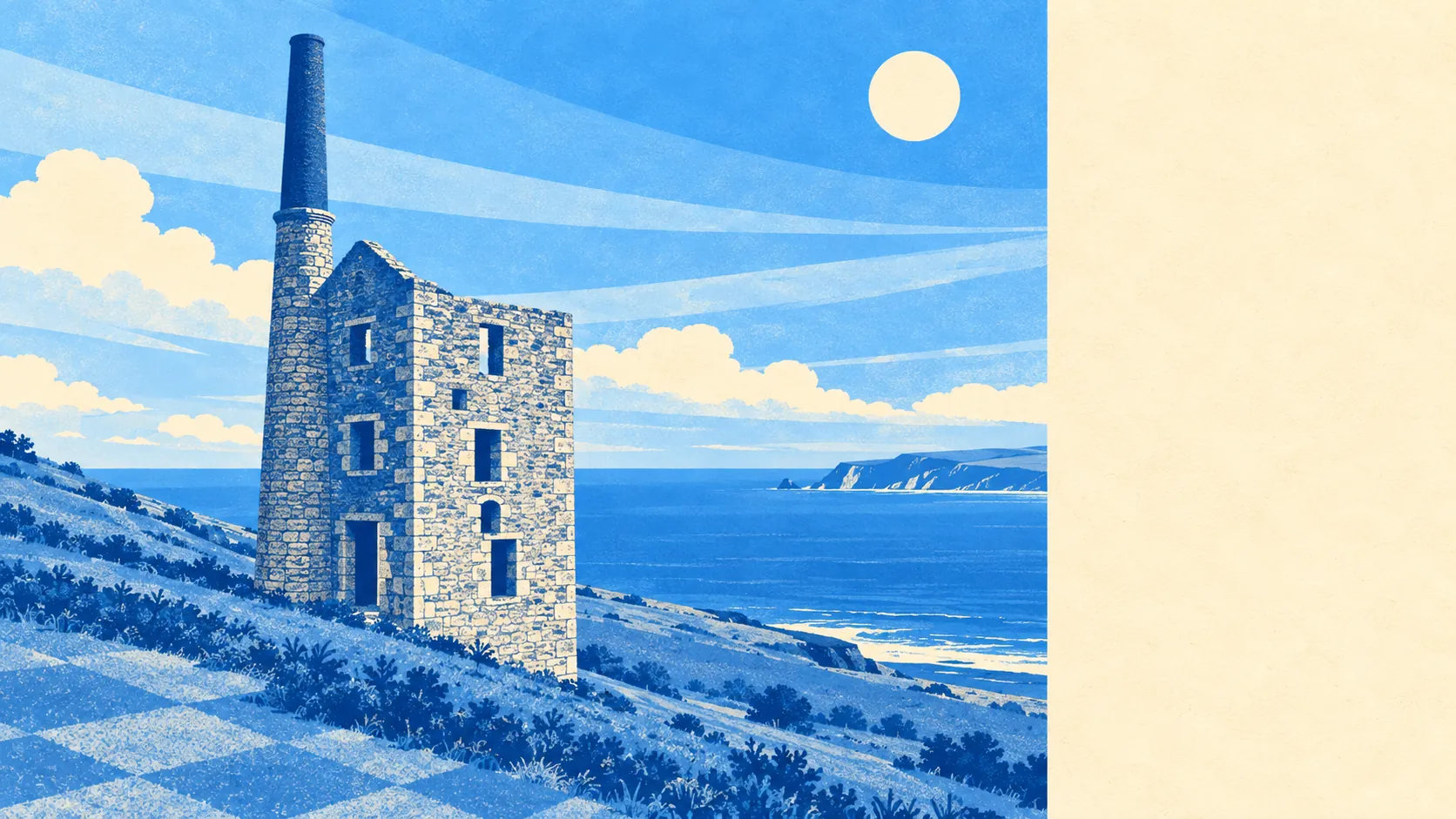
Worked-over countryside that nobody has bothered to designate as anything. Two green spaces sit within a kilometre of the average front door. Three stretches of water sit within the same radius. The gardens are the size that town buyers assume is a typo. This is scenery without a brown sign, and the lack of official recognition is precisely why it stays quiet.
Green space is close and plural rather than distant and singular. The average postcode has about two accessible green spaces within a kilometre, at a mean distance of roughly 450 metres. That is a walk measured in minutes rather than a drive measured in decisions, which in a rural area is less common than people expect.
Water is nearly as close. The nearest blue space averages about 700 metres away, with roughly three within a kilometre of the typical address. None of it is the sea, which sits several kilometres off, so what you get is the inland version: streams, pools and the flooded leftovers of an industry that dug holes for a living.
For anyone wanting to ride rather than walk, the National Cycle Network is about 2.2 kilometres away on average, and no postcodes count as close to it. There is no ancient woodland here at all. The riding, then, is on lanes rather than on a route somebody has signposted for you.
The amenity mix across the wider postal district is heavier on the practical than the ornamental: around 36 shop premises, 18 pubs and 2 restaurants on the rating list. Two restaurants for 18 pubs is a ratio that tells you exactly what evening out is available and what the local view is on booking a table.
Air quality is the kind that does not make the news. Fine particle levels across the Cornwall council area averaged about 5 micrograms per cubic metre in 2024, which is a council-wide figure rather than a reading taken at the end of any particular lane.
As for character, the place is stitched together out of small settlements with names that read like a Victorian surveyor running out of patience: Scorrier, Wheal Rose, Todpool, Vogue, Sparry Bottom, Jolly's Bottom. The heritage that survives is industrial and nonconformist rather than picturesque, with Gwennap Pit, the Church of St Euny and Wheal Busy Chapel among the listed structures, and scheduled monuments including the mining complex at Wheal Peevor and the Tolgus arsenic works. Bronze Age barrows sit at Three Burrows and Two Burrows, which means the landscape has been getting quietly dug up for roughly four thousand years.
The private outdoor space is the number worth dwelling on. Gardens run to roughly 227,000 square metres per 1,000 residents, which in plain terms is a great deal of grass per household. Buyers coming from a terrace with a yard should understand that mowing becomes a scheduled activity here rather than an afterthought.
On the commercial side, the valuation list records 82 rateable premises in the area, and across the wider district the mix leans towards workshops, offices and holiday lets rather than retail frontage, with roughly 142 rateable holiday lets in the district. Those are premises on a list rather than businesses guaranteed to be trading, so read them as capacity rather than as a directory.
Eating out is a small field with a clean record. All 7 food premises with a published hygiene rating hold the top score, and none sits in the bottom bands. Seven is not a scene, but the seven are doing it properly.
One honest absence is worth stating. No area of outstanding natural beauty, no site of special scientific interest and no ancient woodland overlaps this area. The countryside here has no legal protection dressed around it, which is a fact about paperwork rather than a judgement on the view.
The surroundings are among the strongest things this place has going for it: green space and water within an easy walk, private gardens on a scale most of the country has forgotten, and industrial archaeology scattered through the fields instead of a visitor centre charging for it.