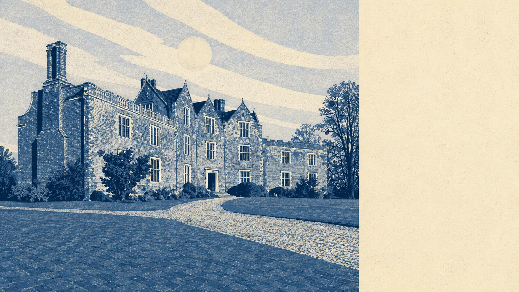
Green, quiet, and spread out on purpose. Green space begins a couple of hundred metres from the typical front door, and water is not much further. Much of the parish sits inside a national park. The commercial life of the village fits on a very short list. This is countryside you live in rather than countryside you drive to on a Sunday.
On green space, the average address here has around 5 sites within a kilometre, with the nearest about 210 metres away. That is doorstep access rather than a hopeful ramble, and it is the single most consistent thing about the surroundings. For a place with almost no formal amenity, it is remarkable how little effort it takes to be standing in something open.
Water is close too. Blue space averages about 580 metres from the typical address, with roughly 4 separate sites within a kilometre. Ponds, streams and the woodland's water features do the work here rather than anything you would sail on, but the point stands: the countryside around Redlynch is not just fields with a hedge around them.
Cycling is the outlier. The nearest National Cycle Network route sits about 6.8 kilometres away on average, and no postcode in the area counts as close to one. Cyclists here ride lanes with hedges and blind bends rather than anything waymarked, which suits the confident and puts most people off. There is no ancient woodland recorded within the area itself, despite the national park's reputation for exactly that.
The amenity picture depends heavily on how wide you draw the circle. Across the wider postcode area there are 116 shops, 39 pubs and 8 restaurants on the ownership records. Within the area itself, the valuation list carries just 26 rateable premises in total, with the largest single category running to 4 of them. That is the honest version of village life: a handful of premises locally, and everything else a drive away through somebody else's village.
Air quality is unremarkable in the good sense. Fine-particle pollution across the Wiltshire council area averaged 6 micrograms per cubic metre in 2024, which is a council-wide figure rather than a reading taken at the end of any particular lane.
The character comes from the arrangement rather than any single landmark. The parish gathers up Morgan's Vale, Woodfalls, Lover and the hamlet of Bohemia, with Hale, Wick, Newton and Charlton All Saints scattered around the edges. The formal heritage that draws visitors sits just outside, at Hale Park and at the Moot in Downton, where the conservation area is. This page also covers Landford and Whiteparish, both variations on the same theme a few miles along the lanes: houses, hedges, a church, a school, and a great deal of sky.
Private outdoor space is where the numbers get properly rural. Gardens here run to roughly 467,000 square metres per 1,000 residents, which is the measure that matters when comparing places, and it means the outdoor space people actually own is on a different scale from anywhere with terraces. Nobody moves here and complains about the size of the plot.
Eating out is a short list handled well. Of the 6 premises with a published food hygiene rating, about 67 percent hold the top score, and none sit at the bottom of the scale. Six rated premises is not a scene, but the ones that exist are not cutting corners.
On designations, the area carries no area of outstanding natural beauty, no site of special scientific interest, and no recorded ancient woodland within its own boundaries. That is worth saying plainly rather than leaving as silence: the landscape here is protected by the national park's presence around it rather than by a designation stamped on the village itself, which in practice means the countryside is working farmland and forest edge rather than a preserved exhibit.
The setting is one of the best things about living here, and the only real gap is the absence of anything waymarked to ride. Everything else is already outside the door.