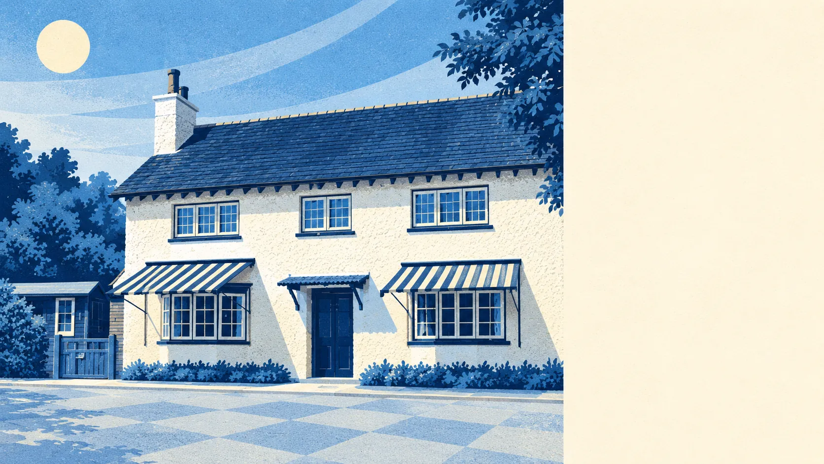
Green, hilly and close to open country. The average home has more than a dozen green spaces within a kilometre. The chalk of the North Downs rises on the edge of town, and open common land starts on the Kenley side. Open water is in short supply and so are pubs. For a London borough address, it is a lot of countryside.
Green space is close everywhere. The nearest park, common or playing field is about 180 metres from the average home, and there are about 15 green spaces within a kilometre. North-east Purley climbs into the chalk spurs of the North Downs, and Riddlesdown and the open commons around Kenley give the eastern and southern sides proper open ground. Most residents can reach grass without crossing a main road.
Water is harder to find. The nearest river, lake or pond is about 1.6 kilometres from the average home, with an average of 0.7 bodies of water within a kilometre. That makes it a destination you have to set out for. Water is the one thing the landscape left out.
The National Cycle Network is about 2.1 kilometres from the average home, and no postcode counts as close to it. There is no ancient woodland in the area. Cyclists head for the hills and the commons, and leave the long-distance routes for weekends with a plan.
The ratings list counts 188 shops, 14 restaurants and just 5 pubs, which makes Purley a place of shops by day and of front rooms by night. Five pubs for a district this size means a night out mostly happens somewhere else or at home.
Fine-particle pollution across the London Borough of Croydon averaged 8.4 micrograms per cubic metre in 2024. That figure covers the whole borough, so it describes Croydon's air in general and says nothing particular about Purley's hillsides.
Purley grew in the 1920s and 1930s as a place of spacious homes in a green setting, and the plan has held. Woodcote is centred on its village green and has a model village. The Webb Estate grew out of farmland. Kenley is surrounded by the Metropolitan Green Belt on three sides, and Kenley Aerodrome, one of the fighter stations that defended London in the Second World War, still sits in open land to the south. The Promenade de Verdun memorial landscape adds a line of poplars and an obelisk to a residential road. Few London suburbs have their own wartime aerodrome to walk past.
Private gardens add up to about 163,000 square metres for every 1,000 residents, which is a lot of lawn per person by London standards. Many homes here come with real outdoor space of their own, on top of the parks. Measure the actual garden on the viewing, because a flat by the station and a house on the Webb Estate share a district average and very little else.
The valuation list counts 442 rateable premises in Purley, including 187 shops, 57 offices and 14 restaurants. These are premises on the rating list, which is not the same as businesses currently trading, but the mix shows a working suburban centre with more office space than many residents probably notice.
Of the 158 food businesses inspected for hygiene, 67% hold the top rating of five, and about 3% sit at the low end of the scale. A meal out here is a fair bet on cleanliness, even if the choice of places is short.
No area of outstanding natural beauty, site of special scientific interest or ancient woodland overlaps Purley. The Green Belt does the protecting here instead, and the commons around Kenley don't look any worse for the lack of a badge.
The surroundings are one of Purley's real strengths. Grass and chalk downland are close to almost every door, and the main things missing are a river and a decent pub crawl.