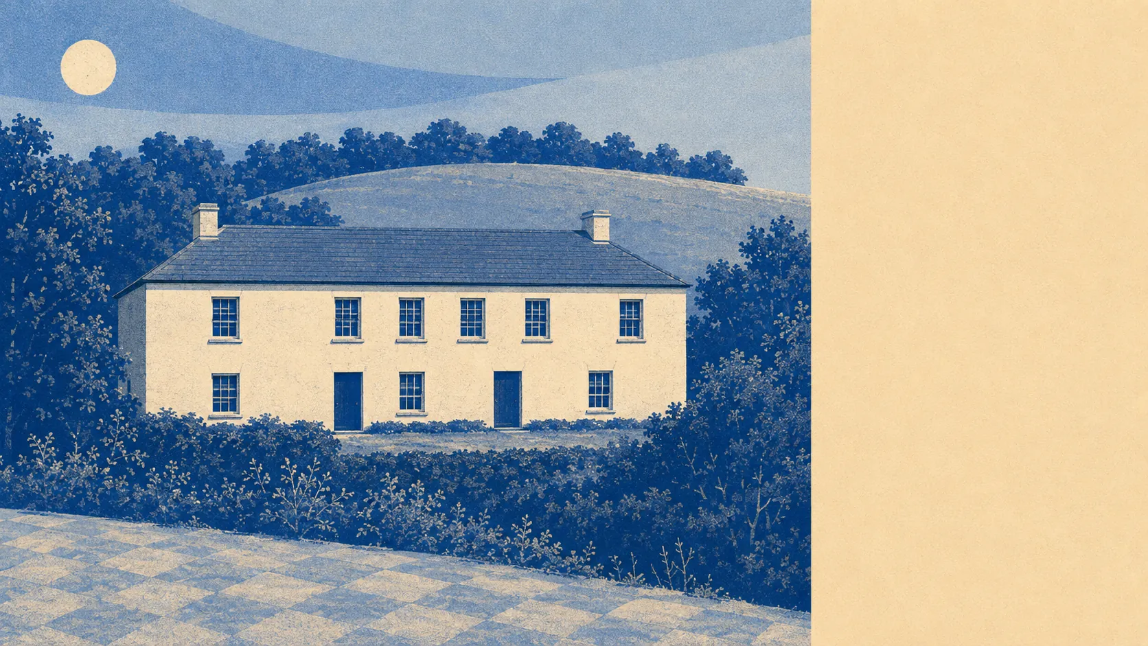
Green, and close enough that you can be in it before the kettle boils. Open space starts within a couple of minutes of the front door. Water is barely further. Gardens here are enormous by any urban standard. The nearest town is a short drive rather than a walk. This is countryside you use rather than countryside you photograph from a car park.
Green space is the headline. Across the village's postcodes, open space sits an average of 173 metres away, with nearly seven separate sites within a kilometre. That is not a park you drive to at the weekend, it is a set of choices within a few minutes on foot, and it is the single best thing about the location.
Water is almost as close. Blue space averages about 237 metres away, with 15 separate water features within a kilometre. In a valley village that is streams and ponds rather than a beach, but it is the kind of landscape where a walk has water in it as a matter of course rather than as a destination.
For longer trips out, the National Cycle Network is about 1,545 metres away on average, and no postcode in the village counts as close to it, so getting onto the traffic-free network means a ride on the road first. There is no ancient woodland inside the boundary at all.
The wider area's commercial mix is what you would find on the rating list rather than a high street: 124 shop premises, 20 pubs, 14 restaurants and 140 offices across the surrounding district. Those are rateable premises on the valuation list, which counts the unit rather than whether something is trading in it this morning. Within the village itself, the list carries just 15 rateable premises in total, and the largest single category is care homes at six, followed by a couple of shops. That is the honest shape of the place: this is a residential village attached to a nearby town, not a village with its own commercial centre.
On air, fine particle levels for the Cornwall council area measured about 5 micrograms per cubic metre in 2024. That is a council-area figure covering a very large and mostly rural authority rather than a reading from this village.
The character comes from what surrounds it. Polgooth sits mainly in the parish of St Mewan and partly in St Ewe, with St Austell about two miles to the north-east and a scatter of small settlements in every other direction: Sticker, Trelowth, Trewoon, Lanjeth, London Apprentice, Hewas Water and Little Polgooth among them. Most have a few dozen houses and a name older than anything in them. The nearest conservation areas are at St Austell and Pentewan rather than here, and the nearest scheduled monuments include a mining complex at South Polgooth Mine and a round called Castle Gotha, which tells you the two things this landscape has always been: dug up and lived on.
Private outdoor space is where the numbers get genuinely striking. Gardens here run to about 332,000 square metres per thousand residents, which is a quantity of private ground that no town or suburb comes close to. People do not just live near open space here, they own a serious amount of it.
For eating out, the local rated premises are few but sound: four food premises hold a hygiene rating, 75% of them at the top score of five, and none sit in the lowest bands.
One honest absence is worth stating. No area of outstanding natural beauty overlaps this area, no site of special scientific interest and no ancient woodland. This is working Cornish countryside, farmed and formerly mined, rather than protected landscape, and that is a description of what it is rather than a mark against it.
The surroundings are the best reason to live in Polgooth: open space within a two-minute walk, water almost as close, and gardens large enough that the countryside starts before you leave the property. What it lacks is a designation, and nobody has ever enjoyed a walk more because a map had a boundary on it.